- Usage in publication:
-
- Escabrosa limestone*
- Modifications:
-
- Original reference
- Dominant lithology:
-
- Limestone
- AAPG geologic province:
-
- Pedregosa basin
Summary:
Escabrosa limestone. Characteristic rocks are rather thick-bedded, nearly white to dark-gray, granular limestones made up largely of fragments of crinoid stems. Lower 100 feet is usually in beds 10 to 15 feet thick; above that in beds 1 to 5 feet with occasional occurrences of more massive strata. As a whole it is pure nonmagnesium limestone containing practically no arenaceous sediments and only occasional irregular bunches and nodules of chert, usually in upper part. General appearance of formation is white or light-gray, but some dark-gray beds occur, particularly near top. Thickness 800+/- feet. Rests, apparently conformably, on Martin limestone and is conformably overlain by Naco limestone. Age is Early Mississippian. Report includes geologic map, cross sections, columnar section.
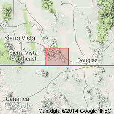
Named from conspicuous exposures on Escabrosa Ridge, Mule Mountains, in T. 23 S., R. 23 and 24 E., Bisbee quadrangle, Cochise Co., southeastern AZ.
Source: US geologic names lexicon (USGS Bull. 896, p. 697-698); supplemental information from GNU records (USGS DDS-6; Denver GNULEX).
- Usage in publication:
-
- Escabrosa limestone*
- Modifications:
-
- Areal extent
- AAPG geologic province:
-
- Pedregosa basin
Summary:
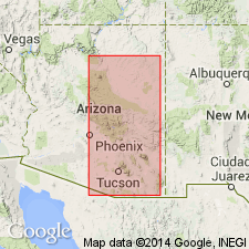
Extended to Tombstone area, AZ in the Pedregosa basin. About 500 ft thick. Overlies Martin limestone and is overlain by Naco limestone. Is of Mississippian age.
Source: GNU records (USGS DDS-6; Denver GNULEX).
- Usage in publication:
-
- Escabrosa limestone*
- Modifications:
-
- Areal extent
- AAPG geologic province:
-
- Pedregosa basin
- Basin-and-Range province
Summary:
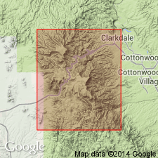
Found in most of the mountains of southeastern AZ, as far west as the Vekol Range and north through the Santa Catalina and Turnbull mountains in the Pedregosa basin and Basin-and-Range province. Is of Early Mississippian age.
Source: GNU records (USGS DDS-6; Denver GNULEX).
- Usage in publication:
-
- Escabrosa limestone
- Modifications:
-
- Areal extent
- AAPG geologic province:
-
- Basin-and-Range province
- Pedregosa basin
Summary:
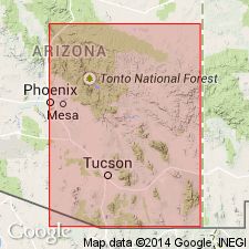
Extended to Ray-Globe area, AZ to replace part of Tornado limestone of Ransome (1917). Used for the entire Lower Mississippian in the area southeast of Mazatzal and in the Basin-and-Range province and Pedregosa basin. Is of Early Mississippian age.
Source: GNU records (USGS DDS-6; Denver GNULEX).
- Usage in publication:
-
- Escabrosa limestone*
- Modifications:
-
- Areal extent
- AAPG geologic province:
-
- Pedregosa basin
Summary:
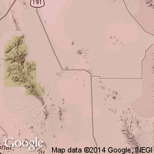
Accepted by USGS in Little Dragoon Mountains, Cochise Co, AZ in the Pedregosa basin. Overlies Martin limestone (Devonian) and overlain by unnamed limestone of Mississippian? age. Assigned a Mississippian age.
Source: GNU records (USGS DDS-6; Denver GNULEX).
- Usage in publication:
-
- Escabrosa limestone*
- Modifications:
-
- Areal extent
- Adopted
- AAPG geologic province:
-
- Basin-and-Range province
Summary:
Escabrosa limestone. Adopted by the USGS for use in Globe-Miami district, Arizona. Thickness 365 feet. Overlies Martin limestone (Devonian) and disconformably underlies Naco limestone (Pennsylvanian). Age is Mississippian.
Source: Modified from GNU records (USGS DDS-6; Denver GNULEX).
- Usage in publication:
-
- Escabrosa limestone
- Modifications:
-
- Areal extent
- AAPG geologic province:
-
- Basin-and-Range province
Summary:
Recognized in Sierrita Mountains, AZ in the Basin-and-Range province. Overlies Martin limestone (Devonian) and overlain by Naco limestone (Pennsylvanian). Is apparently 350 feet thick at Mineral Hill and 375 feet thick at Twin Buttes. Is of Early Mississippian age.
Source: GNU records (USGS DDS-6; Denver GNULEX).
- Usage in publication:
-
- Escabrosa limestone
- Modifications:
-
- Areal extent
- AAPG geologic province:
-
- Basin-and-Range province
Summary:
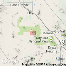
Recognized in Silver Bell Mountains, AZ in the Basin-and-Range province. Overlies Martin limestone (Devonian). Overlain by Naco limestone (Pennsylvanian). Is 275 ft thick. Is of Mississippian age.
Source: GNU records (USGS DDS-6; Denver GNULEX).
- Usage in publication:
-
- Escabrosa limestone*
- Modifications:
-
- Areal extent
- AAPG geologic province:
-
- Pedregosa basin
Summary:
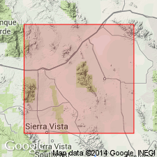
Pg. 2-13. Escabrosa limestone. Crops ont in northwestem Mule Mountains, Tombstone Hills, in many fault blocks in southeastern end of Dragoon Mountains, and along main ridge of Dragoon Mountains and in parts of Little Dragoon Mountains, Gunnison Hills, and Johnny Lyon Hills, Cochise County, southeastern Arizona. Overlies Martin limestone or Abrigo limestone; underlies Horquilla limestone (new), or Black Prince limestone. Thickness 585 to 755 feet. Fossiliferous (brachiopods, corals, gastropods, pelecypods, crinoids, trilobites). Age is Early Mississippian. Report includes measured sections, fossil lists.
Source: US geologic names lexicon (USGS Bull. 1200, p. 1279); supplemental information from GNU records (USGS DDS-6; Denver GNULEX).
- Usage in publication:
-
- Escabrosa limestone*
- Modifications:
-
- Areal extent
- AAPG geologic province:
-
- Basin-and-Range province
Summary:
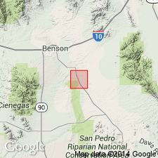
Accepted in Santa Rita Mountains, Pima Co., AZ in Basin-and-Range province. Basal contact faulted. Overlain by Naco limestone (restricted). Is of Mississippian age.
Source: GNU records (USGS DDS-6; Denver GNULEX).
- Usage in publication:
-
- Escabrosa limestone*
- Modifications:
-
- Areal extent
- AAPG geologic province:
-
- Pedregosa basin
Summary:
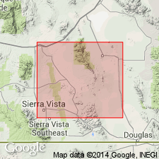
Escabrosa limestone. Overlies Martin limestone and underlies Horquilla limestone. Fossils identified (brachiopods, corals, gastropods, pelecypods, bryozoans, and trilobites). Report includes geologic map.
Measured sections: in Tombstone Hills, Cochise Co., AZ, 786 feet; in Dragoon Mountains, Cochise Co., AZ, 729 feet.
Source: Modified from GNU records (USGS DDS-6; Denver GNULEX).
- Usage in publication:
-
- Escabrosa limestone
- Modifications:
-
- Areal extent
- AAPG geologic province:
-
- Pedregosa basin
Summary:
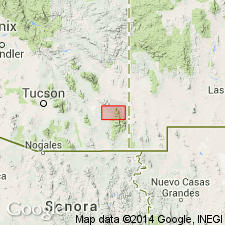
Pg. 476 (fig. 6), 480-481. Escabrosa limestone. Described in Chiricahua and Dos Cabezas Mountains where it consists of cherty crinoidal limestone 630 to 730 feet thick. Overlies Upper Devonian Portal formation (new); underlies Upper Mississippian Paradise formation.
Source: US geologic names lexicon (USGS Bull. 1200, p. 1279).
- Usage in publication:
-
- Escabrosa limestone
- Modifications:
-
- Areal extent
- AAPG geologic province:
-
- Pedregosa basin
Summary:
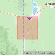
Extended to central Peloncillo Mountains, NM in the Pedregosa basin. Section measured in SE1/4 SE1/4 sec 22, T25S, R21W. Geologic map included. Overlies Percha shale (Devonian and possibly Early Mississippian) and overlain by Paradise formation (Late Mississippian). Fossils are abundant in Escabrosa. Corals, brachiopods, bryozoans and one cephalopod collected. Most were undiagnostic, but a Mississippian TRIBOLOCERAS and a LITHOSTROTION of probable late middle or late Late Mississippian age identified.
Source: GNU records (USGS DDS-6; Denver GNULEX).
- Usage in publication:
-
- Escabrosa limestone*
- Modifications:
-
- Age modified
- AAPG geologic province:
-
- Pedregosa basin
- Basin-and-Range province
Summary:
Accepted by USGS as Lower and Middle Mississippian in southern AZ in the Pedregosa basin and Basin-and-Range province.
Source: GNU records (USGS DDS-6; Denver GNULEX).
- Usage in publication:
-
- Escabrosa limestone*
- Modifications:
-
- Areal extent
- AAPG geologic province:
-
- Basin-and-Range province
Summary:
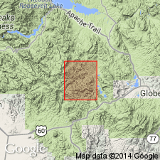
Extended into the Haunted Canyon quad, Pinal and Gila Cos, AZ in the Basin-and-Range province. Overlies Martin limestone (Devonian) and overlain by Naco limestone (Pennsylvanian). Is about 300 ft thick. Is of Mississippian age.
Source: GNU records (USGS DDS-6; Denver GNULEX).
- Usage in publication:
-
- Escabrosa Limestone
- Modifications:
-
- Areal extent
- AAPG geologic province:
-
- Basin-and-Range province
Summary:
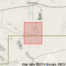
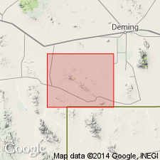
Extended eastward to Tres Hermanos Mountains, Luna Co, NM in the Basin-and-Range province. More than 360 ft thick. Base not exposed. Overlain by Paradise? Formation (Mississippian). Called Escabrosa Limestone on map explanation and Escabrosa Group (containing Hachita Formation--first published use. Intent to name and type locality not stated) on columnar section. Is of Mississippian age.
Source: GNU records (USGS DDS-6; Denver GNULEX).
- Usage in publication:
-
- Escabrosa Limestone*
- Modifications:
-
- Areal extent
- AAPG geologic province:
-
- Basin-and-Range province
Summary:
Extended to Cedar Mountains, NM in the Basin-and-Range province. Overlies Montoya Limestone (Ordovician) and overlain by Paradise Formation of Stoyanow, 1926 (Mississippian). Is of Mississippian age.
Source: GNU records (USGS DDS-6; Denver GNULEX).
- Usage in publication:
-
- Escabrosa Group
- Modifications:
-
- Revised
- Biostratigraphic dating
- AAPG geologic province:
-
- Pedregosa basin
- Basin-and-Range province
Summary:
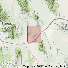
Escabrosa Group. In Cochise County, southeastern Arizona, and southwestern New Mexico, rank raised to group. Divided into (ascending) Keating and Hachita formations (both new). Thickness 650 to 1,000 feet. Deposited over slowly sinking shelf area in shallow normal-marine waters. Age is Early and Late Mississippian, based on fossils (corals, foraminifers, blastoids, and brachiopods).
Source: Modified from GNU records (USGS DDS-6; Denver GNULEX).
- Usage in publication:
-
- Escabrosa limestone*
- Modifications:
-
- Areal extent
- AAPG geologic province:
-
- Pedregosa basin
Summary:
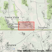
Escabrosa limestone. Overlies Martin formation and underlies Black Prince limestone. Correlation with Tornado and Redwall limestones discussed. Fossils (corals, brachiopods). Age is Early Mississippian.
Measured section: in NE/4 SW/4 sec. 4, T. 16 S., R. 23 E., 755 ft.
Source: Modified from GNU records (USGS DDS-6; Denver GNULEX).
- Usage in publication:
-
- Escabrosa Limestone*
- Modifications:
-
- Age modified
- AAPG geologic province:
-
- Pedregosa basin
Summary:
Age shown as Early and Late? Mississippian in Mule Mountains, Cochise Co, AZ in Pedregosa basin. Reason for questioning age not stated.
Source: GNU records (USGS DDS-6; Denver GNULEX).
- Usage in publication:
-
- Escabrosa Limestone*
- Modifications:
-
- Areal extent
- AAPG geologic province:
-
- Basin-and-Range province
Summary:
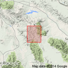
Pg. 26-31, pl. (geol. map). Escabrosa Limestone. Present in northeast and southwest corners of Klondyke quadrangle, Graham and Pinal Counties, southeastern Arizona. Light- to medium-gray, thin- to thick-bedded, fine- to medium-grained limestone, coarse-grained crinoidal limestone, and oolitic limestone; includes some dolomite beds in lower and middle parts. Measured thicknesses about 150 to 500 feet. Disconformably overlies Martin Formation; disconformably underlies Horquilla Limestone and unconformably underlies Pinkard Formation, Horse Mountain Volcanics, Galiuro Volcanics, and older alluvium. In Copper Creek basin, intruded by Copper Creek Granodiorite. Collections from the lower and upper parts of formation yielded fossil assemblages (corals, brachiopods, gastropods, trilobites, fish) of Early to early Late Mississippian age, thus, as mapped, may include beds equivalent to parts of Paradise and Black Prince formations. Report includes measured sections, geologic map, fossil lists.
Source: Publication.
- Usage in publication:
-
- Escabrosa Limestone*
- Modifications:
-
- Principal reference
- Dominant lithology:
-
- Limestone
- AAPG geologic province:
-
- Pedregosa basin
Summary:
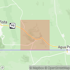
Pg. F20-25, F32, pl. 1; see also USGS Misc. Geol.. Escabrosa Limestone. Consists of: lower member, chiefly thick-bedded to massive, medium- to light-gray, crinoidal limestone, 600 to 650 feet thick; and upper member, chiefly thin-bedded medium-gray crinoidal limestone, present only in western part of mountains. Disconformably(?) overlies Martin Limestone; disconformably underlies Horquilla Limestone. Fossiliferous (crinoidal debris, rugose and colonial corals, brachiopods, bryozoans). Age is considered Early and Late Mississippian. Report includes measured sections, faunal lists.
Principal reference section: on east-facing slope of hill north of Little Dry Canyon, near west edge of Mule Mountains; base of section in NW/4 NE/4 sec. 9, and top in SW/4 SE/4 sec. 4, T. 23 S., R. 23 E., Cochise Co., AZ. Section measured by Ransome (1904) "just west of Black Gap" is regarded as type section.
Source: Publication; supplemental information from GNU records (USGS DDS-6; Denver GNULEX).
- Usage in publication:
-
- Escabrosa Limestone
- Modifications:
-
- Revised
- Areal extent
- AAPG geologic province:
-
- Pedregosa basin
Summary:
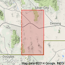
Recognized in Big Hatchet and Animas Mountains, NM and Sierra Rica, NM in the Pedregosa basin. Proposed elevation to group status as proposed by Armstrong (1962) is rejected, as the proposed formations are not mappable units. Measured section in Mescal Canyon 1,261 ft thick described as divisible into a lower, middle, and upper member. Is of Mississippian (Kinderhook?, Osage and Meramecian) age. Fossils found throughout. Types identified include brachiopods, solitary corals, crinoids, trilobites, bryozoans, cephalopods, and fish teeth.
Source: GNU records (USGS DDS-6; Denver GNULEX).
- Usage in publication:
-
- Escabrosa Limestone*
- Modifications:
-
- Areal extent
- AAPG geologic province:
-
- Basin-and-Range province
- Pedregosa basin
Summary:
Escabrosa Limestone. Age is Early Mississippian.
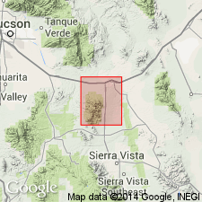
Measured sections: in S/2 sec. 1, T. 18 S., R. 18 E., Pima Co., AZ, 557 ft; and in SE/4 sec. 14, T. 19 S., R. 19 E., Cochise Co., AZ, 627 ft.
Source: GNU records (USGS DDS-6; Denver GNULEX).
- Usage in publication:
-
- Escabrosa Limestone*
- Modifications:
-
- Areal extent
- AAPG geologic province:
-
- Pedregosa basin
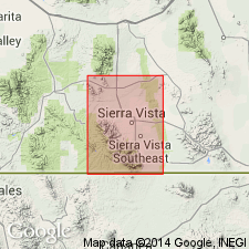
Summary:
Extended to Huachuca Mountains, Cochise Co, AZ in the Pedregosa basin. Is probably more than 500 ft thick. Is of Mississippian age.
Source: GNU records (USGS DDS-6; Denver GNULEX).
- Usage in publication:
-
- Escabrosa Group*
- Modifications:
-
- Areal extent
- AAPG geologic province:
-
- Pedregosa basin
Summary:
Escabrosa Group. In Klondike Hills, Grant and Luna Counties, New Mexico, includes (ascending) Keating and Hatchita formations. Disconformably overlies Percha Shale; underlies Paradise Formation with gradational contact. Fossiliferous (corals, brachiopods). Age is Early (Kinderhook-Osage) and Late (Meramec) Mississippian, based on previous work.
Source: Modified from GNU records (USGS DDS-6; Denver GNULEX).
- Usage in publication:
-
- Escabrosa Limestone*
- Modifications:
-
- Areal extent
- Overview
- AAPG geologic province:
-
- Basin-and-Range province
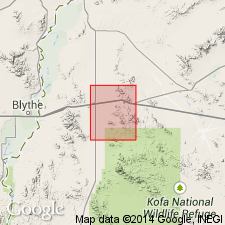
Summary:
Extended to Plomosa Mountains, Yuma Co, AZ in Basin-and-Range province. Overlies Martin? Formation (Devonian). Disconformably overlain by Supai Formation (Permian). About 415 ft thick. Coral fossils common to Escabrosa and Redwall Limestones found in unit. Is of Mississippian age.
Source: GNU records (USGS DDS-6; Denver GNULEX).
- Usage in publication:
-
- Escabrosa Limestone
- Modifications:
-
- Biostratigraphic dating
- AAPG geologic province:
-
- Pedregosa basin
- Basin-and-Range province
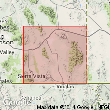
Summary:
Based on conodont zonation, the Escabrosa Limestone of southeastern AZ in the Pedregosa basin and Basin-and-Range province ranges in age from late Kinderhookian to late Meramecian. The boundaries are represented by unconformities. The zonation suggests relatively rapid transgression of Mississippian seas across a shelf of low relief.
Source: GNU records (USGS DDS-6; Denver GNULEX).
- Usage in publication:
-
- Escabrosa Group
- Modifications:
-
- Overview
- AAPG geologic province:
-
- Pedregosa basin
Summary:
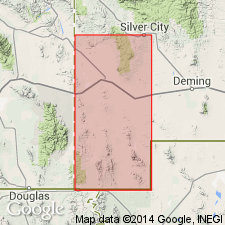
Mapped as one undivided unit in the Animas Mountains, NM in the Pedregosa basin, [but Armstrong's (1962) division of the group into Keating and Hachita Formations probably holds for the area.] Is of Mississippian age.
Source: GNU records (USGS DDS-6; Denver GNULEX).
- Usage in publication:
-
- Escabrosa Group*
- Modifications:
-
- Areal extent
- AAPG geologic province:
-
- Pedregosa basin
Summary:
Escabrosa Group. Mapped in central Peloncillo Mountains, Hidalgo County, New Mexico. Includes Keating Formation at base and Hachita Formation at top. Disconformably overlies Box Member of Percha Shale (Late Devonian) and underlies Paradise Formation (Late Mississippian). Age is Early and Late Mississippian [apparently on basis of previous work].
Source: Modified from GNU records (USGS DDS-6; Denver GNULEX).
- Usage in publication:
-
- Escabrosa Group*
- Modifications:
-
- Areal extent
- Biostratigraphic dating
- AAPG geologic province:
-
- Pedregosa basin
Summary:
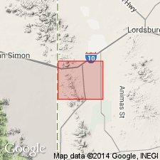
Areally extended to Pedregosa Mountains, AZ in the Pedregosa basin. Consists of Keating and Hachita Formations. Assigned to Mamet's microfossil Zones 7-9 (Tournaisian) and 10-15 (Visean). Osagean conodonts noted near base of Hachita. Considered to be both Tournaisian (Early Mississippian) and Visean (Late Mississippian) in age. Placement of Kinderhookian-Osagean boundary uncertain; questionably placed within Mamet's microfossil Zone 7. Is of Mississippian (Osagean and Meramecian) age.
Source: GNU records (USGS DDS-6; Denver GNULEX).
- Usage in publication:
-
- Escabrosa Limestone*
- Modifications:
-
- Overview
- AAPG geologic province:
-
- Pedregosa basin
Summary:
Accepted by USGS in central Peloncillo Mountains, NM in the Pedregosa basin. [In same outcrops mapped by Armstrong and others, 1978] is shown as a formation locally divisible into two members. The lower member is possibly correlative with their Keating Formation, and the upper member is possibly correlative with their Hachita Formation. [Armstrong and others placed Keating and Hachita in Escabrosa Group.] Is of Mississippian age.
Source: GNU records (USGS DDS-6; Denver GNULEX).
- Usage in publication:
-
- Escabrosa Limestone*
- Modifications:
-
- Age modified
- AAPG geologic province:
-
- Pedregosa basin
Summary:
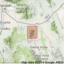
Age of Escabrosa in Whetstone Mountains, Cochise and Pima Cos, AZ in Pedregosa basin shown as Early and Late? Mississippian. Reason for questioning Late Mississippian age not stated. Is 712 ft thick. Overlies Martin Formation (Devonian) and overlain by Black Prince Limestone (Pennsylvanian).
Source: GNU records (USGS DDS-6; Denver GNULEX).
- Usage in publication:
-
- Escabrosa Limestone*
- Modifications:
-
- Mapped 1:24k
- Dominant lithology:
-
- Limestone
- Marble
- AAPG geologic province:
-
- Pedregosa basin
Summary:
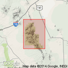
Escabrosa Limestone. Very light-gray, coarse-grained, medium-bedded to massive, coarsely cherty, crinoidal limestone or marble. Thickness about 100 to 150 m. Age is Mississippian.
Source: Publication.
- Usage in publication:
-
- Escabrosa Limestone*
- Modifications:
-
- Mapped 1:24k
- Dominant lithology:
-
- Limestone
- AAPG geologic province:
-
- Pedregosa basin
Summary:
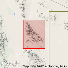
Escabrosa Limestone. Mapped in Big Hatchet Mountains, Hidalgo County, southwestern New Mexico. Massive, light- to dark-gray, coarse-grained limestone. Thickness about 1,261 feet (385 m). Includes Hachita and Keating Members (both locally revised; Zeller, 1965) at a few localities. Conformably underlies Paradise Formation (Upper Mississippian). Overlies Percha Shale (Upper Devonian). Fossiliferous. Age is Early and Late Mississippian.
Because the subdivisions of this unit are not practical map units, except very locally, the Escabrosa is herein kept at formation rank, rather than raised to group (Armstrong and Mamet, 1978).
Source: Publication.
For more information, please contact Nancy Stamm, Geologic Names Committee Secretary.
Asterisk (*) indicates published by U.S. Geological Survey authors.
"No current usage" (†) implies that a name has been abandoned or has fallen into disuse. Former usage and, if known, replacement name given in parentheses ( ).
Slash (/) indicates name conflicts with nomenclatural guidelines (CSN, 1933; ACSN, 1961, 1970; NACSN, 1983, 2005, 2021). May be explained within brackets ([ ]).

