- Usage in publication:
-
- Bisbee beds
- Modifications:
-
- Original reference
- AAPG geologic province:
-
- Pedregosa basin
Summary:
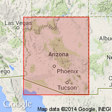
Pg. 696-715. Bisbee beds. Consist of (descending): (1) interbedded sands and clays; (2) interbedded limestones, clays, and sands, with oysters at base and CAPROTINA and other fossils at top; (3) limestones and clays containing TRIGONIA, EXOGYRA, and other fossils; and (4) interbedded sands and clays with conglomerate at base. Thickness 3,000+ feet. Age is Cretaceous.
Exposed at Bisbee, Arizona (whence the name) and in Rucker Canyon.
Source: US geologic names lexicon (USGS Bull. 896, p. 193); supplemental information from GNU records (USGS DDS-6; Denver GNULEX).
- Usage in publication:
-
- Bisbee group*
- Modifications:
-
- Revised
- AAPG geologic province:
-
- Pedregosa basin
Summary:
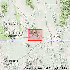
Pg. 56. Bisbee group. Same unit as Dumble's (1902) Bisbee beds, but in Bisbee quadrangle, southeastern Arizona, is here divided into 4 formations (descending), Cintura formation, Mural limestone, Morita formation, and Glance conglomerate (all new). Thickness probably 4,750 feet in Mule Mountains. Age is Early Cretacoues (Comanchean).
Source: US geologic names lexicon (USGS Bull. 896, p. 193).
- Usage in publication:
-
- Bisbee group
- Modifications:
-
- Revised
- AAPG geologic province:
-
- Pedregosa basin
Summary:
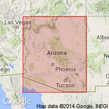
Pg. 296, 297 (table). Bisbee group. Includes (ascending) Morita shale, Mural limestone, and Hay Flat limestone (new). Age is Early Cretaceous.
Source: US geologic names lexicon (USGS Bull. 1200, p. 350-351).
- Usage in publication:
-
- Bisbee group*
- Modifications:
-
- Areal extent
- AAPG geologic province:
-
- Pedregosa basin
Summary:
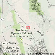
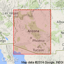
Pg. 18-26. Bisbee group. Extended into Tombstone area, Cochise County, Arizona. Thickness 3,115+ feet. Sandstone and shale of Bisbee group intruded by Uncle Sam porphyry and Schieffelin granodiorite (both new). Overlies Naco limestone. Age is Early Cretaceous (Comanche). Report includes measured section, geologic map.
Inasmuch as the several formations represented at Bisbee in the Bisbee group have not been discriminated at Tombstone, the USGS classifies these rocks in the Tombstone Hills as Bisbee group.
Source: Publication; US geologic names lexicon (USGS Bull. 1200, p. 350-351).
- Usage in publication:
-
- Bisbee group
- Modifications:
-
- Areal extent
- AAPG geologic province:
-
- Pedregosa basin
Summary:
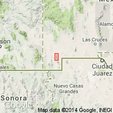
Extended to Tombstone area in the Pedregosa basin, Cochise Co, AZ. Not subdivided into formations. Described as more than 3,115 feet thick. Is of Early Cretaceous age.
Source: GNU records (USGS DDS-6; Denver GNULEX).
- Usage in publication:
-
- Bisbee group*
- Modifications:
-
- Revised
- Areal extent
- AAPG geologic province:
-
- Pedregosa basin
- Basin-and-Range province
Summary:
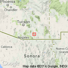
Pg. 527-540; USGS Prof. Paper 208, p. 13 (table), 16-26, pl. 1, 1947. Bisbee group. Extended into Little Hatchet Mountains, Grant and Hidalgo Counties, New Mexico, where it is subdivided into (ascending): Broken Jug limestone, Ringbone shale, Hidalgo volcanics, Howells Ridge formation, Corbett sandstone, Playas Peak formation, and Skunk Ranch conglomerate (all new). Thickness 15,300 to 21,000 feet. Lower contact hidden beneath valley fill; upper contact covered by Miocene(?) volcanic rocks. Age is Early Cretaceous (Trinity). Report includes geologic map.
Source: US geologic names lexicon (USGS Bull. 1200, p. 350-351); supplemental information from GNU records (USGS DDS-6; Denver GNULEX).
- Usage in publication:
-
- Bisbee formation*
- Modifications:
-
- Revised
- AAPG geologic province:
-
- Pedregosa basin
Summary:
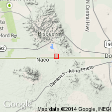
Unconformably overlies Naco limestone (Pennsylvanian), and unconformably overlain by the newly named Bronco volcanics (Cretaceous or early Tertiary) in the Tombstone area, Cochise Co, AZ in Pedregosa basin. [The same rocks put in undivided Bisbee group by Butler and others, 1938.] Geologic map. Is of Early Cretaceous age.
Source: GNU records (USGS DDS-6; Denver GNULEX).
- Usage in publication:
-
- Bisbee group
- Modifications:
-
- Revised
- Biostratigraphic dating
- AAPG geologic province:
-
- Pedregosa basin
Summary:
Pg. 8-12, 36 (table 6). Bisbee group. Sequence in group is (ascending) Glance conglomerate, Morita formation, Lowell formation (new), Mural limestone, and Cintura formation. Age is Early Cretaceous (Aptian and Albian).
[Occurs in the Ninety One Hills area, local name for hills in secs. 14 and 23, T. 24 S., R. 24 E., immediately north of International border in vicinity of International Monument No. 91, southeast of Bisbee Junction on Southern Pacific RR, Bisbee 15-min quadrangle, Cochise Co., southeastern AZ. Area includes type locality and standard section of Lowell Formation.]
Source: Publication; US geologic names lexicon (USGS Bull. 1200, p. 350-351).
- Usage in publication:
-
- Bisbee group*
- Bisbee formation*
- Modifications:
-
- Areal extent
- AAPG geologic province:
-
- Pedregosa basin
Summary:
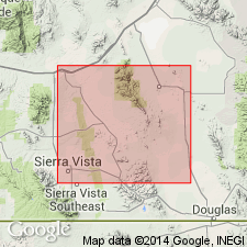
Pg. 70-79. Bisbee group and Bisbee formation. Consists chiefly of mudstone and sandstone or quartzite, with a few thin beds of limestone; base is generally a limestone conglomerate. In central Cochise County, southeastern Arizona, group (Mule Mountains) includes (ascending) Glance conglomerate, Morita formation, Mural limestone, and Cintura formation. Where units are not differentiated (Tombstone Hills and Dragoon Mountains), Bisbee is mapped as formation; about 3,600 feet thick. Unconformably overlies Paleozoic Naco group; unconformably underlies younger deposits. Age is Early Cretaceous (Comanchean). Report includes geologic map.
Source: US geologic names lexicon (USGS Bull. 1200, p. 350-351); supplemental information from GNU records (USGS DDS-6; Denver GNULEX).
- Usage in publication:
-
- Bisbee group
- Modifications:
-
- Areal extent
- AAPG geologic province:
-
- Pedregosa basin
Summary:
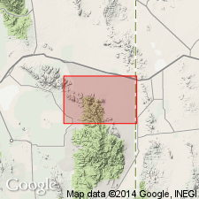
Pg. 1323, 1324 (table 1), 1325, pl. 1. Bisbee group. In Cochise Head and western part of Vanar quadrangle, Arizona, group is about 2,600 feet thick and includes Glance conglomerate at base and undifferentiated rocks above. Unconformably overlies older rocks; underlies Nipper formation (new). Where Nipper formation is absent underlies Faraway Ranch formation. Sparsely fossiliferous. Age is Early Cretaceous.
Measured section: in W/2 sec. 19, T. 15 S., R. 30 E., 2,550+ ft.
Source: US geologic names lexicon (USGS Bull. 1200, p. 350-351).
- Usage in publication:
-
- Bisbee group
- Modifications:
-
- Revised
- Areal extent
- AAPG geologic province:
-
- Pedregosa basin
Summary:
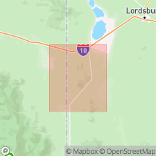
Pg. 11 (table 2), 43-53, pl. 1. Bisbee group. In Peloncillo Mountains, Hidalgo County, New Mexico, and Cochise County, Arizona, divided into (ascending) McGhee Peak formation, Carbonate Hill limestone, Still Ridge formation, and Johnny Bull sandstone (all new). Formations have not been correlated with Ransome's or Stoyanow's formations in southeastern Arizona, nor with Lasky's formations in Little Hatchet Mountains. Overlies Naco group which here includes Chiricahua limestone at top; underlies Upper Cretaceous volcanic sequence. Age is Early Cretaceous. Report includes geologic map.
Source: US geologic names lexicon (USGS Bull. 1200, p. 350-351); supplemental information from GNU records (USGS DDS-6; Denver GNULEX).
- Usage in publication:
-
- Bisbee formation*
- Modifications:
-
- Areal extent
- AAPG geologic province:
-
- Pedregosa basin
Summary:
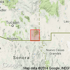
Used in Chiricahua, Swisshelm, Pedregosa, Perilla, and southern Peloncillo Mountains of Cochise Co, AZ in the Pedregosa basin. Is of Early Cretaceous age.
Source: GNU records (USGS DDS-6; Denver GNULEX).
- Usage in publication:
-
- Bisbee Group*
- Modifications:
-
- Revised
- Areal extent
- AAPG geologic province:
-
- Pedregosa basin
Summary:
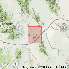
Extended to Steele Hills, Pedregosa basin, Cochise Co, AZ. In Steele Hills and Little Dragoon Mountains the group consists of Glance Conglomerate at base, overlain by the undivided Morita and Cintura Formations. Geologic map. [These authors would have done well to have followed the example of Gilluly (1956) and used Bisbee as a formation with a conglomerate member at base.] Is of Early Cretaceous age.
Source: GNU records (USGS DDS-6; Denver GNULEX).
- Usage in publication:
-
- Bisbee Group*
- Modifications:
-
- Revised
- Areal extent
- AAPG geologic province:
-
- Pedregosa basin
Summary:
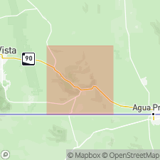
Bisbee Group. Extended into Huachuca Mountains. Includes (ascending) Glance Conglomerate, Morita Formation, Mural Limestone, and Cintura Formation. Overlies all older rocks with pronounced unconformity; locally overlies Canelo Hills Volcanics (Triassic and Jurassic). Age is Early Cretaceous, based on fossils mainly from Mural Limestone and stratigraphically adjacent rocks (Stanton IN Ransome, 1904; Stoyanow, 1949).
Source: Modified from GNU records (USGS DDS-6; Denver GNULEX).
- Usage in publication:
-
- Bisbee Group*
- Modifications:
-
- Areal extent
- AAPG geologic province:
-
- Pedregosa basin
Summary:
Pg. M2. Bisbee Group. Extended into Huachuca Mountains, southeastern Arizona, where it locally and unconformably overlies the newly named Canelo Hills Volcanics (Triassic and Jurassic). In places, the basal conglomerate (Glance conglomerate and equivalents) of the Bisbee contains volcanic fragments belonging to the Canelo Hills. Age is Early Cretaceous.
Source: Publication.
- Usage in publication:
-
- Bisbee Formation(?)*
- Modifications:
-
- Areal extent
- AAPG geologic province:
-
- Pedregosa basin
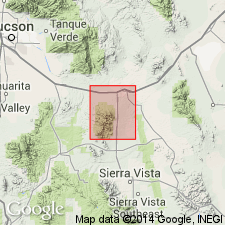
Summary:
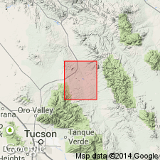
Bisbee(?) Formation. Extended with uncertainty as a formation into Whetstone Mountains, Cochise and Pima Counties, Arizona. Partial thickness 7,271 feet. Rests unconformably on Permian strata. Unconformably underlies Gila Conglomerate (Tertiary and Quaternary). Age is Early Cretaceous.
Source: Modified from GNU records (USGS DDS-6; Denver GNULEX).
- Usage in publication:
-
- Bisbee Formation(?)*
- Modifications:
-
- Areal extent
- AAPG geologic province:
-
- Pedregosa basin
- Basin-and-Range province
Summary:
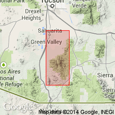
Extended with uncertainty as a formation to Whetstone Mountains of Cochise (Pedregosa basin) and Pima (Basin-and-Range province) Cos, AZ. Rests unconformably on Permian strata. Unconformably overlain by Gila Conglomerate (Tertiary and Quaternary). Partial thickness measured as 7,271 ft in secs 2, 10, 11, and 15, T19S, R18E and secs 25, 35, and 36, T18S, R18E. Is of Early Cretaceous age.
Source: GNU records (USGS DDS-6; Denver GNULEX).
- Usage in publication:
-
- Bisbee Formation*
- Modifications:
-
- Revised
- Areal extent
- AAPG geologic province:
-
- Basin-and-Range province
- Pedregosa basin
Summary:
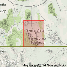
Bisbee Formation. Extended into Santa Rita Mountains, Santa Cruz and southern Pima Counties, Arizona. Upper part of Bisbee previously called Fort Buchanan Formation of Sonoita Group by Stoyanow (1949). Author recommends Fort Buchanan and Sonoita be "dropped" from stratigraphic nomenclature. Age is Early Cretaceous.
Source: Modified from GNU records (USGS DDS-6; Denver GNULEX).
- Usage in publication:
-
- Bisbee Group*
- Modifications:
-
- Revised
- AAPG geologic province:
-
- Pedregosa basin
Summary:
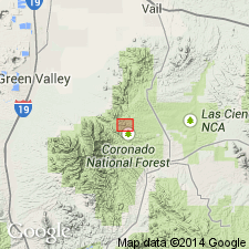
Subdivided in Huachuca Mountains, Cochise Co, AZ in the Pedregosa basin into (ascending): Glance Conglomerate, Morita Formation, Mural Limestone, and Cintura Formation. Is of Early Cretaceous age.
Source: GNU records (USGS DDS-6; Denver GNULEX).
- Usage in publication:
-
- Bisbee Group*
- Modifications:
-
- Revised
- AAPG geologic province:
-
- Basin-and-Range province
Summary:
Bisbee Group. Elevated to group rank in Santa Rita Mountains, Pima County, Arizona. Only the lower three formations are recognized (in ascending order) Glance Conglomerate (sparse exposure), Willow Canyon Formation, and Apache Canyon Formation. Age is Early Cretaceous.
Source: Modified from GNU records (USGS DDS-6; Denver GNULEX).
- Usage in publication:
-
- Bisbee Group*
- Modifications:
-
- Revised
- Areal extent
- AAPG geologic province:
-
- Pedregosa basin
- Basin-and-Range province
Summary:
Bisbee Group. Includes (ascending) Glance Conglomerate, Willow Canyon Formation, Apache Canyon Formation, Shellenberger Canyon Formation, and Turney Ranch Formation; no equivalent of the Morita Limestone recognized. Unconformably overlies rocks of probable Triassic age, and unconformably underlies rocks similar to those of known Late Cretaceous age. Age is Early Cretaceous.
Source: Modified from GNU records (USGS DDS-6; Denver GNULEX).
- Usage in publication:
-
- Bisbee Group*
- Modifications:
-
- Not used
- AAPG geologic province:
-
- Pedregosa basin
- Basin-and-Range province
Summary:
Bisbee Group subdivided (ascending) into Glance Conglomerate, Morita Formation, Mural Limestone, and Cintura Formation; recognized in Mule and Huachuca Mountains of Pedregosa basin. Bisbee Group (undivided) recognized in Pedregosa, Chiricahua, and Dos Cabezas Mountains of Pedregosa basin. Bisbee Group divided into Glance Conglomerate, and undivided Morita and Cintura Formations; recognized in Little Dragoon Mountains and nearby areas of Pedregosa basin. Bisbee Group divided into McGhee Peak Formation of Gillerman (1958), Carbonate Hill Limestone of Gillerman, and Still Ridge Formation of Gillerman; recognized in central Peloncillo Mountains of Pedregosa basin. Bisbee Group divided into Glance Conglomerate, Willow Canyon Formation, Apache Canyon Formation, Shellenberger Canyon Formation, and Turney Ranch Formation; recognized in Santa Rita, Empire, and Whetstone Mountains of Basin-and-Range province. Called Bisbee Formation in Dragoon Mountains and Tombstone area of Pedregosa basin and in the Patagonia Mountains of the Basin-and-Range province, where it replaces Molly Gibson Formation of Stoyanow (1949). Term Bisbee Group not used locally in Little Hatchet Mountains of Pedregosa basin and Basin-and-Range province. Rocks assignable to Bisbee have not been recognized north of Steele Hills, Cochise Co, AZ in Basin-and-Range province. [See fig. 5 for regional correlations.] Is of Early Cretaceous age.
Source: GNU records (USGS DDS-6; Denver GNULEX).
- Usage in publication:
-
- Bisbee Formation*
- Modifications:
-
- Areal extent
- AAPG geologic province:
-
- Basin-and-Range province
Summary:
Extended as formation to west side of Sierrita Mountains. [Inasmuch as Cooper (1971) used the term Angelica Arkose for a presumed Bisbee equivalent on the east side of the Sierrita Mountains (closer to the type Bisbee), it seems inappropriate to use Bisbee on the west side of the range even if the rocks in question look more like the Bisbee than the rocks designated as Angelica--unless compelling reasons are given for the decision to do so--and they are not on this map.] Formation rather than group used in central Chiricahua Mountains, Pima Co, AZ in the Pedregosa basin. Is of Early Cretaceous age.
Source: GNU records (USGS DDS-6; Denver GNULEX).
- Usage in publication:
-
- Bisbee Formation*
- Modifications:
-
- Revised
- AAPG geologic province:
-
- Pedregosa basin
Summary:
Bisbee Formation. Formation rank applied in central Chiricahua Mountains. Age is Early Cretaceous.
Source: Modified from GNU records (USGS DDS-6; Denver GNULEX).
- Usage in publication:
-
- Bisbee Formation*
- Modifications:
-
- Areal extent
- AAPG geologic province:
-
- Pedregosa basin
Summary:
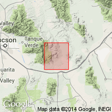
Extended to Rincon Mountains area, Cochise Co, AZ within Pedregosa basin. Glance Conglomerate Member mapped as basal unit of Bisbee. Overlies Walnut Gap Formation (redefined). Is of Early Cretaceous age.
Source: GNU records (USGS DDS-6; Denver GNULEX).
- Usage in publication:
-
- Bisbee Group
- Modifications:
-
- Areal extent
- AAPG geologic province:
-
- Pedregosa basin
Summary:
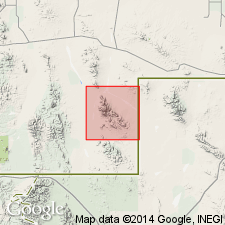
Bisbee Group. Extended into Big Hatchet Mountains area. Includes (ascending): Hell-to-Finish Formation, U-Bar Formation, and Mojado Formation. Unconformably overlies Concha Limestone (Permian) and unconformably underlies Little Hat Top Fanglomerate (Tertiary). Age is Early Cretaceous.
Source: Modified from GNU records (USGS DDS-6; Denver GNULEX).
- Usage in publication:
-
- Bisbee Group
- Modifications:
-
- Revised
- AAPG geologic province:
-
- Pedregosa basin
Summary:
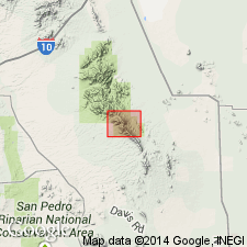
Bisbee used as group in Dragoon Mountains in Pedregosa basin [rather than formation as done by Gilluly (1956)]. Made up (in ascending order) of: sandstone lens, Glance Conglomerate, quartzite, and undivided clastic sediments. Is of Early Cretaceous age.
Source: GNU records (USGS DDS-6; Denver GNULEX).
- Usage in publication:
-
- Bisbee Group*
- Modifications:
-
- Overview
- AAPG geologic province:
-
- Pedregosa basin
Summary:
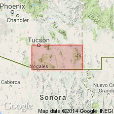
Bisbee Group. Following Gillerman (1958), includes (ascending): McGhee Peak Formation, Carbonate Hill Limestone, Still Ridge Formation, and Johnny Bull Sandstone. Unconformably overlies Naco Group (Pennsylvanian and Lower Permian). Underlies Tertiary or Cretaceous extrusive rocks. Intruded by Tertiary and Tertiary or Cretaceous intrusive rocks. Age is Early Cretaceous (Gillerman, 1958).
Source: Modified from GNU records (USGS DDS-6; Denver GNULEX).
- Usage in publication:
-
- Bisbee Group*
- Modifications:
-
- Revised
- AAPG geologic province:
-
- Pedregosa basin
Summary:
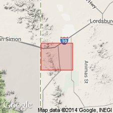
Also designated Bisbee Formation. In the Pedregosa basin, where group rank used, divided into Glance Conglomerate Member, Morita Formation, Mural Limestone, Cintura Formation, and upper part, rather than into formations used by Gillerman (1958)--Glance Conglomerate, McGhee Peak Formation, Carbonate Hill Limestone, Still Ridge Formation, and Johnny Bull Sandstone--and more recently, in same area, by Armstrong and others (1978). [Correlation of the Morita, Mural, and Cintura to this area from the type area of these formations in the Mule Mountains seems tenuous. Acceptance of Gillerman's and Armstrong and others' units (with modifications if necessary) might have been wiser.] Is of Early Cretaceous age.
Source: GNU records (USGS DDS-6; Denver GNULEX).
- Usage in publication:
-
- Bisbee Group*
- Modifications:
-
- Revised
- AAPG geologic province:
-
- Pedregosa basin
Summary:
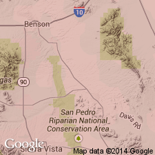
In the central Peloncillo Mountains, NM in Pedregosa basin, divided into Glance Conglomerate, Morita Formation, Mural Limestone, and Cintura Formation rather than into formations used by Gillerman (1958)--Glance Conglomerate, McGhee Peak Formation, Carbonate Hill Limestone, Still Ridge Formation, and Johnny Bull Sandstone--and more recently, in same area, by Armstrong and others (1978). [Correlation of Morita, Mural, and Cintura to this area from the type area of these formations in the Mule Mountains seems tenuous. Acceptance of Gillerman's and Armstrong and others' units (with modifications, if necessary) might have been wiser.] Is of Early Cretaceous age.
Source: GNU records (USGS DDS-6; Denver GNULEX).
- Usage in publication:
-
- Bisbee Group*
- Modifications:
-
- Revised
- AAPG geologic province:
-
- Pedregosa basin
- Basin-and-Range province
Summary:
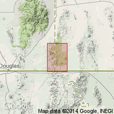
Shown on correlation chart as Bisbee Group and as Bisbee Formation in both Pedregosa basin and Basin-and-Range province (plate 1). Formation elevated to group where mapped in Swisshelm (fig. 8) and Perilla Mountains (fig. 12). Elevated to group in Dragoon Mountains where Glance Conglomerate at base is overlain by undivided Morita and Cintura Formations. [In this latter case it might have been better to have retained usage of Gilluly (1956), i.e., Bisbee Formation with Glance Conglomerate Member rather than use of Bisbee Group as used by Cooper and Silver (1964) in the Little Dragoon Mountains area.] Is of Early Cretaceous age.
Source: GNU records (USGS DDS-6; Denver GNULEX).
- Usage in publication:
-
- Bisbee Group*
- Modifications:
-
- Revised
- AAPG geologic province:
-
- Pedregosa basin
Summary:
Name not used, but three formations of group (Morita Formation, Mural Limestone, and Cintura Formation) separately mapped, thus automatically elevating Bisbee (previously mapped by Cooper (1959) as a formation) to group rank in Hidalgo Co, NM in the Pedregosa basin area. Is of Early Cretaceous age.
Source: GNU records (USGS DDS-6; Denver GNULEX).
- Usage in publication:
-
- Bisbee Group
- Modifications:
-
- Age modified
- AAPG geologic province:
-
- Pedregosa basin
- Basin-and-Range province
Summary:
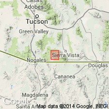
Age of Glance Conglomerate, basal formation of Bisbee Group, changed from Early Cretaceous to Late Jurassic and Early Cretaceous. Age of lower part of Glance is better known than the upper part. Ages of 147 +/-6 Ma (K-Ar on biotite) and 149 +/-11 Ma (Rb/Sr whole rock) determined on volcanic rocks in lower part in Lone Mountain area. Age of 151 +/-2 Ma (Rb/Sr whole rock) for rocks in lower part in northern Canelo Hills. Basal part considered to be about 150 Ma or Late Jurassic. Age of upper part of Glance is uncertain. Invertebrate fauna of Aptian-Albian age found in Mural Limestone in upper part of Bisbee. Upper part of Glance could be as old as Late Jurassic or as young as late Early Cretaceous. Geologic maps. Correlation chart. Bisbee Group shown as ranging from Late Jurassic (c. 150 Ma) into Early Cretaceous (c. 115 Ma).
Source: GNU records (USGS DDS-6; Denver GNULEX).
- Usage in publication:
-
- Bisbee Group*
- Modifications:
-
- Mapped 1:24k
- Dominant lithology:
-
- Siltstone
- Shale
- Mudstone
- AAPG geologic province:
-
- Pedregosa basin
Summary:
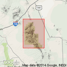
Bisbee Group. Includes (descending) Cintura Formation, Mural Limestone, Morita Formation, and Glance Conglomerate. Most of group above the Glance is medium- to dark-gray siltstone, shale, or mudstone. Beds of sandstone and, at some horizons, conglomerate or limestone make up less than 5 percent of the main part of the group. Deposited mainly in a fluvial and estuarine environment. Age is Early Cretaceous.
Source: Publication.
- Usage in publication:
-
- Bisbee Group*
- Modifications:
-
- Mapped 1:24k
- Dominant lithology:
-
- Siltstone
- Shale
- Sandstone
- Limestone
- Conglomerate
- AAPG geologic province:
-
- Pedregosa basin
Summary:
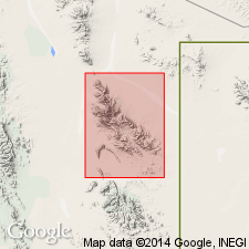
Bisbee Group. In Big Hatchet Mountains, Hidalgo County, southwestern New Mexico, includes (descending) Mojado Formation, U-Bar Formation, Hell-to-Finish Formation (revised), and Glance Conglomerate. Total thickness 9,900 to 10,000 feet (3,050 to 3,100 m). Age is Early Cretaceous.
Source: Publication.
For more information, please contact Nancy Stamm, Geologic Names Committee Secretary.
Asterisk (*) indicates published by U.S. Geological Survey authors.
"No current usage" (†) implies that a name has been abandoned or has fallen into disuse. Former usage and, if known, replacement name given in parentheses ( ).
Slash (/) indicates name conflicts with nomenclatural guidelines (CSN, 1933; ACSN, 1961, 1970; NACSN, 1983, 2005, 2021). May be explained within brackets ([ ]).

