- Usage in publication:
-
- Saddle Creek bed
- Modifications:
-
- Original reference
- Dominant lithology:
-
- Limestone
- AAPG geologic province:
-
- Bend arch
- Llano uplift
Summary:
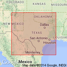
Pg. 387, 416. Saddle Creek bed in Cisco division. Limestone, usually massive, light-gray, 6 to 12 feet thick. Underlies Camp Creek bed and overlies Waldrip bed in Colorado coal field of Texas. Is member of Cisco division. [Age is Pennsylvanian.]
Source: US geologic names lexicon (USGS Bull. 896, p. 1865).
- Usage in publication:
-
- Saddle Creek bed
- Modifications:
-
- Areal extent
- AAPG geologic province:
-
- Bend arch
- Llano uplift
Summary:
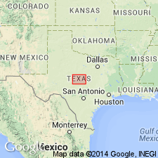
Saddle Creek bed is finely exposed 1 to 2 miles south of mouth of Saddle Creek [McCulloch County, central Texas]. On north side of Colorado River it remains north of the river from north of mouth of Saddle Creek to northwest of Waldrip. [Age is Pennsylvanian.]
Source: US geologic names lexicon (USGS Bull. 896, p. 1865).
- Usage in publication:
-
- Saddle Creek bed
- Modifications:
-
- Areal extent
- AAPG geologic province:
-
- Bend arch
- Llano uplift
Summary:
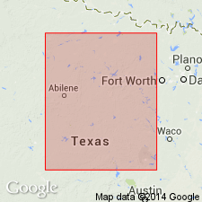
Pg. 136. Saddle Creek of Drake immediately underlies Pueblo formation. [Age is Pennsylvanian.]
Source: US geologic names lexicon (USGS Bull. 896, p. 1865).
- Usage in publication:
-
- Saddle Creek limestone member*
- Modifications:
-
- Revised
- AAPG geologic province:
-
- Bend arch
- Llano uplift
Summary:
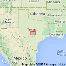
Saddle Creek limestone (=Saddle Creek bed of Drake) is top member of Harpersville formation. [Many details.] [Age is Pennsylvanian.]
Source: US geologic names lexicon (USGS Bull. 896, p. 1865).
- Usage in publication:
-
- Saddle Creek limestone member*
- Modifications:
-
- Areal extent
- AAPG geologic province:
-
- Bend arch
- Llano uplift
Summary:
Pg. 18-42. Saddle Creek limestone (top member of Harpersville formation) consists of 2 or 3 beds 1 to 3 feet thick separated by shale. To north the Saddle Creek bed changes to calcareous sandstone. [Age is Pennsylvanian.]
Source: US geologic names lexicon (USGS Bull. 896, p. 1865).
- Usage in publication:
-
- Saddle Creek formation
- Modifications:
-
- Revised
- AAPG geologic province:
-
- Bend arch
Summary:
Pg. 66 (fig. 1), 91. Saddle Creek formation of Pueblo group. Rank raised to formation and reallocated to the Pueblo here redefined, given group status and assigned to the Permian. [Expanded to include Waldrip Nos. 2 and 3 limestone beds of Plummer and Moore (1922).] Underlies Stockwether formation. Redefined Pennsylvanian-Permian boundary is placed at disconformity in Harpersville formation above Waldrip-Newcastle coal zone about 40 to 150 feet below Saddle Creek limestone.
Source: US geologic names lexicon (USGS Bull. 1200, p. 3376).
- Usage in publication:
-
- Saddle Creek limestone member*
- Modifications:
-
- Areal extent
- AAPG geologic province:
-
- Bend arch
Summary:
Sheet 2. Saddle Creek limestone member of Pueblo formation. Described in Colorado River Valley as limestone member of Pueblo formation. Consists of thin iiregular layers of brittle fine-grained blue-gray limetone 4 to 5 feet thick. Underlies Camp Creek shale member; overlies Waldrip shale member [rocks previously included in Saddle Creek formation by Cheney]. Age is Permian.
Source: Publication; US geologic names lexicon (USGS Bull. 1200, p. 3376).
- Usage in publication:
-
- Saddle Creek Limestone [unranked]
- Modifications:
-
- Mapped 1:250k
- Dominant lithology:
-
- Limestone
- AAPG geologic province:
-
- Bend arch
Summary:
Saddle Creek Limestone [unranked] at base of Pueblo Formation of Cisco Group. Fine-grained, thin-bedded, gray limestone, locally contains fossils. Thickness 2 to 10 feet, thickens northward. Lies below Camp Creek Shale [unranked] in Pueblo Formation and above Harpersville Formation of Cisco Group. Age is Early Permian (Wolfcampian).
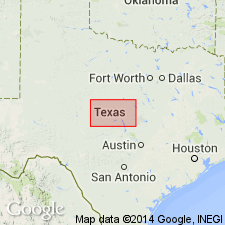
Mapped in Brown, Callahan, Coleman, Shackelford, Stephens, and Throckmorton Cos., central northern TX.
Source: Publication.
- Usage in publication:
-
- Saddle Creek Limestone [unranked]
- Modifications:
-
- Mapped 1:250k
- Dominant lithology:
-
- Limestone
- AAPG geologic province:
-
- Bend arch
- Llano uplift
Summary:
Saddle Creek Limestone [unranked] at base of Pueblo Formation of Cisco Group. Fine-grained limestone interbedded with shale toward top, medium to thick beds in lower part, thin-bedded and flaggy at top, resistant, dark gray to light gray and light brownish gray, weathers light gray; forms scarp, cut out by sandstone near north edge of map sheet; fossils include crinoids, corals, fusulinids, brachiopods, and encrusting algae. Thickness 3 to 8 feet. Lies below Camp Creek Shale [unranked] in Pueblo Formation and above Harpersville Formation of Cisco Group. Age is Early Permian (Wolfcampian).
[Mapped in Brown, Coleman, and McCulloch Cos., central TX.]
Source: Publication.
For more information, please contact Nancy Stamm, Geologic Names Committee Secretary.
Asterisk (*) indicates published by U.S. Geological Survey authors.
"No current usage" (†) implies that a name has been abandoned or has fallen into disuse. Former usage and, if known, replacement name given in parentheses ( ).
Slash (/) indicates name conflicts with nomenclatural guidelines (CSN, 1933; ACSN, 1961, 1970; NACSN, 1983, 2005, 2021). May be explained within brackets ([ ]).

