- Usage in publication:
-
- Mount Rogers volcanic series*
- Modifications:
-
- Named
- Dominant lithology:
-
- Rhyolite
- Tuff
- Arkose
- AAPG geologic province:
-
- Piedmont-Blue Ridge province
Summary:
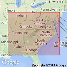
Named Mount Rogers volcanic series for Mount Rogers, VA. Consists of 1000 feet of rhyolite flows underlain by tuff, arkose, and basalt flows, and overlain by a series of red tuff and arkose. Unit is considered of late Precambrian age as it overlies, and is structurally discordant with, the injection complex and is overlain by the Unicoi formation of Early Cambrian age.
Source: GNU records (USGS DDS-6; Reston GNULEX).
- Usage in publication:
-
- Mount Rogers volcanic group*
- Modifications:
-
- Revised
- Areal extent
- AAPG geologic province:
-
- Appalachian basin
Summary:
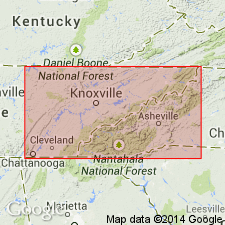
Areally extended into eastern TN. Name changed from Mount Rogers volcanic series of Stose and Stose (1944) to Mount Rogers volcanic group.
Source: GNU records (USGS DDS-6; Reston GNULEX).
- Usage in publication:
-
- Mount Rogers volcanic group*
- Modifications:
-
- Age modified
- AAPG geologic province:
-
- Appalachian basin
Summary:
Age changed from Precambrian(?) to Precambrian.
Source: GNU records (USGS DDS-6; Reston GNULEX).
- Usage in publication:
-
- Mount Rogers Formation*
- Modifications:
-
- Age modified
- Geochronologic dating
- AAPG geologic province:
-
- Piedmont-Blue Ridge province
Summary:
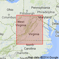
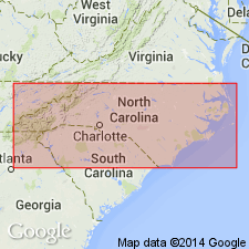
Five zircon samples from PA, VA, and NC yield discordant U-Pb ages suggesting original age of 820 m.y. Samples of felsic volcanic rocks were taken from Grandfather Mountain Formation in northwestern NC, Mount Rogers Formation in southwestern VA, and Catoctin Formation in southernmost PA. All in turn rest on billion-year-old rocks and are overlain by Lower Cambrian(?) rocks of Chilhowee Group. From the coherence of concordia of the samples, authors suggest that felsic volcanism in the Blue Ridge is essentially coeval and that the Grandfather Mountain Formation, Mount Rogers Formation, and Catoctin Formation north of Potomac River in MD and PA are Precambrian rather than Cambrian. A major hiatus is inferred between felsic volcanism and deposition of Chilhowee rocks. In addition, granitic basement of the Blue Ridge is everywhere older than 820 m.y. and, as a corollary, all stratified units unconformably overlying basement are younger than 1050 m.y. (based on two zircon samples from basement rocks under Grandfather Mountain Formation dated by Davis and others, 1962).
Source: GNU records (USGS DDS-6; Reston GNULEX).
- Usage in publication:
-
- Mount Rogers Formation*
- Modifications:
-
- Revised
- Age modified
- Overview
- AAPG geologic province:
-
- Piedmont-Blue Ridge province
Summary:
Mount Rogers Series of Stose and Stose (1944) is formally reduced in rank to Mount Rogers Formation. The rocks are readily subdivided lithologically, but lithologies intertongue locally and are repeated throughout the unit. Any rocks, known or unknown, from another area that correlate with Mount Rogers Formation would correlate with the formation as a whole and not with just a subdivision of it. Subdivisions proposed by Stose and Stose (1944) are poorly defined and serve no useful purpose. Therefore, Cinnamon Ridge Member, Flat Ridge Formation, and Cornett Basalt Member are abandoned. Late Precambrian age of Mount Rogers is well established; rests nonconformably on middle Precambrian Cranberry Gneiss and is in stratigraphic contact with overlying Unicoi Formation of Early Cambrian(?) age.
Source: GNU records (USGS DDS-6; Reston GNULEX).
- Usage in publication:
-
- Mount Rogers Formation*
- Modifications:
-
- Areal extent
- Overview
- AAPG geologic province:
-
- Piedmont-Blue Ridge province
- Appalachian basin
Summary:
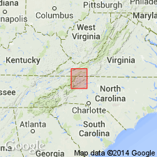
Mapped in Unaka belt and northwestern part of Blue Ridge belt in Grayson, Smyth, and Washington Cos., southwestern VA, and in Johnson and Ashe Cos., northwestern NC. Mapped undivided in small areas enclosed by Cranberry Gneiss. In main body of formation, divided into six unnamed units: 1) maroon tillite, laminated pebbly mudstone, arkose, rhythmite, tuffaceous sedimentary rock, and minor volcanic rock; 2) porphyritic rhyolite in thick piles of welded ashflow sheets and sericite phyllite; both contain quartz and perthite phenocrysts; 3) phenocryst-poor rhyolite lava and ash-flow tuff, some porphyritic rhyolite lava at base; 4) graywacke conglomerate, graywacke, laminated siltstone, shale, and minor calcareous sandstone, greenstone, and rhyolite; 5) greenstone and interbedded metasedimentary rock; and 6) porphyritic extrusive felsite of undetermined origin. Age is late Precambrian.
Source: GNU records (USGS DDS-6; Reston GNULEX).
- Usage in publication:
-
- Mount Rogers Formation
- Modifications:
-
- Overview
- AAPG geologic province:
-
- Piedmont-Blue Ridge province
Summary:
Lithologic distribution of amphibolites suggests that Ashland Group (revised) correlates with Ashe Formation in NC and with Mount Rogers Formation farther to the northeast.
Source: GNU records (USGS DDS-6; Reston GNULEX).
- Usage in publication:
-
- Mount Rogers Formation*
- Modifications:
-
- Overview
- Revised
- AAPG geologic province:
-
- Piedmont-Blue Ridge province
Summary:
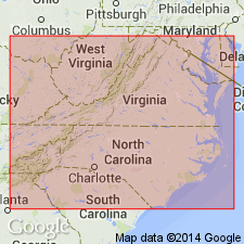
Included in informal Crossnore plutonic-volcanic group. Consists of interbedded and interfingering volcanic and clastic sedimentary rocks, all exhibiting low-grade metamorphism. Rhyolite constitutes 50 percent of the formation and underlies the geographic feature Mount Rogers. In the volcanic center, most of the rhyolite is younger than the basalt. Age of younger Precambrian is constrained by its underlying nonconformable contact with rocks of middle Precambrian Elk Park plutonic group, and stratigraphic position beneath Early Cambrian(?) Unicoi Formation.
Source: GNU records (USGS DDS-6; Reston GNULEX).
- Usage in publication:
-
- Mount Rogers Formation*
- Modifications:
-
- Revised
- AAPG geologic province:
-
- Piedmont-Blue Ridge province
Summary:
Crossnore plutonic-volcanic group formally named as Crossnore Plutonic-Volcanic Complex. Includes volcanic rocks of 1) Grandfather Mountain Formation in Grandfather Mountain window, NC, 2) Mount Rogers Formation of southwestern VA, 3) the Catoctin Formation north of Roanoke, VA, and 4) consanguineous intrusive rocks associated with the formations. Age is late Precambrian. [Inclusion of Striped Rock, Beech, and Brown Mountain Granites, Bakersville Gabbro, and Linville Metadiabase is implied, but not clearly spelled out. Inclusion of Catoctin in the Crossnore was probably not intended, per oral communication with first author; however, GNC records reflect its inclusion.]
Source: GNU records (USGS DDS-6; Reston GNULEX).
- Usage in publication:
-
- Mount Rogers Formation
- Modifications:
-
- Overview
- AAPG geologic province:
-
- Piedmont-Blue Ridge province
Summary:
Mount Rogers Formation subdivided into unnamed upper metafelsite unit and lower metagraywacke unit. Age is Late Proterozoic.
Source: GNU records (USGS DDS-6; Reston GNULEX).

- Usage in publication:
-
- Mount Rogers Formation
- Modifications:
-
- Overview
- Areal extent
- AAPG geologic province:
-
- Piedmont-Blue Ridge province
Summary:
Mount Rogers Formation mapped in Washington, Smyth, and Grayson Cos. only, unconformably underlying the Konnarock Formation. Divided into five lithologic map units: porphyritic rhyolite (Wilburn Rhyolite Member); phenocryst-poor rhyolite (Whitetop Rhyolite Member and Buzzard Rock Member); graywacke conglomerate, graywacke, tuffaceous sandstone, laminated siltstone, shale and minor greenstone and rhyolite; greenstone and interbedded metasedimentary rocks; and porphyritic felsite (includes Fees Rhyolite Member near base). Crossnore Complex is not used on map or in text.
Source: GNU records (USGS DDS-6; Reston GNULEX).
- Usage in publication:
-
- Mount Rogers Formation*
- Modifications:
-
- Revised
- AAPG geologic province:
-
- Appalachian basin
Summary:
Glaciogenic deposits (maroon diamictite, rhythmite, and pink arkose) formerly assigned to upper part of largely volcanogenic Mount Rogers Formation are here named Konnarock Formation. Konnarock is probably significantly younger than and is unconformably above Mount Rogers Formation. Mount Rogers Formation revised to include four new members (from oldest to youngest): Fees Rhyolite Member (from an older volcanic center), Buzzard Rock Member (a lava flow), Whitetop Rhyolite Member (a lava flow), and Wilburn Rhyolite Member (a climactically zoned, welded ash-flow sheet) (the latter three from the Mount Rogers volcanic center). The rhyolites from the Mount Rogers volcanic center are about 760 Ma and are thought to be related to an early, but unsuccessful, episode of Iapetan rifting.
Source: GNU records (USGS DDS-6; Reston GNULEX).
- Usage in publication:
-
- Mount Rogers Formation*
- Modifications:
-
- Overview
- AAPG geologic province:
-
- Piedmont-Blue Ridge province
Summary:
Trace fossil RUSOPHYCUS in upper division of Unicoi Formation (Simpson and Sundberg, 1987) indicates that the upper part of Unicoi is no older than early Tommotian (Early Cambrian) age. Therefore, disconformably underlying Mount Rogers Formation is assigned a Late Proterozoic age. Report includes geologic maps, correlation chart, and isotopic data.
Source: GNU records (USGS DDS-6; Reston GNULEX).
- Usage in publication:
-
- Mount Rogers Formation*
- Modifications:
-
- Overview
- AAPG geologic province:
-
- Piedmont-Blue Ridge province
Summary:
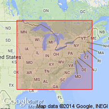
On the correlation chart for Precambrian rocks of the conterminous United States, the Mount Rogers Formation in the central and southern Laurentian Appalachians is shown to be of Late Proterozoic age (780 to 760 Ma).
Source: GNU records (USGS DDS-6; Reston GNULEX).
- Usage in publication:
-
- Mount Rogers Formation*
- Modifications:
-
- Geochronologic dating
- AAPG geologic province:
-
- Piedmont-Blue Ridge province
Summary:
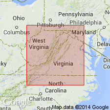
Zircon U-Pb geochronology yields the following ages: 759+/-7 Ma for rhyolite of Mount Rogers Formation; 572+/-5 Ma for a hypabyssal felsic dike of Catoctin Formation; 564+/-9 Ma for rhyolite of Catoctin; and 1.1 Ga for detrital zircon in metarhyolite of Catoctin. Volcanic rocks of Mount Rogers and Catoctin differ in age by about 200 m.y., invalidating previous geochronology that combined U-Pb data to derive an upper intercept age of about 810 Ma (Rankin and others, 1983).
Source: GNU records (USGS DDS-6; Reston GNULEX).
For more information, please contact Nancy Stamm, Geologic Names Committee Secretary.
Asterisk (*) indicates published by U.S. Geological Survey authors.
"No current usage" (†) implies that a name has been abandoned or has fallen into disuse. Former usage and, if known, replacement name given in parentheses ( ).
Slash (/) indicates name conflicts with nomenclatural guidelines (CSN, 1933; ACSN, 1961, 1970; NACSN, 1983, 2005, 2021). May be explained within brackets ([ ]).

