- Usage in publication:
-
- Martin limestone*
- Modifications:
-
- Named
- Dominant lithology:
-
- Limestone
- AAPG geologic province:
-
- Pedregosa basin
Summary:
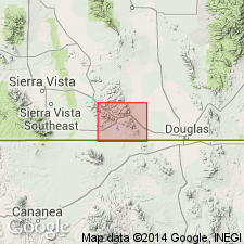
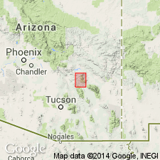
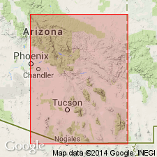
Martin limestone. Dark-gray, hard, compact, fossiliferous limestones; occasional beds of lighter hue and sometimes calcareous shales of decided pinkish tint. The limestone beds are usually less than 4 feet thick, being thicker than those of Abrigo limestone and thinner than those of Escabrosa limestone. Thickness 340 feet. Rests, apparently conformably, on Abrigo limestone (Cambrian) and is overlain, apparently conformably, by Escabrosa limestone (Mississippian). Upper limit not always sharply defined. Age is Middle Devonian; carries abundant small brachiopods and some corals. Report includes geologic map, cross sections, columnar section.
Named from Mount Martin, on Escabrosa Ridge, Mule Mountains, in T. 23 S., R. 24 E., Bisbee quadrangle, Cochise Co., southeastern AZ, where formation is typically developed and well exposed. [According to GNU records (USGS DDS-6; Denver GNULEX, April 5, 1988), type locality not designated.]
Source: US geologic names lexicon (USGS Bull. 896, p. 1311); supplemental information from GNU records (USGS DDS-6; Denver GNULEX).
- Usage in publication:
-
- Martin limestone*
- Modifications:
-
- Areal extent
- AAPG geologic province:
-
- Basin-and-Range province
Summary:
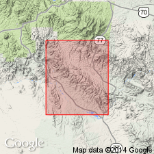
Martin limestone. Extended into Ray area, Ray quadrangle, Arizona. Consists of a lower light-gray limestone and an upper darker-gray limestone; a distinctive 15- to 20-foot-thick yellow calcareous shale occurs at top. Average thickness 325 feet. Overlies Troy quartzite (new), upper formation of Apache group (rocks formerly included in upper Dripping Spring quartzite). Underlies thick-bedded, cliff-forming Carboniferous Tornado limestone. Age is Devonian.
Source: Modified from GNU records (USGS DDS-6; Denver GNULEX).
- Usage in publication:
-
- Martin limestone*
- Modifications:
-
- Areal extent
- Overview
- AAPG geologic province:
-
- Pedregosa basin
- Basin-and-Range province
Summary:
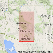
Martin limestone. Thickness 340 feet in Tombstone area, Globe and Ray quadrangles, Arizona; lies between Abrigo and Escabrosa limestones. Thickness 325 feet in Roosevelt quadrangle, Arizona; lies between Troy quartzite and Tornado limestone. Fossiliferous: corals (e.g., ZAPHRENTIS, etc.), brachiopods (e.g., SPIRIFER, ATRYPA, PRODUCTELLA, SCHUCHERTELLA, etc.), mollusks (e.g., BELLEROPHON, etc.), crinoids, and sponges. Age is Devonian.
Source: Modified from GNU records (USGS DDS-6; Denver GNULEX).
- Usage in publication:
-
- Martin limestone*
- Modifications:
-
- Age modified
- AAPG geologic province:
-
- Pedregosa basin
- Basin-and-Range province
Summary:
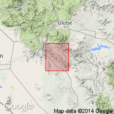
Martin limestone. Age considered Late, and possibly, Middle Devonian.
Source: Modified from GNU records (USGS DDS-6; Denver GNULEX).
- Usage in publication:
-
- Martin limestone*
- Modifications:
-
- Areal extent
- AAPG geologic province:
-
- Basin-and-Range province
Summary:
Martin limestone. Recognized in Aravaipa and Stanley districts, Graham County, Arizona. Age is Middle and Late Devonian.
Source: Modified from GNU records (USGS DDS-6; Denver GNULEX).
- Usage in publication:
-
- Martin limestone
- Modifications:
-
- Revised
- AAPG geologic province:
-
- Pedregosa basin
- Basin-and-Range province
Summary:
Martin limestone. In Whetstone and Rincon Mountains, and Picacho de Calera Hills, Arizona, overlies newly named Picacho de Calera formation. In Santa Catalina Mountains, Arizona, underlies "Lower Ouray limestone." Age is Late Devonian.
[GNC remark (ca. 1938, US geologic names lexicon, USGS Bull. 896, p. 1311): As thus originally defined and as used in subsequent reports, Martin limestone included all of Devonian of southeast Arizona. In 1936 A.A. Stoyanow restricted Martin limestone to upper 280 feet of Martin limestone of previous reports, and applied "Picacho de Calera formation" to lower 73 feet of the Devonian limestone in Picacho de Calera Hills and Rincon and Whetstone Mountains. In Santa Catalina Mountains he named the upper 150 feet of the Devonian the "Lower Ouray formation" (a name transplanted from southwest Colorado) and applied Martin limestone to underlying 145 feet. The USGS has not yet had occasion to consider these restrictions. (See also Santa Rita limestone.)]
Source: US geologic names lexicon (USGS Bull. 896, p. 1311); supplemental information from GNU records (USGS DDS-6; Denver GNULEX).
- Usage in publication:
-
- Martin limestone
- Modifications:
-
- Areal extent
- AAPG geologic province:
-
- Basin-and-Range province
Summary:
Martin limestone. Present in Superior area, Arizona. Overlies Troy quartzite (Middle Cambrian) and underlies Escabrosa limestone (Mississippian). Age is Devonian.
Source: Modified from GNU records (USGS DDS-6; Denver GNULEX).
- Usage in publication:
-
- Martin limestone*
- Modifications:
-
- Age modified
- Biostratigraphic dating
- AAPG geologic province:
-
- Pedregosa basin
- Basin-and-Range province
Summary:
Martin limestone. Age is Late Devonian, based on fossils.
Source: Modified from GNU records (USGS DDS-6; Denver GNULEX).
- Usage in publication:
-
- Martin limestone
- Modifications:
-
- Not used
- AAPG geologic province:
-
- Pedregosa basin
Summary:
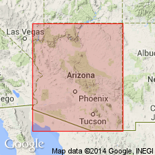
Pg. 225-228. Martin limestone. In Bisbee region, no less than four good and valid geological formations incorporated in Martin limestone, each distinguishable lithologically and faunally, three of which are: Escacado limestone, Patagonia limestone, and Espinal formation. Martin limestone represents entire periodic sedimentation, and is merely synonymic with Devonic itself.
Source: US geologic names lexicon (USGS Bull. 1200, p. 2399-2400).
- Usage in publication:
-
- Martin limestone
- Modifications:
-
- Revised
- AAPG geologic province:
-
- Basin-and-Range province
Summary:
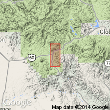
Pg. 27. [Martin limestone.] In Superior district, Arizona, restricted at base to exclude beds herein named Crook formation.
Source: US geologic names lexicon (USGS Bull. 1200, p. 2399-2400).
- Usage in publication:
-
- Martin formation*
- Modifications:
-
- Areal extent
- Redescribed
- AAPG geologic province:
-
- Basin-and-Range province
- Plateau sedimentary province
- Black Mesa basin
Summary:
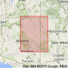
Martin formation. Extended into Pine-Payson area (replaces †Jerome formation), and northward into southernmost Coconino and Navajo Counties, Arizona. Overlies Troy quartzite and underlies Redwall limestone. Age is Devonian.
Source: Modified from GNU records (USGS DDS-6; Denver GNULEX).
- Usage in publication:
-
- Martin limestone
- Modifications:
-
- Areal extent
- AAPG geologic province:
-
- Pedregosa basin
Summary:
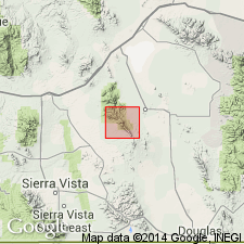
Martin limestone. In Dragoon Mountains, Arizona, overlies Abrigo formation and underlies Escabrosa limestone. Age is Late Devonian.
Source: Modified from GNU records (USGS DDS-6; Denver GNULEX).
- Usage in publication:
-
- Martin formation*
- Modifications:
-
- Revised
Summary:
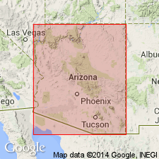
Pg. 76. Martin formation. In northeastern Arizona, formation composed of three unnamed member (ascending): conglomeratic sandstone and dolomitic limestone member; sandstone and limestone member; and calcareous sandstone, sandy limestone and shale member. As traced from southeastern Arizona toward central Arizona, formation becomes increasingly sandy. Age is Late Devonian.
Source: US geologic names lexicon (USGS Bull. 1200, p. 2399-2400).
- Usage in publication:
-
- Martin limestone*
- Modifications:
-
- Areal extent
- AAPG geologic province:
-
- Pedregosa basin
Summary:
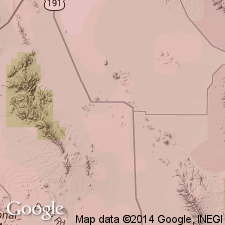
Martin limestone. Shown on diagram. Present in Little Dragoon Mountains, Cochise County, Arizona. Lies between Abrigo formation (below) and Escabrosa limestone (above). Age is Devonian.
Source: Modified from GNU records (USGS DDS-6; Denver GNULEX).
- Usage in publication:
-
- Martin Limestone
- Modifications:
-
- Areal extent
- Overview
- AAPG geologic province:
-
- Basin-and-Range province
Summary:
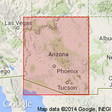
Pg. 99, 100. Martin limestone. Limestone disconformably overlies either Dripping Spring quartzite or small remnants of Troy quartzite and underlies Escabrosa limestone and Naco limestone in Globe-Miami district, Arizona.
Source: US geologic names lexicon (USGS Bull. 1200, p. 2399-2400).
- Usage in publication:
-
- Martin limestone
- Modifications:
-
- Areal extent
- AAPG geologic province:
-
- Basin-and-Range province
Summary:
Martin limestone. Present in Pima district, Sierrita Mountains, Arizona. Thickness 100 to 350 feet. Overlies Abrigo formation; underlies Escabrosa limestone.
Source: Modified from GNU records (USGS DDS-6; Denver GNULEX).
- Usage in publication:
-
- Martin limestone
- Modifications:
-
- Areal extent
- AAPG geologic province:
-
- Basin-and-Range province
Summary:
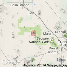
Martin limestone. Present in Silver Bell Mountains, Arizona. Thickness about 300 feet. Overlies Abrigo limestone; underlies Escabrosa limestone. Age is Late Devonian.
Source: Modified from GNU records (USGS DDS-6; Denver GNULEX).
- Usage in publication:
-
- Martin limestone
- Modifications:
-
- Areal extent
- AAPG geologic province:
-
- Basin-and-Range province
- Plateau sedimentary province
Summary:
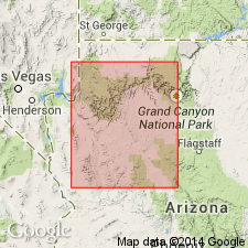
Martin limestone. Extended northwestward from Jerome, Arizona, into the western part of the Grand Canyon, Arizona. Age is Late Devonian.
Source: Modified from GNU records (USGS DDS-6; Denver GNULEX).
- Usage in publication:
-
- Martin limestone*
- Modifications:
-
- Areal extent
- Overview
- AAPG geologic province:
-
- Pedregosa basin
Summary:
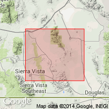
Pg. 26-29, pl. 5. Martin limestone. A shallow water marine deposit. Lithologically, the most variable formation of Paleozoic age of central Cochise County, southeastern Arizona. In type section, in Bisbee quadrangle, formation dominantly limestone, with some pinkish shale in lower half; in Tombstone Hills, shale with subordinate sandstone constitutes over half the formation; in Dragoon Mountains, sandstone still more conspicuous, and dolomite more abundant than limestone; and in Whetstone Mountains, more largely clastic than at Bisbee. Thickness ranges from 229.5 to 340 feet, but variation in thickness not significant of regional thinning. Age is Late Devonian. Report includes geologic map.
Source: US geologic names lexicon (USGS Bull. 1200, p. 2399-2400).
- Usage in publication:
-
- Martin limestone*
- Modifications:
-
- Areal extent
- AAPG geologic province:
-
- Basin-and-Range province
Summary:
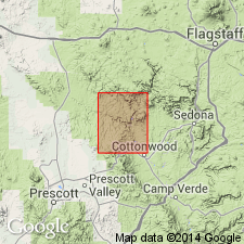
Martin limestone. In Jerome area, Yavapai County, Arizona, limited chiefly to Mingus Mountain, an area of about 150 sq mi. Jerome formation of Stoyanow (1936) not accepted. Overlies Tapeats sandstone(?) and underlies Redwall limestone. Age is Middle(?) and Late Devonian.
Source: Modified from GNU records (USGS DDS-6; Denver GNULEX).
- Usage in publication:
-
- Martin limestone*
- Modifications:
-
- Revised
- AAPG geologic province:
-
- Basin-and-Range province
Summary:
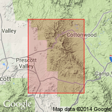
Pg. 523-528, pls. 45, 47. Martin limestone. In Jerome area, Yavapai County, Arizona, limestone subdivided into four unnamed members which do not correspond to the three members farther east as recognized by Huddle. Age is Middle(?) and Late Devonian.
Source: US geologic names lexicon (USGS Bull. 1200, p. 2399-2400).
- Usage in publication:
-
- Martin formation*
- Modifications:
-
- Age modified
- Biostratigraphic dating
- AAPG geologic province:
-
- Basin-and-Range province
Summary:
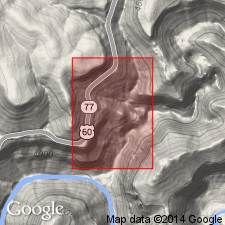
Martin formation. Collection from lower part of formation (equivalent to lower part of Jerome formation of Stoyanow, 1936), about 16 feet above base, in measured section (367 feet) at entrance to Flying V Canyon in Salt River Gorge, in SW/4 SW/4 sec. 20, T. 6 N., R. 18 W., Gila County, Fort Apache Indian Reservation, Arizona, yielded fossil psilophyte plants, indicating an Early or Middle Devonian age (Middle Devonian seems more probable). This is first reported occurrence of Devonian rocks older than Late Devonian anywhere in Arizona. Formation overlies Precambrian diabase; underlies Mississippian Redwall limestone. Report includes lithologic descriptions, fossil descriptions.
Source: Modified from GNU records (USGS DDS-6; Denver GNULEX).
- Usage in publication:
-
- Martin Formation
- Modifications:
-
- Age modified
- Biostratigraphic dating
- AAPG geologic province:
-
- Basin-and-Range province
- Pedregosa basin
Summary:
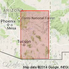
Pg. 72-76. Conodonts collected from the upper part of the Martin Formation near Globe, Superior, Payson, and Bisbee, Arizona, indicate an age of early Late Devonian. Age of the lower part of the Martin Formation is undetermined; could be Late or Middle Devonian.
Source: Modified from GNU records (USGS DDS-6; Denver GNULEX).
- Usage in publication:
-
- Martin Formation*
- Modifications:
-
- Redescribed
- Overview
- Dominant lithology:
-
- Sandstone
- Shale
- Quartzite
- Dolomite
- AAPG geologic province:
-
- Pedregosa basin
Summary:
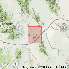
Martin Formation. Redescribed from Dragoon quadrangle, Cochise County, Arizona. Includes: lower member, 60-105 feet of gray dolomite, dolomitic shale, siltstone, fine- to medium-grained sandstone and quartzite; and an upper member. Total thickness from 206 feet (Johnny Lyon Hills) to 258 feet (Gunnison Hills). Fossiliferous (corals, brachiopods). Age is Late Devonian. Report includes geologic map.
Source: Modified from GNU records (USGS DDS-6; Denver GNULEX).
- Usage in publication:
-
- Martin Formation*
- Modifications:
-
- Areal extent
- AAPG geologic province:
-
- Basin-and-Range province
Summary:
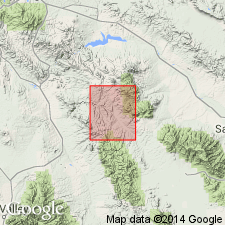
Martin Formation. Extended into Klondyke quadrangle, Graham and Pinal Counties, Arizona. Thought to resemble Martin Limestone of Bisbee area more than Morenci Shale or Portal Formation. Thickness up to 150 feet. Lies between Cambrian Bolsa Quartzite and Mississippian Escabrosa Limestone. Age is Late Devonian, based on stratigraphic position. Report includes measured sections, geologic map.
Source: Modified from GNU records (USGS DDS-6; Denver GNULEX).
- Usage in publication:
-
- Martin Limestone*
- Modifications:
-
- Principal reference
- Revised
- AAPG geologic province:
-
- Pedregosa basin
Summary:
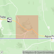
Martin Limestone. Lower boundary extended to include the upper 70 feet of Abrigo Limestone. As redefined, lower part, 50 to 100 feet of olive-gray-weathering, sandy and silty dolomite with subordinate calcareous or dolomitic siltstone and sandstone; middle part, 200+/- feet of fossiliferous, variably bedded, medium- to dark-gray limestone, and poorly exposed marl and calcareous siltstone; upper part, 50 to 100 feet of poorly exposed thin-bedded, medium- to light-gray and pinkish-gray, fine- to medium-grained, unfossiliferous dolomite. Represents deposition in shallow shelf sea. Correlative with, at least in part: Swisshelm Formation of Epis and others (1957), Onate Formation of Stevenson (1945), Sly Gap Formation of Stevenson (1945), and Jerome Member of Martin Limestone of Teichert (1965). Disconformably overlies Abrigo; probably disconformably underlies Escabrosa Limestone. Age is Late Devonian, based on fossils (corals and brachiopods).
Type section (redescribed): in SE/4 SE/4 sec. 7, and NE/4 NE/4 sec. 18, T. 23 S., R. 24 E., Cochise Co., AZ.
Principal reference section: in SW/4 SE/4 sec. 9, T. 23 S., R. 23 E.
Source: Modified from GNU records (USGS DDS-6; Denver GNULEX).
- Usage in publication:
-
- Martin Formation*
- Modifications:
-
- Areal extent
- AAPG geologic province:
-
- Basin-and-Range province
Summary:
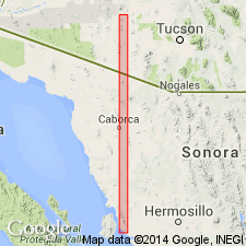
Martin Formation. Present in Vekol Mountains, Pinal County, Arizona. Unconformably underlies Phonodoree Formation (Mesozoic). Age is Devonian.
Source: Modified from GNU records (USGS DDS-6; Denver GNULEX).
- Usage in publication:
-
- Martin Limestone*
- Modifications:
-
- Areal extent
- AAPG geologic province:
-
- Basin-and-Range province
Summary:
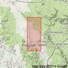
Martin Limestone. Present in Paulden quadrangle, Arizona. Age is Middle(?) and Late Devonian.
Source: Modified from GNU records (USGS DDS-6; Denver GNULEX).
- Usage in publication:
-
- Martin Formation*
- Modifications:
-
- Overview
- Biostratigraphic dating
- AAPG geologic province:
-
- Black Mesa basin
- Basin-and-Range province
- Plateau sedimentary province
Summary:
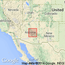
Martin Formation. In Yavapai, Gila, and parts of Navajo and Coconino Counties, central Arizona, includes (ascending) Beckers Butte Member (new, Early or Middle Devonian) and Jerome Member (early Late Devonian). At least in part equivalent to Late Devonian Martin Limestone of Bisbee area, southeastern Arizona. Unconformably overlies Precambrian rocks over most of area. Report includes measured sections, fossil distribution.
Source: Publication.
- Usage in publication:
-
- Martin Formation*
- Modifications:
-
- Age modified
- AAPG geologic province:
-
- Basin-and-Range province
Summary:
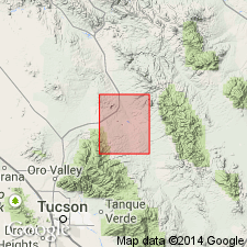
Martin Formation. Age changed from Middle(?) and Late Devonian --to-- Middle and Late Devonian. [Age change accepted by the US Geologic Names Committee (explanation not given).]
Source: Modified from GNU records (USGS DDS-6; Denver GNULEX).
- Usage in publication:
-
- Martin Formation*
- Modifications:
-
- Overview
- AAPG geologic province:
-
- Basin-and-Range province
- Pedregosa basin
Summary:
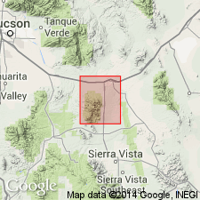
Martin Formation. Measured sections described: (1) in S/2 sec. 1, T. 18 S., R. 18 E., Pima County, Arizona, 205 feet thick; and (2) in NE/4 sec. 15, T. 19 S., R. 19 E., Cochise County, Arizona, 320 feet thick.
Source: Modified from GNU records (USGS DDS-6; Denver GNULEX).
- Usage in publication:
-
- Martin Formation*
- Modifications:
-
- Age modified
- Overview
- AAPG geologic province:
-
- Basin-and-Range province
- Plateau sedimentary province
- Black Mesa basin
- Pedregosa basin
Summary:
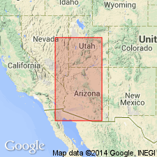
Martin Formation and Martin Limestone. In central Arizona, includes (descending) Jerome Member (Late Devonian, Frasnian) and Beckers Butte Sandstone Member (Early or early Middle Devonian). In southeastern Arizona, age ranges from late Middle Devonian (Givetian) to late Late Devonian (Famennian).
Source: Modified from GNU records (USGS DDS-6; Denver GNULEX).
- Usage in publication:
-
- Martin Limestone*
- Modifications:
-
- Areal extent
- AAPG geologic province:
-
- Pedregosa basin
Summary:
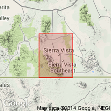
Martin Limestone. In Huachuca Mountains, Cochise County, Arizona, thickness about 320 feet. Age is Late Devonian.
Source: Modified from GNU records (USGS DDS-6; Denver GNULEX).
- Usage in publication:
-
- Martin Formation*
- Modifications:
-
- Age modified
- AAPG geologic province:
-
- Basin-and-Range province
Summary:
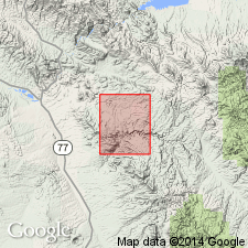
Martin Formation. Consists of olive to reddish-brown shale interbedded with reddish-brown and light-brownish-gray limestone beds 2 inches to 4 feet thick. Upper part, coarse-grained, light-gray, Escabrosa-like limestone. Basal part generally a few inches of hematite-rich sandstone with granules and small pebbles of quartz; contains abundant shark teeth and arthrodiran fish fragments. Age is Late Devonian in this area.
Source: Modified from GNU records (USGS DDS-6; Denver GNULEX).
- Usage in publication:
-
- Martin Group
- Modifications:
-
- Revised
- AAPG geologic province:
-
- Black Mesa basin
- Basin-and-Range province
- Plateau sedimentary province
Summary:
Martin Group. Proposes raising Martin Formation to group status and include (ascending) Beckers Butte Sandstone and Jerome Formation, in central Arizona. Age is Devonian.
Source: Modified from GNU records (USGS DDS-6; Denver GNULEX).
- Usage in publication:
-
- Martin Formation(?)*
- Modifications:
-
- Areal extent
- Overview
- AAPG geologic province:
-
- Basin-and-Range province
Summary:
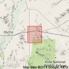
Martin(?) Formation. Tentatively recognized in Plomosa Mountains, Yuma County, Arizona. Thickness about 325 feet. Nonfossiliferous. Overlies Cambrian Abrigo(?) Formation; underlies Mississippian Escabrosa Limestone. Age is Devonian.
Source: Modified from GNU records (USGS DDS-6; Denver GNULEX).
- Usage in publication:
-
- Martin Formation*
- Modifications:
-
- Areal extent
- AAPG geologic province:
-
- Basin-and-Range province
Summary:
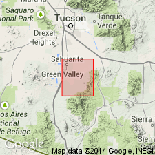
Martin Formation. Present in Santa Rita Mountains, Pima County, Arizona. Age is Late Devonian.
Source: Modified from GNU records (USGS DDS-6; Denver GNULEX).
- Usage in publication:
-
- Martin Formation
- Modifications:
-
- Age modified
- AAPG geologic province:
-
- Basin-and-Range province
Summary:
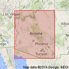
Martin Formation. Flora in Beckers Butte Member indicate a late Givetian (Middle Devonian) or early Frasnian (earliest Late Devonian) age. Overlying Jerome Member is Frasnian.
Source: Modified from GNU records (USGS DDS-6; Denver GNULEX).
- Usage in publication:
-
- Martin Formation*
- Modifications:
-
- Overview
- AAPG geologic province:
-
- Basin-and-Range province
Summary:
Martin Formation. Area between Partridge Creek in the Chino Valley and Jerome, Yavapai County, Arizona. Overlies Chino Valley Formation (new); rocks formerly upper unit of Tapeats Sandstone. Contact is sharp, showing little evidence of erosional hiatus. Age is Late Devonian.
Source: Modified from GNU records (USGS DDS-6; Denver GNULEX).
- Usage in publication:
-
- Martin Formation
- Modifications:
-
- Areal extent
- Revised
- AAPG geologic province:
-
- Pedregosa basin
- Basin-and-Range province
Summary:
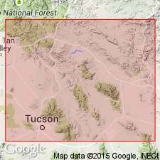
Martin Formation. Stratigraphically restricted in Cochise, Graham, Greenlee, Pima, and Pinal Counties, southeastern Arizona. The upper 15- to 300-foot sequence of slope-forming shales, siltstones, and carbonates, between disconformity and overlying Escabrosa Limestone, are reallocated to Percha Formation. Age is early Late Devonian (Frasnian). Report includes isopach map.
Source: Modified from GNU records (USGS DDS-6; Denver GNULEX).
- Usage in publication:
-
- Martin Formation*
- Modifications:
-
- Overview
- Areal extent
- AAPG geologic province:
-
- Pedregosa basin
Summary:
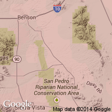
Martin Formation. Similar to Swisshelm Formation of Epis and others (1957) of the Swisshelm Mountains, Arizona. Age is Late Devonian. Report includes correlation chart.
Source: Modified from GNU records (USGS DDS-6; Denver GNULEX).
- Usage in publication:
-
- Martin Formation*
- Modifications:
-
- Age modified
- AAPG geologic province:
-
- Pedregosa basin
- Basin-and-Range province
Summary:
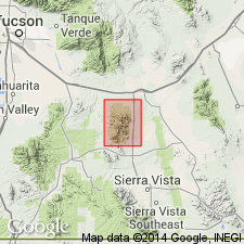
Martin Formation. Age modified to Middle(?) and Late Devonian in Whetstone Mountains, Cochise and Pima Counties, Arizona.
Source: Modified from GNU records (USGS DDS-6; Denver GNULEX).
- Usage in publication:
-
- Martin Formation*
- Modifications:
-
- Mapped 1:24k
- Dominant lithology:
-
- Limestone
- Dolomite
- Shale
- Sandstone
- AAPG geologic province:
-
- Pedregosa basin
Summary:
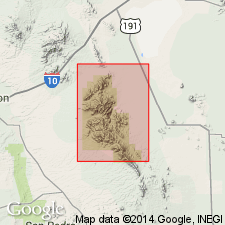
Martin Formation. Limestone, dolomite, shale, and some sandstone. Consists of: light-gray to light-brownish-gray, thin- to medium-bedded, fossiliferous (ATRYPA brachiopods) limestone; brown to brownish-gray, medium-bedded, cherty dolomite; brownish-gray, calcareous shale or siltstone; and mostly yellowish- to medium-brown, thin-bedded sandstone and sandy dolomite. Thickness about 80 to 100 m. Age is Late Devonian.
Source: Publication.
- Usage in publication:
-
- Martin Formation*
- Modifications:
-
- Areal extent
- Overview
- AAPG geologic province:
-
- Pedregosa basin
Summary:
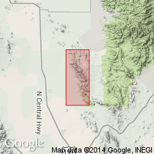
Martin Formation. Correlates with Percha Shale of southern New Mexico; Swisshelm Formation (chiefly dolomite with some sandstone and marlstone) of Swisshelm Mountains, Arizona; and Portal Formation (alternating thin limestones and shales) in area east of Sulphur Springs Valley, between Dragoon and Swisshelm Mountains, Arizona. Age is Late Devonian.
Source: Modified from GNU records (USGS DDS-6; Denver GNULEX).
For more information, please contact Nancy Stamm, Geologic Names Committee Secretary.
Asterisk (*) indicates published by U.S. Geological Survey authors.
"No current usage" (†) implies that a name has been abandoned or has fallen into disuse. Former usage and, if known, replacement name given in parentheses ( ).
Slash (/) indicates name conflicts with nomenclatural guidelines (CSN, 1933; ACSN, 1961, 1970; NACSN, 1983, 2005, 2021). May be explained within brackets ([ ]).

