- Usage in publication:
-
- Chaffin bed
- Modifications:
-
- Original reference
- Dominant lithology:
-
- Limestone
- Clay
- Sandstone
- AAPG geologic province:
-
- Bend arch
- Llano uplift
Summary:
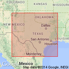
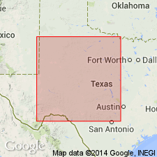
Pg. 410-412. Chaffin bed in Cisco division. South of Home Creek (Coleman County), massive, hard, brittle, bluish white limestone of slightly nodular structure, in places replaced by massive sandstone; north of Home Creek, 2 to 3 feet of massive, brown-weathering limestone above and 1 to 5 feet of crumbling white limestone below, separated by 25 to 50 feet of clay. Member of Cisco division [Cisco is 2nd from top of 5 Carboniferous divisions of Cummins, 1891]. Underlies Waldrip bed and overlies Parks Mountain bed. Fossils (foraminifers, echinoderms, bryozoans, brachiopods, pelecypods, and gastropods). Age is Pennsylvanian.
[Named from Chaffin coal mine, 2 mi east of Waldrip, McCulloch Co., Colorado River region, central TX.]
Source: Publication; US geologic names lexicon (USGS Bull. 896, p. 393).
- Usage in publication:
-
- Upper Chaffin bed
- Lower Chaffin bed
- Modifications:
-
- Not used
- AAPG geologic province:
-
- Bend arch
- Llano uplift
Summary:
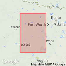
Pg. 24; Univ. Texas Bull., no. 2132, p. 158. Upper Chaffin bed of Drake is Breckenridge limestone member of Thrifty formation and Lower Chaffin bed of Drake is probably Blach Ranch limestone member of Thrifty formation of Brazos River region. [Age is Pennsylvanian.]
Source: US geologic names lexicon (USGS Bull. 896, p. 393).

- Usage in publication:
-
- Chaffin limestone member*
- Modifications:
-
- Overview
- AAPG geologic province:
-
- Bend arch
- Llano uplift
Summary:
The present [ca. 1936] definition of the USGS treats Chaffin limestone as top member of Thrifty formation in Colorado River region, central Texas, its type area, and as overlying Parks Mountain sandstone member of the Thrifty and underlying Harpersville formation. Age is Pennsylvanian.
Named from Chaffin coal mine, 2 mi east of Waldrip, McCulloch Co., Colorado River region, central TX.
Source: US geologic names lexicon (USGS Bull. 896, p. 393).
- Usage in publication:
-
- Chaffin bed
- Modifications:
-
- Not used
- AAPG geologic province:
-
- Bend arch
- Llano uplift
Summary:
Pg. 233. The Breckenridge limestone (top member of Thrifty formation of Colorado River area) was described by Drake as Chaffin bed, and was correlated with Breckenridge limestone of Brazos River area by Plummer and Moore. The bed lies directly on Chaffin coal. [Age is Pennsylvanian.]
Source: US geologic names lexicon (USGS Bull. 896, p. 393).
- Usage in publication:
-
- Chaffin limestone member*
- Modifications:
-
- Areal extent
- AAPG geologic province:
-
- Bend arch
Summary:
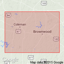
Pg. 127-128. Chaffin limestone member of Thrifty formation. At type locality, crops out above Chaffin coal and is 20 feet thick. Within 200 yards to the north, it is cut out by unconformity and replaced by sandstone of later age. Where Chaffin limestone reappears east of Rockwood, two limestones are present, separated by 12 feet of shale. Some observers have considered these two beds to represent bifurcation of the Chaffin as it appears south of Colorado River, but presence of carbonaceous shale in position of Chaffin coal below the thick upper limestone near Rockwood suggests that lower bed there may be a separate limestone bed in Lohn shale member. Plummer and Moore [1922] correlated upper and lower limestone beds of split Chaffin limestone with Breckenridge limestone and Blach Ranch limestone, respectively, of Brazos River basin, where the Blach Ranch, like the Chaffin, has a thin coaly bed below it. Top member of Thrifty formation. Overlies Parks Mountain sandstone member; underlies Harpersville formation. [Age is Late Pennsylvanian.]
Source: US geologic names lexicon (USGS Bull. 1200, p. 704-705).
- Usage in publication:
-
- Chaffin formaton
- Modifications:
-
- Revised
- AAPG geologic province:
-
- Bend arch
Summary:
Pg. 66 (fig. 1), 91. Chaffin formation of Thrifty group. Rank raised to formation in Thrifty group. Underlies Obregon formation (new); overlies Breckenridge formation. Consists of an upper thin limestone member about 20 feet above a thicker limestone member, both fusulinid-bearing; these are separated from basal Parks Mountain sandstone member by shale. [Age is Late Pennsylvanian.]
Source: US geologic names lexicon (USGS Bull. 1200, p. 704-705).
- Usage in publication:
-
- Chaffin limestone member*
- Modifications:
-
- Areal extent
- AAPG geologic province:
-
- Bend arch
Summary:
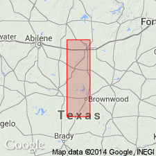
Pg. 50. Chaffin limestone member of Thrifty formation. Shown on composite stratigraphic section of Brown and Coleman Counties, Texas, as limestone member at top of Thrifty formation. Consists of gray, slabby limestone, commonly purple blotched; fusulinids and "seaweed" structures abundant. Overlies Parks Mountain sandstone member; underlies Waldrip shale member of Permian Pueblo formation. [Age is Late Pennsylvanian.]
Source: US geologic names lexicon (USGS Bull. 1200, p. 704-705).
- Usage in publication:
-
- Chaffin limestone member*
- Modifications:
-
- Biostratigraphic dating
- AAPG geologic province:
-
- Bend arch
Summary:
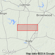
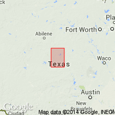
Chaffin limestone member of Thrifty formation of Cisco group (Crystal Falls limestone member, in part, of the Brazos River drainage basin). In Coleman County, consists of about 2 feet of slabby, irregularly bedded, gray limestone stained with large purplish spots. In northern Brown County it is a calcilutite and in Eastland County, where it is 4 feet thick, it is a calcarenite. Separated from overlying Breckenridge limestone member by 30 to 50 feet of shale with minor amounts of sandstone. Fusulinid fauna is dominated by TRITICITES cf. T. BEEDEI Dunbar and Condra, 1927. Age is Late Pennsylvanian.
Recognized in Coleman, Brown, Eastland, and Stephens Cos., central TX.
Source: Publication; US geologic names lexicon (USGS Bull. 1200, p. 704-705).
- Usage in publication:
-
- Chaffin limestone member*
- Modifications:
-
- Areal extent
- AAPG geologic province:
-
- Bend arch
Summary:
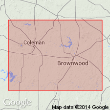
Pg. 74, pl. 27. Chaffin limestone member of Thrifty formation. Drake (1893) traced the Chaffin limestone across Coleman and Brown Counties, central Texas. From vicinity of Home Creek northward, he found two limestones and called the lower one the lower Chaffin limestone. The lower Chaffin is here correlated with Breckenridge limestone member. The generally persistent upper part of Chaffin limestone member has been variously called Breckenridge limestone (Plummer and Moore), Upper Crystal Falls limestone (Hudnall and Pirtle, 1929, Geol. map Coleman Co.; 1931, Geol. map Brown Co.), Chaffin limestone (Sellards, 1933, Univ. Texas Bull. 3232), Breckenridge limestone (Bullard and Cuyler, 1935, Univ. Texas Bull. 3501), and Crystal Falls limestone (Cheney, 1950, Abilene Geol. Soc. Gdbk. Nov. 2-4). Chaffin limestone member immediately south of Colorado River ranges from about 15 feet in thickness at Chaffin mines to about 7 feet at Waldrip. At this locality, it is a slabby irregularly bedded gray limestone, stained purplish red. Contains abundant fusulinids and thin wavy structures of clear calcite. These structures characterize bed over most of Coleman County. Thins northward. Average thickness 1 to 2 feet in Brown County. Overlies Parks Mountain sandstone member; underlies Waldrip shale member of Pueblo formation.
Source: US geologic names lexicon (USGS Bull. 1200, p. 704-705).
For more information, please contact Nancy Stamm, Geologic Names Committee Secretary.
Asterisk (*) indicates published by U.S. Geological Survey authors.
"No current usage" (†) implies that a name has been abandoned or has fallen into disuse. Former usage and, if known, replacement name given in parentheses ( ).
Slash (/) indicates name conflicts with nomenclatural guidelines (CSN, 1933; ACSN, 1961, 1970; NACSN, 1983, 2005, 2021). May be explained within brackets ([ ]).

