- Usage in publication:
-
- Bear Bluff Formation
- Modifications:
-
- Original reference
- Dominant lithology:
-
- Sand
- Limestone
- AAPG geologic province:
-
- Atlantic Coast basin
Summary:
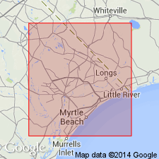
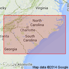
Bear Bluff Formation named in east-central SC. Extends to NC. Consists gray to cream, fossiliferous, coarse-grained calcareous sand, and sandy limestone. 3 m thick at type section along Waccamaw River; ranges from 3 to 45 m. Unconformably overlies Peedee Formation; underlies Canepatch, Conway, or Waccamaw Formation. Age is Pliocene.
Source: GNU records (USGS DDS-6; Reston GNULEX).
- Usage in publication:
-
- Bear Bluff Formation
- Modifications:
-
- Principal reference
- AAPG geologic province:
-
- Atlantic Coast basin
- Usage in publication:
-
- Bear Bluff Formation*
- Modifications:
-
- Adopted
- AAPG geologic province:
-
- Atlantic Coast basin
Summary:
Bear Bluff Formation of DuBar (1969) and DuBar and others (1974) adopted by the USGS. Unconformably overlies Pedee Formation; unconformably underlies Canepatch or Waccamaw Formation. Age is late Pliocene.
[Recognized in northeastern SC and southeastern NC.]
Source: Changes in stratigraphic nomenclature, 1979 (USGS Bull. 1502-A, p. A6-A7).
- Usage in publication:
-
- Bear Bluff Formation
- Modifications:
-
- Areal extent
- AAPG geologic province:
-
- Atlantic Coast basin
Summary:
The Bear Bluff Formation of northeastern SC and southeastern NC correlates with the Chowan River Formation of northeastern NC and southeastern VA. Consists of two lithofacies: shelly sands and sandy calcarenite. Contains only calcitic mollusks as preserved fossils. Aragonitic taxa occur as molds and casts in sandy calcarenite. In some areas, the Bear Bluff overlies Upper Cretaceous beds, and elsewhere it overlies the late Pliocene Raysor or Duplin Formations. Unit is unconformably overlain by the Waccamaw Formation in SC and its correlative James City Formation in NC. Age is late Pliocene.
Source: GNU records (USGS DDS-6; Reston GNULEX).
- Usage in publication:
-
- Bear Bluff†
- Modifications:
-
- Abandoned
- AAPG geologic province:
-
- Atlantic Coast basin
Summary:
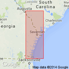
The definition of the Bear Bluff Formation by DuBar and others (1974) includes a variety of lithologies, including a limestone at Lake Waccamaw and aragonitic shell beds. Recent study of the type locality of the Bear Bluff has revealed 27 molluscan species, including 19 wide-ranging species which occur in the Waccamaw Formation, type Duplin Formation, Raysor Marl, and upper Goose Creek Limestone; seven species which occur in the type Duplin Formation, Raysor Marl, and upper Goose Creek Limestone; and one subspecies restricted to the upper Goose Creek. Author concludes that the upper Goose Creek Limestone and the type Bear Bluff are the same unit based on faunal and lithologic similarity and recommends that the Bear Bluff Formation be abandoned.
Source: GNU records (USGS DDS-6; Reston GNULEX).
- Usage in publication:
-
- Bear Bluff Formation*
- Modifications:
-
- Biostratigraphic dating
- AAPG geologic province:
-
- Atlantic Coast basin
Summary:
Bear Bluff Formation of southeastern NC and northeastern SC lies above Duplin Formation and is equivalent to Cypresshead Formation of GA. Cypresshead lies above Raysor Formation. Bear Bluff is equivalent to Nashua Formation of northeastern FL. Bear Bluff, Cypresshead, and Nashua are equivalent to Zone PL5 of Berggren (1973) and are assigned a late Pliocene age.
Source: GNU records (USGS DDS-6; Reston GNULEX).
For more information, please contact Nancy Stamm, Geologic Names Committee Secretary.
Asterisk (*) indicates published by U.S. Geological Survey authors.
"No current usage" (†) implies that a name has been abandoned or has fallen into disuse. Former usage and, if known, replacement name given in parentheses ( ).
Slash (/) indicates name conflicts with nomenclatural guidelines (CSN, 1933; ACSN, 1961, 1970; NACSN, 1983, 2005, 2021). May be explained within brackets ([ ]).

