- Usage in publication:
-
- Wah Wah Summit Formation
- Modifications:
-
- Named
- Dominant lithology:
-
- Limestone
- Dolomite
- AAPG geologic province:
-
- Great Basin province
Summary:
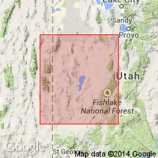
Named after highway pass in middle of Wah Wah Mountains, western UT. Type located 14 km north of highway pass along west foothills of Wah Wahs in NE1/4 sec 23, T25S, R16W, Millard Co, UT, Great Basin province. Unit also occurs in southern House and Cricket Ranges. Divided into ledgy (lower) and white marker (upper) members. Ledgy member forms ledges and cliffs rising steeply above underlying Fish Springs Member (new) of Trippe Limestone. Ledgy member is 251 m thick at type; here lower 105 m is mostly light-gray, fine-grained massive limestone with small rods of white calcite interbedded with dark-gray mottled limestone and dolomite; upper 146 m is mostly mottled dolomitic limestone with pisolites common in lower half. White marker member forms slopes and is 48 m thick at type; here it consists of light-gray laminated dolomite and limestone, making up nearly one-third of member, and is interbedded with mottled limestone beds 1-2 m thick. Wah Wah Summit is extensively marbleized around intrusions in pass area. Underlies Orr Formation. Correlates (chart) with Lamb Dolomite, Deep Creek, Fish Springs, northern House and Dugway Ranges; part of Weeks Limestone, central House Range; upper part of Cole Canyon Dolomite and lower part of Opex Formation, East Tintic Mountains; all in western UT. Correlates with upper part of Highland Peak Formation, Pioche, NV. Assigned to trilobite CREPICEPHALUS and CEDARIA Zones, undivided (Upper Cambrian).
Source: GNU records (USGS DDS-6; Denver GNULEX).

- Usage in publication:
-
- Wah Wah Summit Formation*
- Modifications:
-
- Revised
- AAPG geologic province:
-
- Great Basin province
Summary:
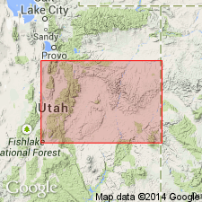
Underlies Big Horse Limestone Member (new), basal member of Orr Formation in the Wah Wah Mountains, UT in Great Basin province. Is of Late Cambrian age.
Source: GNU records (USGS DDS-6; Denver GNULEX).
For more information, please contact Nancy Stamm, Geologic Names Committee Secretary.
Asterisk (*) indicates published by U.S. Geological Survey authors.
"No current usage" (†) implies that a name has been abandoned or has fallen into disuse. Former usage and, if known, replacement name given in parentheses ( ).
Slash (/) indicates name conflicts with nomenclatural guidelines (CSN, 1933; ACSN, 1961, 1970; NACSN, 1983, 2005, 2021). May be explained within brackets ([ ]).

