

- Usage in publication:
-
- Turner sandy member*
- Modifications:
-
- Named
- Dominant lithology:
-
- Sandstone
- Shale
- Siltstone
- AAPG geologic province:
-
- Williston basin
- Powder River basin
Summary:
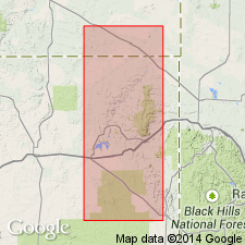
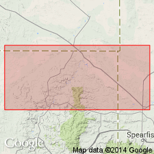
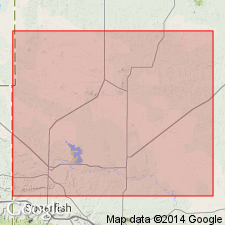
Named as middle of three members (lowermost member is unnamed) of Carlile shale for exposures along Turner Creek in T46 and 47N, R64W, Weston Co, WY in Powder River basin. Type section not given. Crops out along west side of Black Hills in northeastern WY and southeastern MT in Powder River and Williston basins. Consists of more or less sandy shale and siltstone with iron-stained concretions. Persistent thin beds of sandstone, locally conglomeratic and phosphatic and containing abundant shark teeth, in lower part. Marine fossils. Forms a minor scarp. A distinct faunal break and possible unconformity at base. Thickness 150-200 ft. Overlies unnamed lower member; underlies Sage Breaks shale member (new) of Niobara formation. Samples of upper Cretaceous shale, claystone, and marl, including a sample from Turner sandy member, compared for their mineralogy, chemical composition, grain size, density, porosity, fissility, and bedding laminations. Late Cretaceous in age.
Source: GNU records (USGS DDS-6; Denver GNULEX).
- Usage in publication:
-
- Turner sandy member*
- Modifications:
-
- Age modified
- AAPG geologic province:
-
- Williston basin
- Powder River basin
- Chadron arch
Summary:
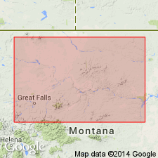
Member of Carlile shale in Great Plains region [Black Hills, SD and WY in Powder River and Williston basins and on Chadron arch]. Age shown as Late Cretaceous (Turonian).
Source: GNU records (USGS DDS-6; Denver GNULEX).
- Usage in publication:
-
- Turner sandy member*
- Modifications:
-
- Overview
- Biostratigraphic dating
- AAPG geologic province:
-
- Williston basin
- Powder River basin
Summary:
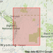
Member of Carlile shale in northern Black Hills, SD, WY, and MT in Powder River and Williston basins. Discusses lithology, correlation, and representative fossils. Shows faunal zonation in northern Black Hills. Overlies lower unnamed shale member unconformably; underlies Sage Breaks member. Late Cretaceous (Turonian) in age.
Source: GNU records (USGS DDS-6; Denver GNULEX).
- Usage in publication:
-
- Turner sandy member*
- Modifications:
-
- Biostratigraphic dating
- Overview
- AAPG geologic province:
-
- Powder River basin
- Williston basin
Summary:
Member of Carlile shale. Lists index fossils and discusses their stratigraphic and geographic distribution in the Powder River basin and southernmost part of Williston basin. Shows faunal zonation. Late Cretaceous (Turonian) in age.
Source: GNU records (USGS DDS-6; Denver GNULEX).
- Usage in publication:
-
- Turner sandy member*
- Modifications:
-
- Mapped 1:48k
- Overview
- Revised
- AAPG geologic province:
-
- Powder River basin
- Williston basin
Summary:
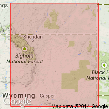
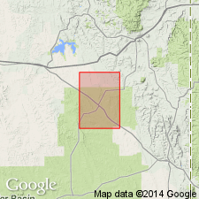
Mapped as middle member of three members of Carlile shale in western and eastern Crook Co, WY, Powder River basin and west-central and southwestern Butte Co, SD, Williston basin. Carlile assigned to Colorado group. Consists of dark shale with many limestone concretions and lenses of light-gray sandstone and sandy shale; locally contains lenses of phosphatic nodules and intraformational shale pebbles. Near Belle Fourche, SD, unit is 260 ft thick; thins westward to about 150 ft. Measured sections; geologic map; columnar section. Overlies newly named Pool Creek shale member of Carlile; underlies Sage Breaks member of Carlile. Late Cretaceous age.
Source: GNU records (USGS DDS-6; Denver GNULEX).
- Usage in publication:
-
- Turner Sandy Member*
- Modifications:
-
- Mapped 1:62.5k
- Overview
- AAPG geologic province:
-
- Powder River basin
Summary:
Mapped as middle of three members of Carlile Shale. Outcrops as narrow band striking northwest along Black Hills monocline, Powder River basin. [Also mapped in nearby Fanny Peak quad (Brobst, Epstein, 1963, USGS Bull. 1063-I), Inyan Kara Mountain quad (Mapel, Pillmore, 1963, USGS Bull. 1121-M), and Newcastle area (Maple, Pillmore, 1963, USGS Bull. 1141-N.] Consists mostly of dark-gray shale interlaminated with very light-gray siltstone and some thin beds of very fine grained light-gray sandstone that weathers brown; at base is distinctive ledge-forming bed 2-6 ft thick of fine-to medium-grained calcareous sandstone that contains granules and small pebbles of chert and abundant fish teeth; unit characterized by beds of tabular silty limestone concretions. Thickness is about 185 ft in outcrops near Thornton dome and remains about the same throughout quad based on electric logs. Measured section; generalized stratigraphic column. Overlies Pool Creek Shale Member of Carlile; underlies Sage Breaks Shale Member of Carlile. Fossil zones represented include SCAPHITES WARRENI and SCAPHITES CORVENSIS. Late Cretaceous age.
Source: GNU records (USGS DDS-6; Denver GNULEX).
- Usage in publication:
-
- Turner sandy member*
- Modifications:
-
- Mapped 1:96k
- Overview
- Dominant lithology:
-
- Shale
- Siltstone
- Sandstone
- AAPG geologic province:
-
- Powder River basin
Summary:
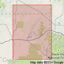
Mapped as middle of three members (lower member is unnamed) of Carlile shale along flanks of Black Hills uplift, WY and MT, Powder River basin. Consists of gray sandy shale and siltstone with numerous beds of light-yellow- or reddish-brown-weathering silty and ferruginous limestone concretions; light-gray fine- to coarse-grained calcareous sandstone, locally conglomeratic, up to 5 ft thick at base. Thickness is 150-260 ft. Fossil list; measured sections; stratigraphic chart. Overlies lower unnamed member of Carlile; underlies Sage Breaks member of Carlile. Late Cretaceous age.
Source: GNU records (USGS DDS-6; Denver GNULEX).
- Usage in publication:
-
- Turner Sandy Member*
- Modifications:
-
- Biostratigraphic dating
- AAPG geologic province:
-
- Powder River basin
Summary:
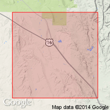
Extends from depth of 85-140 m in cored borehole in Osage oilfield on west flank of Black Hills, SWNW sec 30, T46N, R63W, Weston Co, WY, Powder River basin. Is middle of three members of Carlile Shale. Consists of interbedded fine- to very fine grained sandstone, siltstone, and noncalcareous shale with sandy or silty limestone concretions. Fig. 1 shows ranges of bivalves and ammonites from cores. Fossils representing zones SCAPHITES WARRENI to S. NIGRICOLLENSIS (upper Turonian) are present. Overlies Pool Creek Member of Carlile; underlies Sage Breaks Member of Carlile. Fossil list.
Source: GNU records (USGS DDS-6; Denver GNULEX).
- Usage in publication:
-
- Turner Sandy Member*
- Modifications:
-
- Age modified
- Biostratigraphic dating
- AAPG geologic province:
-
- Williston basin
Summary:
Is member of the Carlile Shale of SD in southern Williston basin. Ammonites collected in Butte Co, SD place unit in the upper Turonian SCAPHITES WHITFIELDI zone. New species S. BOREALIS described from the Turner Sandy Member is also noted to occur in Morden Shale, Vermilion River, southern Manitoba, CN. Age is refined to late Turonian (Late Cretaceous).
Source: GNU records (USGS DDS-6; Denver GNULEX).

- Usage in publication:
-
- Turner Sandy Member*
- Modifications:
-
- Areal extent
- AAPG geologic province:
-
- Powder River basin
Summary:
Carlile Shale divided into (ascending): Pool Creek, Turner Sandy, and Sage Breaks Members in the subsurface on the east side of the Powder River basin (Converse, eastern Campbell, Crook, Weston, and Niobrara Cos, WY and Powder River Co, MT). In the Powder River basin subsurface west of where the Greenhorn Formation beneath the Carlile and west of where the Pool Creek and Turner Sandy Members can be identified, the name Frontier Formation is applied to the post-Mowry pre-Sage Breaks rocks. The Clay Spur Bentonite Bed is the uppermost bed of the Mowry. The Sage Breaks which lies above the Frontier is raised to formation rank in the west side of the basin. Sage Breaks unconformably underlies Niobrara Formation. Of Late Cretaceous age. [Name used on 22 cross sections in this OC series.]
Source: GNU records (USGS DDS-6; Denver GNULEX).
- Usage in publication:
-
- Turner Sandy Member*
- Modifications:
-
- Overview
- AAPG geologic province:
-
- Powder River basin
Summary:
Middle of three members of Carlile Shale. Occurs along eastern flank of Powder River basin; consists of shale, siltstone, and minor sandstone. Outcrops commonly form persistent low ridges. Thins southward from 56-79 m on northern flank of Black Hills to 45-49 m in eastern Niobrara Co; thickness varies from about 24 to 90 m. Stratigraphic and biostratigraphic charts; cross sections; geophysical log. Disconformably overlies Pool Creek Member of Carlile; conformably underlies Sage Breaks Member of Carlile. Contains various trace fossils including OPHIOMORPHA, THALASSINOIDES, and RHIZOCORALLIUM. Also contains fossil palynomorphs, foraminifers, and mollusks indicating late Turonian age.
Source: GNU records (USGS DDS-6; Denver GNULEX).
For more information, please contact Nancy Stamm, Geologic Names Committee Secretary.
Asterisk (*) indicates published by U.S. Geological Survey authors.
"No current usage" (†) implies that a name has been abandoned or has fallen into disuse. Former usage and, if known, replacement name given in parentheses ( ).
Slash (/) indicates name conflicts with nomenclatural guidelines (CSN, 1933; ACSN, 1961, 1970; NACSN, 1983, 2005, 2021). May be explained within brackets ([ ]).