- Usage in publication:
-
- Pride shale [member]
- Modifications:
-
- Named
- Dominant lithology:
-
- Shale
- AAPG geologic province:
-
- Appalachian basin
Summary:
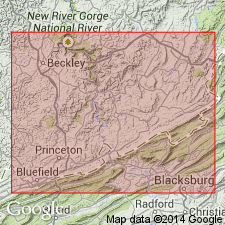
Named the Pride shale [member] of the Bluestone [formation] in WV and VA for Pride, Mercer Co., southeastern WV. Consists of greenish brown fissile sandy shale, often weathering into pencil-like forms. Thickness is 70 to 150 feet. Overlies the Princeton conglomerate or sandstone and underlies the Pipestem coal of the Bluestone [formation]. Unit is basal member of Bluestone. The Pride is of Mississippian age.
Source: GNU records (USGS DDS-6; Reston GNULEX).

- Usage in publication:
-
- Pride Shale Member*
- Modifications:
-
- Overview
- AAPG geologic province:
-
- Appalachian basin
Summary:
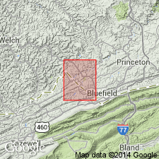
The Pride Shale Member of the Bluestone Formation consists of medium dark gray to dark gray, evenly bedded shale that locally grades into silty shale or is interlaminated with siltstone. Also contains ironstone nodules and lenses about 1/2 inch thick, and partly calcareous, greenish gray and grayish red shale at base. Thickness is 190 to 270 feet. Overlies the Princeton Sandstone and underlies the Glady Fork Sandstone Member of the Bluestone Formation. The Pride is of Late Mississippian age.
Source: GNU records (USGS DDS-6; Reston GNULEX).

- Usage in publication:
-
- Pride Shale Member
- Modifications:
-
- Areal extent
- AAPG geologic province:
-
- Appalachian basin
Summary:
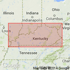
Pennington Group in eastern KY is divided into (ascending) Bluefield Formation, Hinton Formation, Princeton Sandstone, and Bluestone Formation, which author states are "informally projected" into the study area. Bluestone Formation includes the Pride Shale Member at its base, which is a distinctive unit of dark-gray shale and siltstone, useful as a stratigraphic marker. Age is this report is Late Mississippian.
Source: GNU records (USGS DDS-6; Reston GNULEX).

- Usage in publication:
-
- Pride Shale Member*
- Modifications:
-
- Overview
- AAPG geologic province:
-
- Appalachian basin
Summary:
Upper part of upper member of Pennington Formation is approximately equivalent to Pride Shale Member of Bluestone Formation. A fossil bed is common to both units.
Source: GNU records (USGS DDS-6; Reston GNULEX).

- Usage in publication:
-
- Pride Shale Member
- Modifications:
-
- Overview
- AAPG geologic province:
-
- Appalachian basin
Summary:
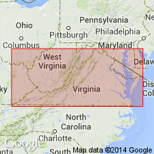
Pride Shale Member at the base of the Bluestone Formation consists of grayish-black shale that contains beds of siltstone, sandstone, and limestone. The member thins regionally in a northwesterly direction from 300 ft along the southeastern edge of the Appalachian plateaus to 60 ft in Pike Co., KY. Underlies an unnamed middle sandstone member in this report. Overlies the Princeton Sandstone or the Pratter Shale Member of the Hinton Formation. Southwest of Big Stone Gap and into Lee Co., intertongues with the Chadwell Member of the Lee Formation. Age is Late Mississippian (Chesterian).
Source: GNU records (USGS DDS-6; Reston GNULEX).
For more information, please contact Nancy Stamm, Geologic Names Committee Secretary.
Asterisk (*) indicates published by U.S. Geological Survey authors.
"No current usage" (†) implies that a name has been abandoned or has fallen into disuse. Former usage and, if known, replacement name given in parentheses ( ).
Slash (/) indicates name conflicts with nomenclatural guidelines (CSN, 1933; ACSN, 1961, 1970; NACSN, 1983, 2005, 2021). May be explained within brackets ([ ]).

