- Usage in publication:
-
- Mount Simon [sandstone]
- Modifications:
-
- Original reference
- Dominant lithology:
-
- Sandstone
- AAPG geologic province:
-
- Wisconsin arch
Summary:
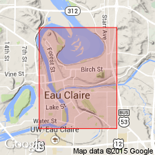
Pg. 354. Mount Simon [sandstone]. Ulrich ms., 1914. Series of coarse sandstones and grits 235+ feet thick. Underlies Eau Claire sandstone and overlies pre-Cambrian granite. About 225 feet shown in bluffs at Eau Claire and 50 feet of base at Chippewa Falls. No fossils except SCOLITHUS [SKOLITHOS] borings. Age is Late Cambrian.
Type locality: near Eau Claire, WI, where it forms an escarpment [called Mount Simon].
Source: US geologic names lexicon (USGS Bull. 896, p. 1444).
- Usage in publication:
-
- Mount Simon sandstone
- Modifications:
-
- Areal extent
- AAPG geologic province:
-
- Wisconsin arch
Summary:
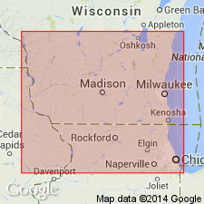
Pg. 553. Mount Simon sandstone. In central Wisconsin mainly coarse- to medium-grained gray or yellow sandstone with a few layers of green, blue, and red shale; farther south it is less coarse-grained; locally there are pink layers, the color being deepest in the fine-grained sands. Maximum thickness is 778 feet at Platteville, Wisconsin; 368 feet at Madison. Outcrops have thus far been studied only near Eau Claire, the type locality, where it forms an escarpment [called Mount Simon] which is capped by [10 feet of] Eau Claire shaly sandstone. It must be the basal Cambrian over a large area in central Wisconsin.
Source: US geologic names lexicon (USGS Bull. 896, p. 1444).

- Usage in publication:
-
- Mount Simon sandstone*
- Modifications:
-
- Overview
- AAPG geologic province:
-
- Wisconsin arch
- Sioux uplift
Summary:
Mount Simon sandstone. Recognized in southwestern Wisconsin and Minnesota. Age is Late Cambrian. Some recent reports include this sandstone in Dresbach formation (see 1934 and 1936 entries under Dresbach sandstone), but the USGS at present [ca. 1936] treats it as a distinct formation, unconformably overlying red clastic series. The 1935 reports cited above give thickness at Mount Simon 234 feet.
See 1935 entry under Hinckley sandstone.
Source: US geologic names lexicon (USGS Bull. 896, p. 1444).
- Usage in publication:
-
- Mount Simon member
- Modifications:
-
- Areal extent
- AAPG geologic province:
-
- Sioux uplift
Summary:
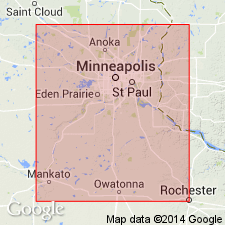
Pg. 1901-1902. Mount Simon member of Dresbach formation. Listed as basal member of Dresbach formation in Minnesota. Underlies Eau Claire member. Age is Late Cambrian.
Source: US geologic names lexicon (USGS Bull. 1200, p. 2641).
- Usage in publication:
-
- Mount Simon member
- Modifications:
-
- Areal extent
- AAPG geologic province:
-
- Sioux uplift
Summary:
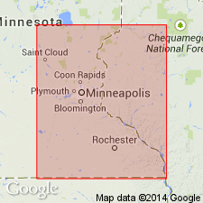
Pg. 30, 33, measured sections. Mount Simon member of Dresbach formation. In much of Minnesota, member overlies Hinckley sandstone. Thickness 80 to 200 feet. Outcrops confined to Pine County. Encountered in deep wells in southwestern part of state. Underlies Eau Claire member of Dresbach. Age is Late Cambrian (St. Croixan).
Source: US geologic names lexicon (USGS Bull. 1200, p. 2641).
- Usage in publication:
-
- Mount Simon sandstone
- Modifications:
-
- Revised
- AAPG geologic province:
-
- Wisconsin arch
Summary:
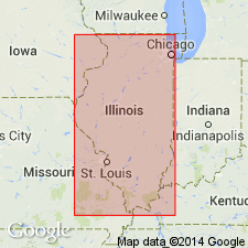
Pg. 151-159. Mount Simon sandstone. In subsurface in northern Illinois subdivided into (ascending) Crane, Kenyon, Lovell, Mayfield, Lacey, Gunn, and Charter members (all new). Unconformably overlies Precambrian basement; underlies Eau Claire. Thickness 400 to 2,120 feet.
Source: US geologic names lexicon (USGS Bull. 1200, p. 2641).
- Usage in publication:
-
- Mount Simon Formation
- Modifications:
-
- Overview
- AAPG geologic province:
-
- Wisconsin arch
Summary:
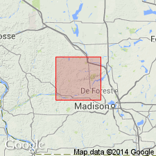
Only upper part of Mount Simon is exposed at the surface in Sauk Co., including 30-m exposure at Wisconsin Dells previously interpreted as Eau Claire by Trowbridge (1935) and as Wonewoc Formation by Dott and others (1986). Rest of unit is known only from drillholes. North of Baraboo Hills, unit is approximately 150 m thick; south of Hills probably ranges from 0 to 60 m or more. Consists primarily of medium sand, with considerable coarse sand and some fine sand. High angle cross-beds very evident in outcrop. Latest thinking (Dott and others, 1986) interprets origin as eolian based on presence of adhesion ripples. Assignment to Elk Mound Group is State usage.
Source: GNU records (USGS DDS-6; Reston GNULEX).
- Usage in publication:
-
- Mount Simon Sandstone
- Modifications:
-
- Overview
- AAPG geologic province:
-
- Michigan basin
Summary:
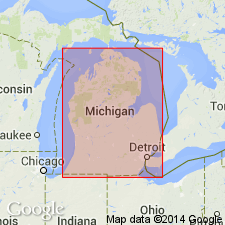
As defined in the Michigan basin, the Mount Simon consists of two sandstones, rather than the three divisions reported in WI. In order to maintain consistency, the entire sandstone sequence has been referred to the Mount Simon, regardless of glauconite content. Unit reaches a thickness of 420 m in the west-central portion of the basin. Unconformably overlies Middle Proterozoic basement in the central portion of the basin. In the northern Peninsula overlies Middle Proterozoic Jacobsville Sandstone. Underlies the Eau Claire Formation of the Munising Group in the central basin and underlies Munising Formation in the northern peninsula. Age is Late Cambrian.
Source: GNU records (USGS DDS-6; Reston GNULEX).
- Usage in publication:
-
- Mount Simon Sandstone*
- Modifications:
-
- Overview
- AAPG geologic province:
-
- Appalachian basin
Summary:
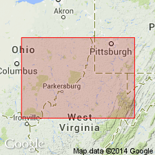
In cross section E-E', in the subsurface of east-central OH, Mount Simon Sandstone is used for a sandstone in the Waverly arch. Sandstone beds in the middle of the Maryville Limestone probably merge westward with sandstone of the Rome Formation. The uppermost of these sandstone beds becomes part of the Mount Simon Sandstone west of the Ohio-West Virginia hinge zone. Age is Late Cambrian.
Source: GNU records (USGS DDS-6; Reston GNULEX).
- Usage in publication:
-
- Mt. Simon Sandstone
- Modifications:
-
- Revised
- AAPG geologic province:
-
- Illinois basin
Summary:
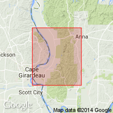
Humble Oil Co. No. 1 Pickel borehole in NW1/4SE1/4NW1/4 sec. 21, T31S, R2W, Mill Creek 7.5-minute quad penetrated Late Cambrian (St. Croixan Series) Mt. Simon Sandstone. Correlates with Lamotte Sandstone of MO. [Mt. Simon is Illinois State Geological Survey's preferred spelling. Assignment to Dresbach Group not used.]
Source: GNU records (USGS DDS-6; Reston GNULEX).
- Usage in publication:
-
- Mount Simon Sandstone*
- Modifications:
-
- Areal extent
- AAPG geologic province:
-
- Appalachian basin
Summary:
Geographically extended the Mount Simon Sandstone into the subsurface of WV on section F-F'. Unit occurs in the OH-WV hinge zone and the Waverly arch. Overlies metamorphic and igneous rocks of the Grenville orogenic belt and underlies the Maryville Limestone in the OH-WV hinge zone and the Rome Formation of Janssens (1973) in the Waverly arch. The Mount Simon is of Late Cambrian (Dresbachian) age.
Source: GNU records (USGS DDS-6; Reston GNULEX).
- Usage in publication:
-
- Mount Simon Sandstone*
- Modifications:
-
- Areal extent
- AAPG geologic province:
-
- Cincinnati arch
Summary:
Geographically extended the Mount Simon Sandstone into the subsurface of KY in the Cincinnati Arch, Waverly Arch, and Ohio-West Virginia hinge zone as shown in section G-G'. Unconformably overlies the Middle Run Formation in the Cincinnati Arch and metamorphic and igneous rocks of the Grenville orogenic belt elsewhere; underlies the Eau Claire Formation in the Cincinnati Arch and the Conasauga Formation elsewhere. The Mount Simon is of Late Cambrian (Dresbachian) age.
Source: GNU records (USGS DDS-6; Reston GNULEX).
- Usage in publication:
-
- Mount Simon Sandstone*
- Modifications:
-
- Revised
- AAPG geologic province:
-
- Illinois basin
Summary:
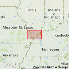
Deep boreholes in Paducah quad partially penetrate Cambrian (Croixan) Mount Simon Sandstone in IL or the correlative Lamotte Sandstone in MO. [Assignment to Dresbach Group is not used.]
Source: GNU records (USGS DDS-6; Reston GNULEX).
For more information, please contact Nancy Stamm, Geologic Names Committee Secretary.
Asterisk (*) indicates published by U.S. Geological Survey authors.
"No current usage" (†) implies that a name has been abandoned or has fallen into disuse. Former usage and, if known, replacement name given in parentheses ( ).
Slash (/) indicates name conflicts with nomenclatural guidelines (CSN, 1933; ACSN, 1961, 1970; NACSN, 1983, 2005, 2021). May be explained within brackets ([ ]).

