- Usage in publication:
-
- Maybelle limestone
- Modifications:
-
- Original reference
- Dominant lithology:
-
- Limestone
- AAPG geologic province:
-
- Bend arch
Summary:
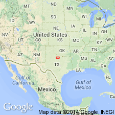
Pg. 74. In Baylor and Archer Counties, central northern Texas, the Wichita group (Clyde formation?) is topped by a scarp-forming limestone known locally as Maybelle limestone. This and lower members of this limestone belt are continuous with Lueders. [Age is Permian.]
[Origin of name unknown.]
Source: US geologic names lexicon (USGS Bull. 896, p. 1325).
- Usage in publication:
-
- Maybelle limestone
- Modifications:
-
- Revised
- AAPG geologic province:
-
- Bend arch
Summary:
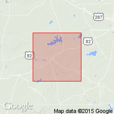
Maybelle limestone, a member of Lueders formation, lies 45 feet below Lake Kemp limestone, the top member of Lueders formation. [Age is Permian.]
Source: US geologic names lexicon (USGS Bull. 896, p. 1325).

- Usage in publication:
-
- Maybelle limestone
- Modifications:
-
- Areal extent
- AAPG geologic province:
-
- Bend arch
Summary:
Pg. 169, 174. Maybelle limestone is a member of Lueders formation, east of Lake Kemp, Baylor County, central northern Texas. [Age is Permian.]
Source: US geologic names lexicon (USGS Bull. 896, p. 1325).
- Usage in publication:
-
- Maybelle formation
- Modifications:
-
- Revised
- AAPG geologic province:
-
- Bend arch
Summary:
Pg. 66 (fig. 1). Maybelle formation of Lueders group. Maybelle given formational status in the Lueders herein designated as a group. Underlies Lake Kemp formation; overlies Paint Rock limestone. [Age is Early Permian (Leonard).]
Source: US geologic names lexicon (USGS Bull. 1200, p. 2430).
- Usage in publication:
-
- Maybelle limestone
- Modifications:
-
- Not used
- AAPG geologic province:
-
- Bend arch
Summary:
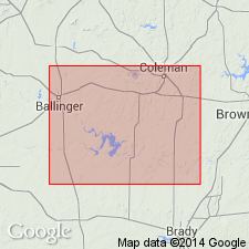
Sheet 2. Maybelle limestone. Examination of type outcrops of Maybelle and Lake Kemp beds affords no satisfactory ground for classing the limestones as parts of the Lueders. No basis was found for recognizing any limestone beds of the Lueders in the Colorado River area [mapped in this report] as corresponding to Maybelle and Lake Kemp beds, respectively.
Source: US geologic names lexicon (USGS Bull. 1200, p. 2430).
- Usage in publication:
-
- Maybelle Limestone
- Modifications:
-
- Mapped
- AAPG geologic province:
-
- Bend arch
- Palo Duro basin
Summary:
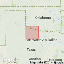
Maybelle Limestone. White to gray, fine-grained, argillaceous limestone interbedded with tan to gray shale, up to 12 feet thick. Occurs at base of Lueders Formation of Albany Group (Baylor Co.) and in upper part of Waggoner Ranch Formation of Wichita Group (new; Wilbarger Co.). Age is Early Permian (Leonard).
Source: Publication.
For more information, please contact Nancy Stamm, Geologic Names Committee Secretary.
Asterisk (*) indicates published by U.S. Geological Survey authors.
"No current usage" (†) implies that a name has been abandoned or has fallen into disuse. Former usage and, if known, replacement name given in parentheses ( ).
Slash (/) indicates name conflicts with nomenclatural guidelines (CSN, 1933; ACSN, 1961, 1970; NACSN, 1983, 2005, 2021). May be explained within brackets ([ ]).

