- Usage in publication:
-
- Max Patch granite*
- Modifications:
-
- Named
- Dominant lithology:
-
- Granite
- AAPG geologic province:
-
- Piedmont-Blue Ridge province
- Appalachian basin
Summary:
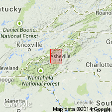
Max Patch granite named in Madison Co., western NC, where it surrounds Max Patch Mountain. Described as almost wholly coarse granite, in places porphyritic and in places uniform in grain. The minerals are orthoclase, and plagioclase feldspar, quartz, biotite, and a little muscovite. The porphyritic varieties are light gray or dull white. Another variety of great extent is a coarse red granite, which appears to be a modification of the usual massive rock. Intrudes Cranberry granite and the older gneisses. Age is Precambrian.
Source: GNU records (USGS DDS-6; Reston GNULEX).

- Usage in publication:
-
- Max Patch granite gneiss
- Modifications:
-
- Revised
- AAPG geologic province:
-
- Piedmont-Blue Ridge province
Summary:
Max Patch granite of Keith (1904) revised as Max Patch granite gneiss. Unit has been so completely metamorphosed that most of it has a gneissic to schistose structure, and little, if any, true granite remains unaltered. Porphyritic variety of unit has been altered to augen gneiss, whereas the even-grained variety has been altered to gneiss or schist. Age given as Precambrian(?). [All subsequent reports by other authors refer to unit as a granite.]
Source: GNU records (USGS DDS-6; Reston GNULEX).

- Usage in publication:
-
- Max Patch Granite*
- Modifications:
-
- Overview
- Areal extent
- AAPG geologic province:
-
- Appalachian basin
- Piedmont-Blue Ridge province
Summary:
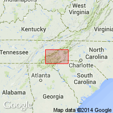
Max Patch Granite mapped undivided with Cranberry Gneiss in Blue Ridge belt northwest of Greenbrier-Devils Fork fault, and with Cranberry Gneiss, Wilson Creek Gneiss, and other related granitic rocks southeast of the fault. Combined rocks shown in wide, discontinuous belt across easternmost TN and western NC, just southwest of Great Smoky Mountains, underlying Walnut Mountains and Pisgah National Forest. Max Patch and Cranberry described as biotite augen gneiss, gneissic granite and quartz monzonite, and minor paragneiss and migmatite. Max Patch, Cranberry, Wilson Creek, and related rocks consist of biotite augen gneiss and gneissic granite and quartz monzonite; includes small areas of mafic or calc-alkaline migmatite gneiss and inclusions of metagabbro or diorite; all rocks are variably foliated or blastomylonitic. Age is middle Precambrian.
Source: GNU records (USGS DDS-6; Reston GNULEX).

- Usage in publication:
-
- Max Patch Granite*
- Modifications:
-
- Age modified
- AAPG geologic province:
-
- Appalachian basin
- Piedmont-Blue Ridge province
Summary:
Age changed to Late Proterozoic to match usage of Brown and others (1985) for the North Carolina State Geologic Map.
Source: GNU records (USGS DDS-6; Reston GNULEX).
For more information, please contact Nancy Stamm, Geologic Names Committee Secretary.
Asterisk (*) indicates published by U.S. Geological Survey authors.
"No current usage" (†) implies that a name has been abandoned or has fallen into disuse. Former usage and, if known, replacement name given in parentheses ( ).
Slash (/) indicates name conflicts with nomenclatural guidelines (CSN, 1933; ACSN, 1961, 1970; NACSN, 1983, 2005, 2021). May be explained within brackets ([ ]).

