- Usage in publication:
-
- Logana bed
- Modifications:
-
- Named
- Dominant lithology:
-
- Limestone
- AAPG geologic province:
-
- Cincinnati arch
Summary:
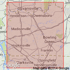
Named the Logana Bed of Lexington Limestone for Logana Station on L & A RR. Type locality is vicinity of Logana Station (now abandoned). Argillaceous limestone, very fossiliferous. 10 ft thick.
Source: GNU records (USGS DDS-6; Reston GNULEX).
- Usage in publication:
-
- Logana Member
- Modifications:
-
- Revised
- AAPG geologic province:
-
- Cincinnati arch
Summary:
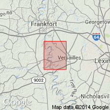
Rank reduced to Logana Member of Lexington Limestone. Underlain by Curdsville Limestone Member, overlain by Grier Limestone Member. Thin- to thick-bedded, gray, fine- to medium-grained limestone with interbedded shale in upper and lower parts. Most of limestone is brachiopodal. 17-24 ft thick.
Source: GNU records (USGS DDS-6; Reston GNULEX).
- Usage in publication:
-
- Logana Member
- Modifications:
-
- Areal extent
- AAPG geologic province:
-
- Cincinnati arch
Summary:
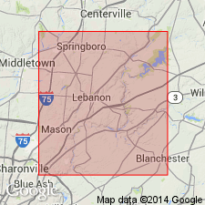
Nomenclature of the Lexington in this report follows Stith (1986: OH Rept. Inv. 132) who extended the Curdsville and Logana Members to OH. Upper Lexington is undifferentiated and gradationally underlies Point Pleasant Formation in southwestern OH.
Source: GNU records (USGS DDS-6; Reston GNULEX).
- Usage in publication:
-
- Logana Member*
- Modifications:
-
- Overview
- AAPG geologic province:
-
- Cincinnati arch
Summary:
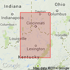
The Logana Member of the Lexington Limestone in KY consists of interbedded dark, argillaceous calcisiltite and brownish gray, calcareous and dolomitic shale. Unit is generally unfossiliferous, but a few beds contain mollusks and brachiopods. Thickness is 50 feet in central KY and thins to the south. Overlies the Curdsville Limestone Member and underlies the Grier Limestone Member, both of the Lexington Limestone. The environment of deposition is interpreted to be deeper, quiet water with poor oxygenation.
Source: GNU records (USGS DDS-6; Reston GNULEX).
- Usage in publication:
-
- Logana Member*
- Modifications:
-
- Age modified
- AAPG geologic province:
-
- Cincinnati arch
Summary:
Logana Member of Lexington Limestone is Champlainian (Kirkfieldian) in age.
Source: GNU records (USGS DDS-6; Reston GNULEX).
For more information, please contact Nancy Stamm, Geologic Names Committee Secretary.
Asterisk (*) indicates published by U.S. Geological Survey authors.
"No current usage" (†) implies that a name has been abandoned or has fallen into disuse. Former usage and, if known, replacement name given in parentheses ( ).
Slash (/) indicates name conflicts with nomenclatural guidelines (CSN, 1933; ACSN, 1961, 1970; NACSN, 1983, 2005, 2021). May be explained within brackets ([ ]).

