- Usage in publication:
-
- Laurel bed
- Modifications:
-
- Named
- Dominant lithology:
-
- Limestone
- AAPG geologic province:
-
- Cincinnati arch
Summary:
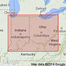
Named Laurel bed. Typically is well bedded white or bluish-white limestone. Contains sparse to abundant chert beds intercalated between limestone layers. North of Osgood, Ripley Co., IN, basal portion is richly fossiliferous and is referred to as the Osgood phase. Underlain by Clinton rock or Montgomery rock. Overlain by Waldron shales.
Source: GNU records (USGS DDS-6; Reston GNULEX).
- Usage in publication:
-
- Laurel limestone
- Modifications:
-
- Revised
- AAPG geologic province:
-
- Cincinnati arch
Summary:
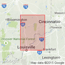
Lower part of original Laurel limestone as defined by Foerste (1896), which contains much clayey shale and referred to as the Osgood phase, here separated as a distinct unit and called the Osgood beds. Laurel limestone name retained for remaining upper part.
Source: GNU records (USGS DDS-6; Reston GNULEX).
- Usage in publication:
-
- Laurel dolomite
- Modifications:
-
- Revised
- AAPG geologic province:
-
- Cincinnati arch
Summary:
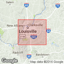
Designated Laurel dolomite. Composed of dolomite. Very poor in fossils. 35 to 40 ft thick. Conformably overlies Osgood formation; overlain by Waldron shale.
Source: GNU records (USGS DDS-6; Reston GNULEX).
- Usage in publication:
-
- Laurel member
- Modifications:
-
- Overview
- AAPG geologic province:
-
- Cincinnati arch
Summary:
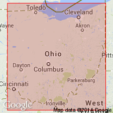
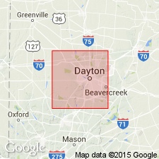
Designated Laurel member of Alger Formation. Composed of finely crystalline, dense and hard dolomite. Dominant color is gray or bluish gray. Rather evenly bedded in thin to medium layers. Locally contains considerable chert and some or much pyrite. Fossils common. Ranges from 5 to 9 ft thick in OH. Underlain by Osgood member; overlain by Massie member.
Source: GNU records (USGS DDS-6; Reston GNULEX).
- Usage in publication:
-
- Laurel member
- Modifications:
-
- Areal extent
- AAPG geologic province:
-
- Cincinnati arch
Summary:
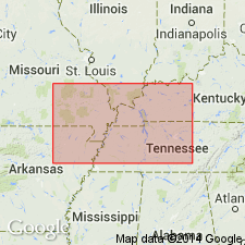
Laurel lithology recognized in Bainbridge formation in southeast Missouri; designated Laurel member.
Source: GNU records (USGS DDS-6; Reston GNULEX).
- Usage in publication:
-
- Laurel dolomite*
- Modifications:
-
- Revised
- AAPG geologic province:
-
- Cincinnati arch
Summary:
Designated Laurel dolomite. Average thickness 5 ft. Overlies Osgood formation; underlies Euphemia dolomite. Niagaran age.
Source: GNU records (USGS DDS-6; Reston GNULEX).
- Usage in publication:
-
- Laurel limestone
- Modifications:
-
- Revised
- AAPG geologic province:
-
- Cincinnati arch
Summary:
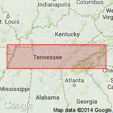
Pg. 248-249. Laurel limestone of Wayne group. Included in Wayne group. In central Tennessee, uniformly bedded limestone with beds that range from a few inches to a foot or more in thickness. Fine-grained and light-gray with varying amounts of red and pink grains; locally entirely dolomitic; in some areas, contains silt, also may be oolitic at top. Average thickness 30 feet. Conformably overlies Osgood formation; conformably underlies Waldron shale or unconformably underlies Chattanooga shale. [Age is Middle Silurian.]
Source: US geologic names lexicon (USGS Bull. 1200, p. 2117-2118).
- Usage in publication:
-
- Laurel Member
- Modifications:
-
- Revised
- AAPG geologic province:
-
- Cincinnati arch
Summary:
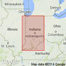
Salamonie Dolomite (defined by Pinsak and Shaver, 1964), which includes all strata between the Brassfield Limestone and the Waldron Shale and which is the span of the Osgood Formation and Laurel Limestone, is extended from northern IN into southern IN. The Osgood and Laurel are reduced in rank to members of the Salamonie.
Source: GNU records (USGS DDS-6; Reston GNULEX).
- Usage in publication:
-
- Laurel Dolomite*
- Modifications:
-
- Overview
- AAPG geologic province:
-
- Cincinnati arch
Summary:
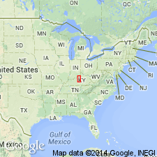
Comprehensive description of Laurel Dolomite exposed on west side of Cincinnati Arch in KY.
Source: GNU records (USGS DDS-6; Reston GNULEX).
- Usage in publication:
-
- Laurel Formation*
- Modifications:
-
- Revised
- Biostratigraphic dating
- AAPG geologic province:
-
- Cincinnati arch
Summary:
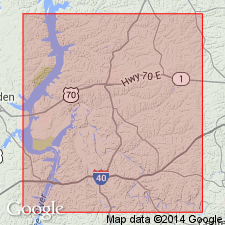
Used as Laurel Formation of Wayne Group in du Pont Geohydrological Survey well near Waverly, Humphreys Co., central TN. Highest conodont collection in Llandoverian to early Wenlockian interval (732.1 to 733.5 ft, Laurel Formation) has one specimen of an early form of OZARKODINA EXCAVATA resembling OZ. E. EOSILURICA Bischoff which, in Australia, ranges from early Llandoverian to earliest(?) Wenlockian (Bischoff, 1986).
Source: GNU records (USGS DDS-6; Reston GNULEX).
For more information, please contact Nancy Stamm, Geologic Names Committee Secretary.
Asterisk (*) indicates published by U.S. Geological Survey authors.
"No current usage" (†) implies that a name has been abandoned or has fallen into disuse. Former usage and, if known, replacement name given in parentheses ( ).
Slash (/) indicates name conflicts with nomenclatural guidelines (CSN, 1933; ACSN, 1961, 1970; NACSN, 1983, 2005, 2021). May be explained within brackets ([ ]).

