

- Usage in publication:
-
- Lake Fork andesite*
- Modifications:
-
- Redefined
- Dominant lithology:
-
- Andesite
- Breccia
- AAPG geologic province:
-
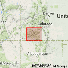
- Piceance basin
Summary:
[Credited to Larsen.] Changed name to Lake Fork andesite. [Age is Miocene(?).]
Source: US geologic names lexicon (USGS Bull. 896, p. 1135).
- Usage in publication:
-
- Lake Fork Formation*
- Modifications:
-
- Age modified
- Redescribed
- AAPG geologic province:
-
- Piceance basin
Summary:
Redescribed from Lake Fork Quartz Latite to Lake Fork Formation because formation contains a heterogeneous assemblage of units (gravel and andesitic flows, breccia and pyroclastic rocks, rhyodacitic lava, tuff) rather than quartz latite. Ranges from 0 to 1,600 ft in Gateview quad; thickens to about 4,000 ft 5 mi south of Gateview. Age changed from Miocene to Oligocene and older. Used near Lake Fork of the Gunnison River in Piceance basin. Formed at same time as Conejos Quartz Latite in San Luis basin, and as the West Elk Breccia of the West Elk area of Piceance basin.
Source: GNU records (USGS DDS-6; Denver GNULEX).
- Usage in publication:
-
- Lake Fork Formation*
- Modifications:
-
- Geochronologic dating
- AAPG geologic province:
-
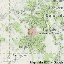
- San Juan Mountains province
Summary:
Interfingers with mudflow breccias of San Juan Formation. Shown as an early Oligocene unit equivalent to Picayune Formation (also a vent facies). A lava flow in the Lake Fork has a 31.4 m.y. age.
Source: GNU records (USGS DDS-6; Denver GNULEX).
For more information, please contact Nancy Stamm, Geologic Names Committee Secretary.
Asterisk (*) indicates published by U.S. Geological Survey authors.
"No current usage" (†) implies that a name has been abandoned or has fallen into disuse. Former usage and, if known, replacement name given in parentheses ( ).
Slash (/) indicates name conflicts with nomenclatural guidelines (CSN, 1933; ACSN, 1961, 1970; NACSN, 1983, 2005, 2021). May be explained within brackets ([ ]).