

- Usage in publication:
-
- Dagmar limestone*
- Modifications:
-
- Original reference
- Dominant lithology:
-
- Limestone
- AAPG geologic province:
-
- Great Basin province
- South Western Overthrust
Summary:
Dagmar limestone. Argillaceous limestone, medium- to dark-gray on fresh fracture, yellowish to grayish white on weathered surface; some parts finely banded; others consist of alternating lenses or layers of dense and oolitic rock of medium gray color. Distinct horizon marker. Thickness 75 to 100 feet. Underlies Herkimer limestone and overlies Teutonic limestone. Age is Middle Cambrian.
Named from Dagmar Mine, Tintic district, central northern UT. [Dagmar Mine, Lat. 39 deg. 57 min. 31 sec. N., Long. 112 deg. 08 min. 14 sec. W., western edge of sec. 13, T. 10 S., R. 3 W., Tintic Junction 7.5-min quadrangle, Juab Co., UT.]
Source: US geologic names lexicon (USGS Bull. 896, p. 565).
- Usage in publication:
-
- Dagmar limestone
- Modifications:
-
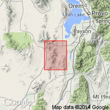
- Areal extent
- AAPG geologic province:
-
- Great Basin province
- South Western Overthrust
Summary:
Pg. 5 (fig. 2), 6-7. Dagmar limestone. In East Tintic Mountains, consists of dense medium- to light-gray laminated dolomitic limestone that weathers creamy white. Thickness 75 to 100 feet. Underlies Herkimer limestone, contact sharp; overlies Teutonic limestone, contact commonly gradational through 10 feet or more, base placed at base of lowermost laminated bed. Type locality indicated. Age is Middle Cambrian.
Type locality: near Dagmar Mine, 1 mi west-northwest of Eureka, Juab Co., UT. [Dagmar Mine, Lat. 39 deg. 57 min. 31 sec. N., Long. 112 deg. 08 min. 14 sec. W., western edge of sec. 13, T. 10 S., R. 3 W., Tintic Junction 7.5-min quadrangle, Juab Co., UT.]
Source: Publication; US geologic names lexicon (USGS Bull. 1200, p. 1027).
- Usage in publication:
-
- Dagmar dolomite*
- Modifications:
-
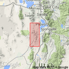
- Areal extent
- AAPG geologic province:
-
- Great Basin province
Rigby, J.K., 1958, Geology of the Stansbury Mountains, [Utah]: Utah Geological Society, Guidebook to the geology of Utah, no. 13, p. 1-134.
Summary:
Pg. 14 (fig. 3), 16-17. Dagmar dolomite. In Stansbury Mountains, Tooele County, central northern Utah, commonly less than 20 feet thick and consists of light-medium-gray flnely crystalline dolomite; distinctly laminated. Overlies Teutonic limestone; underlies Herkimer limestone. Age is Middle Cambrian.
Source: US geologic names lexicon (USGS Bull. 1200, p. 1027).

- Usage in publication:
-
- Dagmar dolomite*
- Modifications:
-
- Areal extent
- AAPG geologic province:
-
- Great Basin province
- Wasatch uplift
Summary:
Is a thin unit (60 to 100 ft thick) that serves as a useful marker because of its thin-bedded fine-grained laminated dolomite. Is present in Utah Co on the Wasatch uplift, and in Juab Co in the Great Basin province. A measured section 65.5 ft thick measured in NE1/4 NE1/4 sec 9, T10S, R2W described where Dagmar overlies both Teutonic limestone and underlies Herkimer limestone conformably. Assigned to Middle Cambrian on basis of stratigraphic position. Geologic map. Correlation diagrams.
Source: GNU records (USGS DDS-6; Denver GNULEX).
For more information, please contact Nancy Stamm, Geologic Names Committee Secretary.
Asterisk (*) indicates published by U.S. Geological Survey authors.
"No current usage" (†) implies that a name has been abandoned or has fallen into disuse. Former usage and, if known, replacement name given in parentheses ( ).
Slash (/) indicates name conflicts with nomenclatural guidelines (CSN, 1933; ACSN, 1961, 1970; NACSN, 1983, 2005, 2021). May be explained within brackets ([ ]).