- Usage in publication:
-
- Clyde formation
- Modifications:
-
- Original reference
- Dominant lithology:
-
- Limestone
- Shale
- AAPG geologic province:
-
- Bend arch
Summary:
Pg. 192, 197-198 and charts. Clyde formation. Included in Wichita group, and includes all strata between top of Bead Mountains limestone member of underlying Belle Plains formation and top of Talpa limestone bed of Drake. Thickness averages 475 feet. In Colorado Valley is overlain by higher limestone strata than at outcrop 2 miles east of Talpa, on Santa Fe RR. Age is Permian.
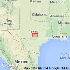
Named from town of Clyde, 8 mi west of Baird, Callahan Co., TX. It is a poor name because in vicinity of the town the Permian is covered by Cretaceous sand and it is necessary to go several mi south of town to get good exposures. But it is only locality along its outcrop available as a name.
Source: US geologic names lexicon (USGS Bull. 896, p. 471).

- Usage in publication:
-
- Clyde formation*
- Modifications:
-
- Revised
- AAPG geologic province:
-
- Bend arch
Summary:
Pg. 169. Clyde formation of Wichita group. Talpa limestone of Drake is top bed of Clyde formation. [Age is Permian.]
Source: US geologic names lexicon (USGS Bull. 896, p. 471).

- Usage in publication:
-
- Clyde group
- Modifications:
-
- Revised
- AAPG geologic province:
-
- Bend arch
Summary:
Pg. 66 (fig. 1), 94. Clyde group. Rank raised to group. Includes Grape Creek formation below and Talpa formation above. Underlies Lueders group; overlies Belle Plains group. [Age is Early Permian (Leonard).]
Source: US geologic names lexicon (USGS Bull. 1200, p. 850).

- Usage in publication:
-
- Clyde formation*
- Modifications:
-
- Mapped
- AAPG geologic province:
-
- Bend arch
Summary:
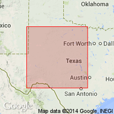
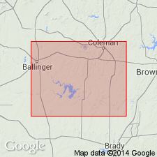
Sheet 2. Clyde formation of Wichita group. Described in Colorado River Valley as a formation where it is 500 feet thick and consists of regular beds of moderately hard medium- to fine-grained gray limestones, in layers 1 to about 10 feet, alternating with shale and marl beds of about same thickness. Includes strata above Bead Mountain limestone member of Belle Plains formation to base of Lueders limestone. Comprises Grape Creek limestone member below and Talpa limestone member above. Division of the Clyde into members in this area is not as natural as in country north of Abilene; in area
herein mapped, units might appropriately be treated as formations. Age is Early Permian (Leonard?).
Source: Publication; US geologic names lexicon (USGS Bull. 1200, p. 850).

- Usage in publication:
-
- Clyde formation*
- Modifications:
-
- Areal extent
- AAPG geologic province:
-
- Bend arch
Summary:
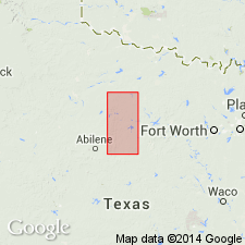
Pg. 274-276, pls. 11, 12. Clyde formation of Wichita group. Described in Brazos River area, central and northern Texas [not separately mapped]. Includes all rocks between Bead Mountain limestone member of underlying Belle Plains formation and base of overlying Lueders limestone. Thickness 220 feet in northwestern Callahan County; 226 feet to west-central Throckmorton County. Includes five members (ascending): unnamed shale, Grape Creek limestone, unnamed shale, Talpa limestone, and unnamed shale. Wichita group. Age is Early Permian (Leonard?).
[GNC remark (ca. 1966, US geologic names lexicon, USGS Bull. 1200, p. 850): Age is considered Early Permian (Wolfcamp).]
Source: Publication; US geologic names lexicon (USGS Bull. 1200, p. 850).
For more information, please contact Nancy Stamm, Geologic Names Committee Secretary.
Asterisk (*) indicates published by U.S. Geological Survey authors.
"No current usage" (†) implies that a name has been abandoned or has fallen into disuse. Former usage and, if known, replacement name given in parentheses ( ).
Slash (/) indicates name conflicts with nomenclatural guidelines (CSN, 1933; ACSN, 1961, 1970; NACSN, 1983, 2005, 2021). May be explained within brackets ([ ]).

