The National Geologic Map Database is migrating to a new infrastructure. We apologize for any service disruptions during this process.
|
|---|


- Usage in publication:
-
- Carbonate Hill limestone
- Modifications:
-
- Named
- Dominant lithology:
-
- Limestone
- Conglomerate
- AAPG geologic province:
-
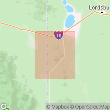
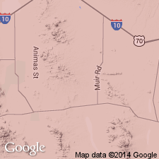
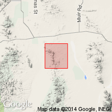
- Pedregosa basin
Summary:
Named as a formation of the Bisbee group for exposure near Carbonate Hill Mine in sec 34, T24S, R21W, Hidalgo Co, NM, in Pedregosa basin. No type section designated. Geologic map included. Made up of thin-bedded, coarse- to medium-grained, dark-gray sandy calcarenite with prominent beds, 8 to 10 ft thick, consisting almost wholly of pelecypod shells. Some beds are friable. Thin conglomerate beds consisting of small subangular pebbles rarely more than 1 in diameter in a sandy limestone matrix occur in lower part. Most of the pebbles are limestone. In addition pelecypods, gastropods, and ammonites found. Thickness 113 to 225 ft. Conformably overlies McGhee Peak formation (new) and conformably overlain by Still Ridge formation (new), both of Bisbee. Fossils in limestones indicate an Aptian (Early Cretaceous) age.
Source: GNU records (USGS DDS-6; Denver GNULEX).

- Usage in publication:
-
- Carbonate Hill Limestone*
- Modifications:
-
- Overview
- AAPG geologic province:
-
- Pedregosa basin
Summary:
Is middle formation of Bisbee Group (Lower Cretaceous) in central Peloncillo Mountains, Hidalgo Co, NM in Pedregosa basin. Overlies McGhee Peak Formation (Aptian) of Gillerman (1958) of Bisbee. Underlies Still Ridge Formation (Aptian) of Gillerman (1958) of Bisbee. Is about 225 ft thick. Is correlated with the limestone unit in Bisbee Group (undivided) in Dos Cabezas and northern Chiricahua Mountains. [See fig. 5 for regional correlations.] Age is Aptian (Early Cretaceous) following Gillerman (1958).
Source: GNU records (USGS DDS-6; Denver GNULEX).
- Usage in publication:
-
- Carbonate Hill Limestone*
- Modifications:
-
- Overview
- AAPG geologic province:
-
- Pedregosa basin
Summary:
Mapped as a formation in Bisbee Group in central Peloncillo Mountains, Hidalgo Co, NM in Pedregosa basin. Overlies McGhee Peak Formation. Underlies Still Ridge Formation. Is 75-100 m thick. Is Early Cretaceous age on basis of megafossil fauna (Gillerman, 1958).
Source: GNU records (USGS DDS-6; Denver GNULEX).
- Usage in publication:
-
- Carbonate Hill Limestone*
- Modifications:
-
- Areal extent
- AAPG geologic province:
-
- Pedregosa basin
Summary:
Formation names of the Lower Cretaceous Bisbee Group used in Bisbee area (Glance Conglomerate, Morita Formation, Mural Limestone, and Cintura Formation) can be distinguished in Peloncillo Mountains (Cochise Co, AZ and Hidalgo Co, NM in Basin-and-Range province and in Pedregosa basin. Are recognized for the first time in northern Animas Mountains. Formation names of Bisbee area were defined by Ransome in 1904 and take precedence over local terminologies defined later (Gillerman, 1958, whose names McGhee Peak Formation, and Johnny Bull Sandstone, Still Ridge Formation, and Carbonate Hill Limestone are not used in this report).
Source: GNU records (USGS DDS-6; Denver GNULEX).
For more information, please contact Nancy Stamm, Geologic Names Committee Secretary.
Asterisk (*) indicates published by U.S. Geological Survey authors.
"No current usage" (†) implies that a name has been abandoned or has fallen into disuse. Former usage and, if known, replacement name given in parentheses ( ).
Slash (/) indicates name conflicts with nomenclatural guidelines (CSN, 1933; ACSN, 1961, 1970; NACSN, 1983, 2005, 2021). May be explained within brackets ([ ]).