- Usage in publication:
-
- Cannelton limestone
- Modifications:
-
- Original reference
- Dominant lithology:
-
- Limestone
- AAPG geologic province:
-
- Appalachian basin
Summary:
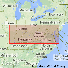
Pg. 8, 15. Cannelton limestone (also Cannelton cement). Frequently exhibits cone-in-cone structure. Is 2 to 2.5 feet thick. Lies 75 feet below Lower Kittanning [not Lower Kittanning] coal (Campbell Creek). Once burned for cement at Cannelton, Kanawha County, southern West Virginia, by Mr. Stockton, and hence is often called "Stockton" limestone. Age is Pennsylvanian (Lower Coal Measures). No fossils found, but is correlated with Ferriferous [Vanport] limestone of Pennsylvania. [This correlation as been abandoned in all later rpts. of West Virginia Geol. Survey.]
Source: Publication; US geologic names lexicon (USGS Bull. 896, p. 334).
- Usage in publication:
-
- Cannelton limestone
- Modifications:
-
- Overview
- AAPG geologic province:
-
- Appalachian basin
Summary:
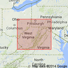
Pg. 511, 586. Cannelton (Stockton) limestone. The limestone at Cannelton, which Mr. Stockton once burned for cement, is often termed Stockton cement bed. It is usually quite siliceous, frequently exhibits cone-in-cone structure, and has no fossils so far as writer knows. Its usual place is 75 to 100 feet below Campbells Creek coal and 45 to 50 feet above Eagle coal. If Eagle coal is Clarion bed of Allegheny series then Cannelton limestone would correspond to Ferriferous limestone of western Pennsylvania. [According to all later rpts. of West Virginia Geol. Survey the Eagle coal is much older than Clarion coal and belongs in Kanawha formation, a considerable distance below Campbells Creek coal. See West Virginia chart I. In Logan-Mingo Co. Rpt., 1914, the thickness of Cannelton limestone was given as 0 to 4 feet.]
Source: US geologic names lexicon (USGS Bull. 896, p. 334).
- Usage in publication:
-
- Cannelton Shale Member
- Modifications:
-
- Revised
- Areal extent
- Redescribed
- Dominant lithology:
-
- Shale
- AAPG geologic province:
-
- Appalachian basin
Summary:
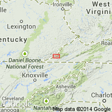
Wise Formation in Lee Co., VA, includes (ascending) Cannelton Shale Member (White, 1885), Clover Fork Sandstone Member (Miller, 1969), Marcum Hollow Sandstone Member (Miller, 1969), Kendrick Shale Member (Jillson, 1919), and Magoffin Member (Morse, 1931). Also includes many named coal beds. Wise overlies Gladeville Sandstone.
Source: GNU records (USGS DDS-6; Reston GNULEX).
- Usage in publication:
-
- Cannelton Limestone
- Modifications:
-
- Revised
- AAPG geologic province:
-
- Appalachian basin
Summary:
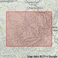
Cannelton Limestone of White (1885) at its type locality is about 50 ft above Eagle coal bed across Kanawha River from Montgomery, Fayette Co., WV (Hennen and Teets, 1919). Generally consists of coarsening-upward shale and siltstone beds that contain concretions and lenses of arenaceous limestone as much as 5 ft thick. In Tug Fork valley, both in WV (Hennen and Reger, 1914) and in KY (Huddle and Englund, 1966; Rice and Smith, 1980), Cannelton Limestone of White (1885) was misidentified as stratigraphically higher Campbell Creek Limestone of White (1885). Although many U.S. Geological Survey Geologic Quadrangle Maps in KY indicate a unit of the same description equivalent to Eagle coal zone in WV, Cannelton was rarely identified because it contained few marine fossils. In southeastern KY, a marine shale and siltstone unit as much as 160 ft thick has been identified above Path Fork coal bed (Tazelaar and Newell, 1974) and is probably equivalent to Cannelton. Basal beds of the unit are fossiliferous and contain diverse mollusk assemblage in area of Cranks Ridge, Harlan Co., KY (T.W. Henry, oral commun., 1989). This unit is well exposed near Crummies, KY, where underlying Path Fork coal bed is extensively mined. Geologic reports of KY previously miscorrelated this marine shale and siltstone unit at Crummies as Campbell Creek Limestone of White (1885); it was formally named Crummies Shale Member of Breathitt Formation by Rice and others (1994). In WV, the equivalent Cannelton Limestone Member of White (1885) is retained and given informal status. Age is Middle Pennsylvanian. Report includes correlation charts and columnar sections.
Source: GNU records (USGS DDS-6; Reston GNULEX).
- Usage in publication:
-
- Cannelton Shale Member
- Modifications:
-
- Areal extent
- AAPG geologic province:
-
- Appalachian basin
Summary:
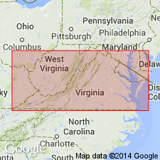
The lower part of the Wise Formation in VA is informally subdivided into three units. Unit 2 includes the Cannelton Shale Member at its base. The Cannelton is a very distinctive dark gray, medium laminated, fissile shale that contains dark gray, micritic limestone concretions that weather pale brown. These concretions are 8 to 20 in. thick and as much as 36 in. across.
Source: GNU records (USGS DDS-6; Reston GNULEX).
- Usage in publication:
-
- Cannelton Limestone
- Modifications:
-
- Areal extent
- AAPG geologic province:
-
- Appalachian basin
Summary:
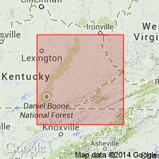
Strata in eastern KY equivalent to Cannelton Limestone of White (1885) in the Kanawha River Valley of WV are here named the Crummies Member of the Breathitt Formation. This interval was formerly miscorrelated with White's Campbell Creek Limestone, a unit actually higher in the section.
Source: GNU records (USGS DDS-6; Reston GNULEX).
- Usage in publication:
-
- Cannelton limestone
- Modifications:
-
- Overview
- AAPG geologic province:
-
- Appalachian basin
Summary:
Cannelton limestone in Kanawha Formation used informally in WV. Described as a slightly fossiliferous marine calcareous shale having limestone concretions. Occurs near middle of Kanawha, between Powellton (above) and Eagle "A" coals. Unit has been miscorrelated with Betsie Shale Member in southwestern part of WV and adjacent parts of KY. Equivalent to Crummies Member of Breathitt Formation in KY, where it occurs above Pond Creek or Lower Elkhorn coals.
Source: GNU records (USGS DDS-6; Reston GNULEX).
For more information, please contact Nancy Stamm, Geologic Names Committee Secretary.
Asterisk (*) indicates published by U.S. Geological Survey authors.
"No current usage" (†) implies that a name has been abandoned or has fallen into disuse. Former usage and, if known, replacement name given in parentheses ( ).
Slash (/) indicates name conflicts with nomenclatural guidelines (CSN, 1933; ACSN, 1961, 1970; NACSN, 1983, 2005, 2021). May be explained within brackets ([ ]).

