

- Usage in publication:
-
- Bluefield shale*
- Modifications:
-
- Original reference
- Dominant lithology:
-
- Shale
- AAPG geologic province:
-
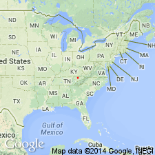
- Appalachian basin
Summary:
Pg. 3. Bluefield shale. Transition series from underlying Greenbrier limestone to overlying sandy Hinton formation. Varies from prevailingly calcareous at base to sandy at top. Limited above by heavy bed of quartzite forming basal member of Hinton formation. Thickness 1,250 to 1,350 feet. Age is Mississippian.
Source: US geologic names lexicon (USGS Bull. 896, p. 219).

- Usage in publication:
-
- Bluefield shale*
- Modifications:
-
- Revised
- AAPG geologic province:
-
- Appalachian basin
Summary:
Bluefield shale. The 1928 prelim. ed. of Virginia Geol. Survey geol. map of Virginia redefined Bluefield shale and Hinton formation by restricting Bluefield to the prevailingly calcareous beds and transferring to overlying Hinto formation about 200 feet of shaly or sandy beds included in Bluefield as defined. Age is Mississippian. This is present [ca. 1936] definition of the USGS.
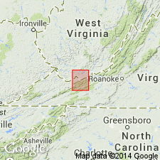
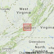
Named from exposures at Bluefield, Mercer Co., southern WV.
Source: US geologic names lexicon (USGS Bull. 896, p. 219).
- Usage in publication:
-
- Bluefield Formation*
- Modifications:
-
- Areal extent
- Revised
- AAPG geologic province:
-
- Appalachian basin
Summary:
Use of Mauch Chunk Group extended into Giles Co., VA, and bordering areas of Mercer, Summer, and Monroe Cos., WV. Mauch Chunk Group is divided into ascending Bluefield Formation, Hinton Formation, Princeton Sandstone, and Bluestone Formation.
Source: GNU records (USGS DDS-6; Reston GNULEX).

- Usage in publication:
-
- Bluefield Formation
- Modifications:
-
- Revised
- Areal extent
- AAPG geologic province:
-
- Appalachian basin
Summary:
Pennington Group in KY is divided into (ascending) Bluefield Formation, Hinton Formation, Princeton Sandstone, and Bluestone Formation, which author states are "projected informally" into KY from VA and WV. Bluefield consists of calcareous gray shales interbedded with limestones, sandstones, dolostones, and some red and green shales. Reaches maximum thickness of 180 m. Largely equivalent to the Paragon Formation along the western belt of outcrop in KY. Overlies Poppin Rock Member of the Slade Formation. Report includes correlation chart, cross sections, and measured sections.
Source: GNU records (USGS DDS-6; Reston GNULEX).
- Usage in publication:
-
- Bluefield Formation*
- Modifications:
-
- Areal extent
- AAPG geologic province:
-
- Appalachian basin
Summary:
Upper unnamed member of Newman Limestone is also known as Bluefield Formation northeast of Cumberland Gap.
Source: GNU records (USGS DDS-6; Reston GNULEX).

- Usage in publication:
-
- Bluefield Formation
- Modifications:
-
- Areal extent
- AAPG geologic province:
-
- Appalachian basin
Summary:
Bluefield Formation of this report includes three members: the Lillydale Shale, the Glenray Limestone, and the Indian Mills Sandstone. The Bluefield can be traced in outcrop almost continuously from Pennington Gap northeastward to Bluefield, WV, along the southeast edge of the Appalachian Plateau. Present in the subsurface in the entire study area. Reaches maximum thickness of 750 ft in Russell and Tazewell Cos., and thins to 250 ft along the VA-KY border. Consists predominantly of calcareous shale and siltstone, limestone, and minor sandstone. Contains abundant fossils that indicate an equivalence to the Glen Dean Limestone. Gradationally overlies the Gasper Limestone Member of the Greenbrier Limestone. Underlies the Hinton Formation with a contact that varies from gradational where the Stony Gap Sandstone Member is present, to disconformable. Age is Late Mississippian (Chesterian).
Source: GNU records (USGS DDS-6; Reston GNULEX).
For more information, please contact Nancy Stamm, Geologic Names Committee Secretary.
Asterisk (*) indicates published by U.S. Geological Survey authors.
"No current usage" (†) implies that a name has been abandoned or has fallen into disuse. Former usage and, if known, replacement name given in parentheses ( ).
Slash (/) indicates name conflicts with nomenclatural guidelines (CSN, 1933; ACSN, 1961, 1970; NACSN, 1983, 2005, 2021). May be explained within brackets ([ ]).