- Usage in publication:
-
- Yankeetown chert*
- Modifications:
-
- Named
- Dominant lithology:
-
- Limestone
- AAPG geologic province:
-
- Illinois basin
Summary:
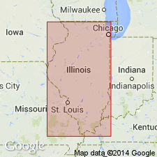
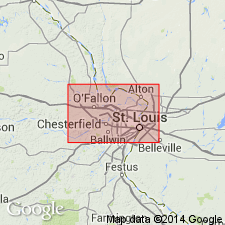
Named as part of Chester group. Named for Yankeetown School, southeastern corner of Monroe Co., southwestern IL. Consists of light-buff or nearly white siliceous limestone; some beds slightly sandy; locally partly quartzitic. Thickness is 20 ft. Rests with probable unconformity, on Renault limestone, overlain by Paint Creek formation. Age is Mississippian.
Source: GNU records (USGS DDS-6; Reston GNULEX).

- Usage in publication:
-
- Yankeetown Sandstone
- Modifications:
-
- Revised
- AAPG geologic province:
-
- Illinois basin
Summary:
Yankeetown Sandstone grades from sandstone and shale in western IL to limestone and shale in eastern IL. Although only 20 ft thick in outcrop area, can be traced northeastward into upper part of thick sandstone in Washington Co., where it is separated by thin Renault Limestone from Aux Vases Sandstone below. As thus differentiated, Yankeetown includes sandstone and shale formerly designated as being in upper part of Renault. Near northwestern corner of Hamilton Co., Yankeetown changes from sandstone to limestone; at about the same place, Bethel Sandstone changes from shale to sandstone. This led some workers to mistakenly think that the Yankeetown and Bethel were equivalent. Yankeetown is overlain by Downeys Bluff Limestone of Paint Creek Group and underlain by Renault Limestone. Age is Mississippian (Chesterian). Report includes geologic maps and correlation charts.
Source: GNU records (USGS DDS-6; Reston GNULEX).

- Usage in publication:
-
- Yankeetown Member*
- Modifications:
-
- Overview
- AAPG geologic province:
-
- Illinois basin
Summary:
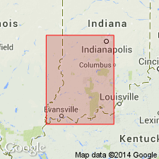
Used as Mississippian (Chesterian) Yankeetown Member of Paoli Limestone in IN. Authors follow usage of Shaver and others (1986).
Source: GNU records (USGS DDS-6; Reston GNULEX).

- Usage in publication:
-
- Yankeetown Sandstone*
- Modifications:
-
- Overview
- AAPG geologic province:
-
- Illinois basin
Summary:
Upper Mississippian (Chesterian) Yankeetown Sandstone is mapped undivided with Aux Vases Sandstone and Renault Limestone in IL.
Source: GNU records (USGS DDS-6; Reston GNULEX).
For more information, please contact Nancy Stamm, Geologic Names Committee Secretary.
Asterisk (*) indicates published by U.S. Geological Survey authors.
"No current usage" (†) implies that a name has been abandoned or has fallen into disuse. Former usage and, if known, replacement name given in parentheses ( ).
Slash (/) indicates name conflicts with nomenclatural guidelines (CSN, 1933; ACSN, 1961, 1970; NACSN, 1983, 2005, 2021). May be explained within brackets ([ ]).

