- Usage in publication:
-
- Wolfe City Formation
- Modifications:
-
- Mapped 1:250k
- Dominant lithology:
-
- Sand
- Marl
- Sandstone
- AAPG geologic province:
-
- East Texas basin
- Ouachita folded belt
Summary:
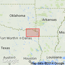
Wolfe City Formation. Sand and sandy marl, fine-grained, abundant calcareous sandstone concretions, light- to medium-gray; weathers yellowish-gray; near middle, thin highly fossiliferous calcareous sandstone bed. Thickness 120 feet, feathers out eastward. [Overlies Ozan Formation. Correlative with medial part of Annona Chalk mapped around and east of Clarksville, Texas.] Lies below Pecan Gap Chalk. Age is Late Cretaceous.
[Mapped as mostly continuous belt along North Sulphur River in Fannin, Hunt, Delta, and Lamar Cos., northeastern TX.]
Source: Publication.

- Usage in publication:
-
- Wolfe City Formation
- Modifications:
-
- Mapped 1:250k
- Dominant lithology:
-
- Marl
- Sand
- Sandstone
- Clay
- AAPG geologic province:
-
- East Texas Basin
- Ouachita folded belt
Summary:
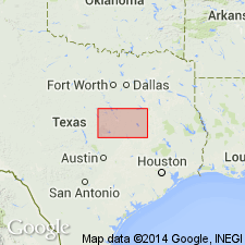
Wolfe City Formation. Marl, sand, sandstone, and clay; marl, sandy, silty, dark gray to light gray and brown, interbedded with thin sandstone lenses cemented by sparry fine- to coarse-grained calcite, grain size increases northward; uncemented sand increases northward; clay, glauconitic, phosphate and hematite nodules, dark gray to brown. Thickness up to 300 feet, feathers out near southern edge of sheet. Lies above Ozan Formation ("lower Taylor marl") and below Pecan Gap Chalk. Age is Late Cretaceous.
Mapped in Falls, Hill, Limestone, McLennan, and Navarro Cos., eastern TX.
Source: Publication.

- Usage in publication:
-
- Wolfe City Formation
- Modifications:
-
- Mapped 1:250k
- Dominant lithology:
-
- Marl
- Sand
- Sandstone
- Mudstone
- AAPG geologic province:
-
- East Texas basin
- Ouachita folded belt
Summary:
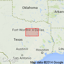
Wolfe City Formation. Marl, sand, sandstone, and mudstone. In Navarro County, eastern Texas, marl, sandy and silty, interbedded with thin sandstone beds and massive sandstone; medium gray. Grades northward into an upper fine-grained sand and silt unit, calcareous, medium yellowish gray; and a lower mudstone unit, calcareous, dark gray, weathers medium gray. Thickness 75 to 300 feet, thins northward. Lies below Marlbrook Marl ("upper Taylor marl") and above Ozan Formation ("lower Taylor marl"). Marine megafossils. Age is Late Cretaceous.
[Mapped in Collin, Dallas, Ellis, Kaufman, Navarro, and Rockwall Cos., eastern TX.]
Source: Publication.

- Usage in publication:
-
- Wolfe City Sand
- Modifications:
-
- Mapped 1:250k
- Dominant lithology:
-
- Sand
- Mudstone
- AAPG geologic province:
-
- East Texas basin
- Ouachita folded belt
Summary:
Pamphlet [p. 2]. Wolfe City Sand. Upper part, sand and silt, medium-yellowish-gray, weathers to light-yellowish-gray, calcareous; sand is very fine-grained; sandy calcareous concretions locally abundant in discontinuous beds; marine megafossils. Lower part, mudstone, dark-gray, weathers to light- to medium-gray; calcareous, marine megafossils abundant. Thickness approximately 75 feet. Lies above Ozan Formation and below Pecan Gap Chalk. Age is Late Cretaceous.
[Mapped in mostly continuous belt in southeastern part of map sheet, in Hunt, Fannin, and Collin Cos., northeastern TX.]
Source: Publication.
For more information, please contact Nancy Stamm, Geologic Names Committee Secretary.
Asterisk (*) indicates published by U.S. Geological Survey authors.
"No current usage" (†) implies that a name has been abandoned or has fallen into disuse. Former usage and, if known, replacement name given in parentheses ( ).
Slash (/) indicates name conflicts with nomenclatural guidelines (CSN, 1933; ACSN, 1961, 1970; NACSN, 1983, 2005, 2021). May be explained within brackets ([ ]).

