

- Usage in publication:
-
- Waldron shale
- Modifications:
-
- Named
- Dominant lithology:
-
- Shale
- AAPG geologic province:
-
- Cincinnati arch
Summary:
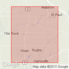
Named Waldron shale of Niagara group. Composed of calcareous clay, shale, and thin strata of limestone, 10 in. to 6 ft thick, overlying the quarry stone and closing Niagara period or group in Decatur and Shelby Cos., central IN. Overlain by Lower Corniferous limestone and underlain by quarry stone of Niagara age.
Source: GNU records (USGS DDS-6; Reston GNULEX).
- Usage in publication:
-
- Waldron shale*
- Modifications:
-
- Overview
- AAPG geologic province:
-
- Cincinnati arch
Summary:
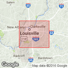
Designated Waldron shale. Consists of highly calcareous and magnesian shale, greenish gray in color, coarse textured, fragile, non-fissile, cleaving or breaking into irregular lumps or pieces. On weathering disintegrates readily into greenish clay. On less complete weathering it becomes a soft laminated rock. Poorly fossiliferous in KY. Thickness is very constant, being close to 12 ft throughout Jefferson Co. Overlies Laurel dolomite; unconformably underlies Louisville limestone. Age is Niagaran.
Source: GNU records (USGS DDS-6; Reston GNULEX).
- Usage in publication:
-
- Waldron Shale
- Waldron Formation
- Modifications:
-
- Overview
- AAPG geologic province:
-
- Cincinnati arch
Summary:
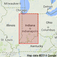
Designated Waldron Shale and Formation. Thinly interbedded clay, shale, and limestone. Fossils extremely abundant in places. Waldron Formation used for more dolomitic facies in northern IN. As much as 10 ft thick in southern IN, northward in subsurface as much as 30 ft thick. Conformably overlies Salamonie Dolomite; conformably underlies Louisville Limestone. Outcrop trends northward from near Louisville, KY, and then eastward to cross the IN-OH border in the northern half. Age is middle Niagaran; in the British standard, a Wenlockian age.
Source: GNU records (USGS DDS-6; Reston GNULEX).
- Usage in publication:
-
- Waldron Formation*
- Modifications:
-
- Revised
- Age modified
- AAPG geologic province:
-
- Cincinnati arch
Summary:
Revised as Waldron Formation of Wayne Group in du Pont Geohydrological Survey well near Waverly, Humphreys Co. central TN. Age is Silurian.
Source: GNU records (USGS DDS-6; Reston GNULEX).
For more information, please contact Nancy Stamm, Geologic Names Committee Secretary.
Asterisk (*) indicates published by U.S. Geological Survey authors.
"No current usage" (†) implies that a name has been abandoned or has fallen into disuse. Former usage and, if known, replacement name given in parentheses ( ).
Slash (/) indicates name conflicts with nomenclatural guidelines (CSN, 1933; ACSN, 1961, 1970; NACSN, 1983, 2005, 2021). May be explained within brackets ([ ]).