- Usage in publication:
-
- Waldrip bed
- Modifications:
-
- Original reference
- Dominant lithology:
-
- Clay
- AAPG geologic province:
-
- Llano uplift
- Bend arch
Summary:
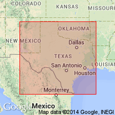
Pg. 387, 412. Waldrip bed in Cisco division. Chiefly blue clays, but locally sandstone of considerable thickness, three well-marked and persistent limestones, and some shaly clay, carbonaceous shale, and a coal bed. Thickness 100 to 200 feet. Member in middle of Cisco division [Cisco is 2nd from top of 5 Carboniferous divisions of Cummins (1891); = Tarr's (1890) Waldrip coal division]. Underlies Saddle Creek bed and overlies Chaffin bed. Fossiliferous. Age is Pennsylvanian.
[Named from Waldrip, McCulloch Co., Colorado River region, central TX.]
Source: Publication; US geologic names lexicon (USGS Bull. 896, p. 2264).

- Usage in publication:
-
- Waldrip formation
- Modifications:
-
- Revised
- AAPG geologic province:
-
- Bend arch
Summary:
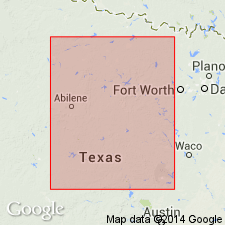
Pg. 133-145. Waldrip formation, 3rd from top of 7 formations in Cisco division. Characterized by a coal bed below Waldrip limestone (top member of Waldrip formation) which forms a conspicuous scarp throughout its outcrop. At Cisco the limestone is a dense crystalline and dark-gray fossiliferous bed, but in north part of Shackelford County west of Breckenridge it changes to sandstone and disappears. Another limestone, however, occurs about 40 feet lower and can be traced farther north. To the northeast of Newcastle the formation is composed largely of sand. In places where the coal does not outcrop the Waldrip limestone can be identified by the large numbers of large crinoids on its surface and the characteristic fossils from the shale just below. Underlies Pueblo formation and overlies Breckenridge formation. Age is Pennsylvanian. Report area in Brazos River Valley, north-central Texas.
Source: US geologic names lexicon (USGS Bull. 896, p. 2264); supplemental information from GNU records (USGS DDS-6; Denver GNULEX).

- Usage in publication:
-
- Waldrip bed
- Modifications:
-
- Not used
Summary:
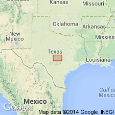
"Waldrip Bed" of Drake (1893) not used--these rocks assigned to newly named Harpersville formation of Cisco Group (revised) in the Colorado River Valley, north-central TX on Bend arch. In the Colorado River Valley Harpersville consists of a persistent dark-gray limestone at top--the Saddle Creek [limestone member]--and beneath it a series of blue clays, carbonaceous and ferruginous shales, containing lenses of sandstone and a few conglomerate beds, and three limestone beds, buff, yellow, and brown in color. The three limestone beds were designated Waldrip Beds 1, 2, and 3 by Drake (1893). [The Saddle Creek limestone [member] is probably the same as "Waldrip limestone" [member] of Waldrip formation as described by Plummer, 1919--this is not stated, however.] The uppermost of these three limestone layers contains many FUSULINA and, more rarely, other fossils, so that it is quite easily recognized and possibly is to be correlated with the newly named Belknap limestone [member, of Harpersville] of the Brazos River Valley. Stratigraphic chart, measured sections. Of Pennsylvanian age.
Source: GNU records (USGS DDS-6; Denver GNULEX).
For more information, please contact Nancy Stamm, Geologic Names Committee Secretary.
Asterisk (*) indicates published by U.S. Geological Survey authors.
"No current usage" (†) implies that a name has been abandoned or has fallen into disuse. Former usage and, if known, replacement name given in parentheses ( ).
Slash (/) indicates name conflicts with nomenclatural guidelines (CSN, 1933; ACSN, 1961, 1970; NACSN, 1983, 2005, 2021). May be explained within brackets ([ ]).

