- Usage in publication:
-
- Waccamaw beds
- Modifications:
-
- Original reference
- Dominant lithology:
-
- Sand
- Limestone
- AAPG geologic province:
-
- Atlantic Coast basin
Summary:
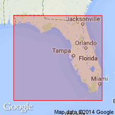
Pg. 209-213. For the beds exhibited in South Carolina along the Waccamaw River, above the Cretaceous marl, as sectioned by Tuomey and Johnson, the name Waccamaw beds may be adopted. [Fossils are listed on p. 210-211.] Age is Pliocene.
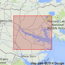
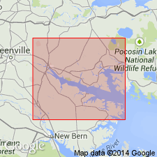
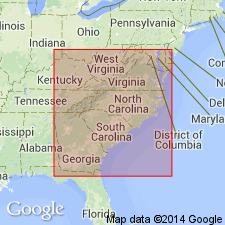
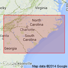
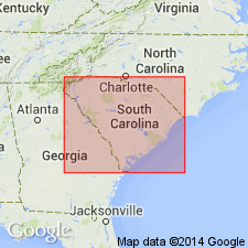
Named from exposures along Waccamaw River, Horry Co., SC. Present in southern and eastern South Carolina and southern North Carolina (south of Hatteras axis).
Source: US geologic names lexicon (USGS Bull. 896, p. 2259).

- Usage in publication:
-
- Waccamaw formation*
- Modifications:
-
- Overview
- AAPG geologic province:
-
- Atlantic Coast basin
Summary:
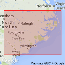
Waccamaw formation. In present usage [ca. 1938] the Waccamaw formation represents all known Pliocene beds in South Carolina and it unconformably underlies Pleistocene terrace deposits (so-called "Lafayette") and overlies the Miocene Duplin marl. In North Carolina, the Waccamaw includes all marine Pliocene deposits south of the Hatteras axis, the name Croatan sand being applied to the Pliocene deposits north of the Hatteras axis. No outcrops [are] known north of Neuse River, North Carolina. [The Waccamaw] consists of soft limestones and loose gray to buff fine quartz sands in which occasional small quartz pebbles are present; in places it contains a small number of black water-worn phosphatic pebbles that were evidently derived from the Cretaceous. Approximate thickness is 0 to 25 feet in North Carolina and 0 to 12 feet in South Carolina.
Source: Publication; supplemental information from GNU records (USGS; Reston GNULEX).
- Usage in publication:
-
- Waccamaw formation*
- Modifications:
-
- Age modified
- AAPG geologic province:
-
- Atlantic Coast basin
Summary:
In this report, Waccamaw is considered contemporaneous with Duplin marl and placed in the Yorktown formation which is geographically extended into North Carolina. This reclassification is made because 15 species of Ostracoda known to occur in the Duplin marl occur in the Waccamaw formation and in addition, no ostracod species have been found in the Waccamaw that do not occur in the Duplin. Age of Yorktown is considered late Miocene.
Source: GNU records (USGS DDS-6; Reston GNULEX).
- Usage in publication:
-
- Waccamaw Formation*
- Modifications:
-
- Age modified
- AAPG geologic province:
-
- Atlantic Coast basin
Summary:
Age of Waccamaw Formation changed from early Pliocene --to-- late Miocene to early Pliocene.
Source: Changes in stratigraphic nomenclature, 1968 (USGS Bull. 1294-A, p. A19).
- Usage in publication:
-
- Waccamaw Formation*
- Modifications:
-
- Revised
- Age modified
- AAPG geologic province:
-
- Atlantic Coast basin
Summary:
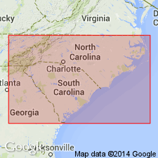
Waccamaw Formation redefined and stratigraphically restricted to include only those lower Pleistocene deposits of its original type area. Age restricted to early Pleistocene; from late Pliocene and early Pleistocene. Rocks formerly included in its lower (upper Pliocene) part now included in Bear Bluff Formation (newly adopted). Unconformably underlies Canepatch Formation. Correlates with James City Formation in northeastern North Carolina.
[This reference, though published prior to the Hazel and Gibson papers of 1983, was actually written and reviewed later then either of the others and therefore is considered to be the more current usage --From GNU records (USGS DDS-6; Reston GNULEX).]
Source: GNU records (USGS DDS-6; Reston GNULEX).
- Usage in publication:
-
- Waccamaw Formation*
- Modifications:
-
- Age modified
- AAPG geologic province:
-
- Atlantic Coast basin
Summary:
Advance copy (1978). Waccamaw Formation. Age changed from early Pleistocene --to-- late Pliocene and early Pleistocene.
[This manuscript was reviewed by GNU in June, 1978. See Blackwelder (1979) for more current age assignment.]
Source: Modified from GNU records (USGS DDS-6; Reston GNULEX).
- Usage in publication:
-
- Waccamaw Formation*
- Modifications:
-
- Age modified
- AAPG geologic province:
-
- Atlantic Coast basin
Summary:
Age of the Waccamaw changed from late Miocene and early Pliocene to: early Pleistocene.
[This paper was reviewed by GNU in February of 1976 though not published until 1983. See Blackwelder (1979) for the more current age assignment.]
Source: GNU records (USGS DDS-6; Reston GNULEX).
- Usage in publication:
-
- Waccamaw Formation
- Modifications:
-
- Overview
- Areal extent
- AAPG geologic province:
-
- Atlantic Coast basin
Summary:
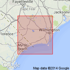
The Waccamaw is exposed on the north shore of Lake Waccamaw in Columbus Co., NC, at Delco and Old Dock , also in Columbus Co., and at Shallotte in Brunswick Co. Waccamaw is unconformably underlain by the Bear Bluff Formation and overlain by the shelly sands and back-barrier clays of the late Pleistocene Canepatch Formation. Like the correlative James City Formation to the north, the Waccamaw consists of two beds of identical lithology separated by an unconformity at Calabash, Brunswick Co. Unit is not known far south of its type area and extends northward only to the New River. This area is the southeastern flank of the Cape Fear arch. Age is early Pleistocene.
Source: GNU records (USGS DDS-6; Reston GNULEX).
- Usage in publication:
-
- Waccamaw Formation
- Modifications:
-
- Age modified
- AAPG geologic province:
-
- Atlantic Coast basin
Summary:
The youngest Waccamaw sediments are probably older than 2.0 m.y. according to Campbell and Campbell (1992) [eliminating the Pleistocene]. Author states that age according to Cronin and others (1984) was considered latest Pliocene to earliest Pleistocene (foraminiferal biochronozone N22). [Cronin and others reference not in GNU files.] The Waccamaw appears to be a lateral equivalent of the Cypresshead Formation of the Charleston area.
Source: GNU records (USGS DDS-6; Reston GNULEX).
- Usage in publication:
-
- Waccamaw Formation
- Modifications:
-
- Age modified
- AAPG geologic province:
-
- Atlantic Coast basin
Summary:
Waccamaw Formation divided into upper and lower units by an unconformity. Lower Waccamaw dates from 2.4 Ma based on planktic Foraminifera and from 2.53 Ma by U-He coral dates and is correlative with the lower Caloosahatchee of FL. The upper Waccamaw is correlative with the upper Caloosahatchee which unconformably underlies the 1.5 Ma Bermont beds and is restricted to the interval 1.5 to 2.4 Ma. The age of the upper Waccamaw is interpreted as 1.9 to 2.2 Ma, older than the published ages of Cronin (1990) and Bybell (1990) of 1.8 to about 1.0 Ma. The Waccamaw is equivalent to the Cypresshead Formation of the Charleston area. Ward, Bailey, and Carter (1991) placed both the lower and upper Waccamaw in the early Pleistocene.
Source: GNU records (USGS DDS-6; Reston GNULEX).
For more information, please contact Nancy Stamm, Geologic Names Committee Secretary.
Asterisk (*) indicates published by U.S. Geological Survey authors.
"No current usage" (†) implies that a name has been abandoned or has fallen into disuse. Former usage and, if known, replacement name given in parentheses ( ).
Slash (/) indicates name conflicts with nomenclatural guidelines (CSN, 1933; ACSN, 1961, 1970; NACSN, 1983, 2005, 2021). May be explained within brackets ([ ]).

