- Usage in publication:
-
- The Forks Formation
- Modifications:
-
- Named
- Dominant lithology:
-
- Conglomerate
- Limestone
- Siltstone
- Sandstone
- Phyllite
- AAPG geologic province:
-
- New England province
Summary:
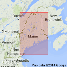
A prominent transgressive rock sequence in northwestern Maine is here named The Forks Formation. It consists of a lower sequence of basal conglomerate and carbonate-rich thinly-bedded, silty limestone, and an upper sequence of clastic-rich siltstone, sandstone, and phyllite. Overlies the Cambrian or Ordovician Dead River Formation with angular unconformity, representing Taconian or Penobscottian tectonic events; gradationally underlies the Carrabassett Formation of Lower Devonian age. Correlative with the Madrid Formation to the southeast. Thickness is 215 m. Age is Late Silurian based on estimated sedimentation rates.
Source: GNU records (USGS DDS-6; Reston GNULEX).

- Usage in publication:
-
- The Forks Formation*
- Modifications:
-
- Age modified
- Revised
- Overview
- AAPG geologic province:
-
- New England province
Summary:
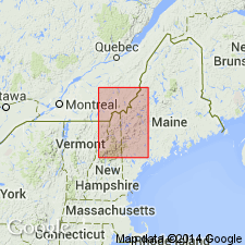
Occurs in Little Bigelow Mountain and Pierce Pond 15-min quads, ME. Divided into unmapped upper member of thickly bedded, slightly calcareous, feldspathic metasandstone and a lower member of thinly bedded calcareous metasandstone, metasiltstone, impure metalimestone, and thin basal metaconglomerate. Includes rocks previously mapped as unnamed calcareous phyllite and related rocks in the Little Bigelow Mountain quad by Boone (1973) and by Moench and Pankiwskyj (1988). Contains shelly fossils in basal layer, but no diagnostic forms identified. Considered to be coeval with Late Silurian(?) Madrid Formation on basis of lithologic similarity and conformable position of both formations below the Carrabassett Formation of the Seboomook Group. The Forks Formation also unconformably overlies pre-Silurian rocks and is probably a shoreline facies of the Madrid. On the basis of all the above-stated relationships, the age is changed from Late Silurian of Marvinney (1984) to Silurian(?) (Ludlovian? and Pridolian?).
Source: GNU records (USGS DDS-6; Reston GNULEX).
For more information, please contact Nancy Stamm, Geologic Names Committee Secretary.
Asterisk (*) indicates published by U.S. Geological Survey authors.
"No current usage" (†) implies that a name has been abandoned or has fallen into disuse. Former usage and, if known, replacement name given in parentheses ( ).
Slash (/) indicates name conflicts with nomenclatural guidelines (CSN, 1933; ACSN, 1961, 1970; NACSN, 1983, 2005, 2021). May be explained within brackets ([ ]).

