- Usage in publication:
-
- Sulphur Well [member]
- Modifications:
-
- Named
- AAPG geologic province:
-
- Cincinnati arch
Summary:
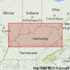
Named Sulphur Well [member] of Cynthiana Formation.
Source: GNU records (USGS DDS-6; Reston GNULEX).
- Usage in publication:
-
- Sulphur Well*
- Modifications:
-
- Revised
- Dominant lithology:
-
- Limestone
- AAPG geologic province:
-
- Cincinnati arch
Summary:
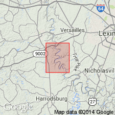
Sulphur Well [member] of Cynthiana Formation of McFarlan (1943) revised as Sulphur Well Member of Lexington Limestone.
Source: GNU records (USGS DDS-6; Reston GNULEX).
- Usage in publication:
-
- Sulphur Well Member*
- Modifications:
-
- Overview
- AAPG geologic province:
-
- Cincinnati arch
Summary:
Comprehensive description of Lexington Limestone including that of Sulphur Well Member. Includes cross sections showing relationships of Millersburg Member to adjacent units.
Source: GNU records (USGS DDS-6; Reston GNULEX).
- Usage in publication:
-
- Sulphur Well Member*
- Modifications:
-
- Overview
- AAPG geologic province:
-
- Cincinnati arch
Summary:
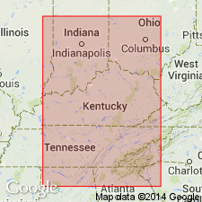
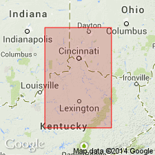
The Sulphur Well Member of the Lexington Limestone consists of poorly sorted bryozoan calcirudite with a calcitic to dolomitic matrix and thin shale partings; brachiopods also are common. Thickness is 35 feet. Overlies the Brannon or Tanglewood Limestone Members of the Lexington Limestone and underlies the Clays Ferry Formation. The environment of deposition is interpreted to be moderately agitated, normal marine.
Source: GNU records (USGS DDS-6; Reston GNULEX).
- Usage in publication:
-
- Sulphur Well Member*
- Modifications:
-
- Age modified
- AAPG geologic province:
-
- Cincinnati arch
Summary:
Sulphur Well Member of Lexington Limestone is Champlainian (Shermanian) in age.
Source: GNU records (USGS DDS-6; Reston GNULEX).
For more information, please contact Nancy Stamm, Geologic Names Committee Secretary.
Asterisk (*) indicates published by U.S. Geological Survey authors.
"No current usage" (†) implies that a name has been abandoned or has fallen into disuse. Former usage and, if known, replacement name given in parentheses ( ).
Slash (/) indicates name conflicts with nomenclatural guidelines (CSN, 1933; ACSN, 1961, 1970; NACSN, 1983, 2005, 2021). May be explained within brackets ([ ]).

