

- Usage in publication:
-
- Striped Peak formation*
- Modifications:
-
- First used
- Dominant lithology:
-
- Sandstone
- AAPG geologic province:
-
- Northern Rocky Mountain region
Summary:
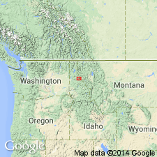
Intent to name not stated. Occurs near Striped Peak [source of name], T47N, Rs3 and 4E, Shoshone Co, ID in Northern Rocky Mountain region. Name of formation derived from name of peak, but intent to name a new formation not clearly stated. No type locality designated. Is the least extensive of any of the Algonkian rocks of the Coeur d'Alene district. Is more than 1,000 ft thick. Consists of siliceous, shaly green and purple sandstone. Characterized by shallow-water features, such as ripple marks, sun cracks. Overlies Wallace formation. Is the uppermost of the Algonkian-age formations. Stratigraphic top does not appear in district. No fossils have been found.
Source: GNU records (USGS DDS-6; Denver GNULEX).
- Usage in publication:
-
- Striped Peak formation*
- Modifications:
-
- Revised
- Overview
- AAPG geologic province:
-
- Northern Rocky Mountain region
Summary:
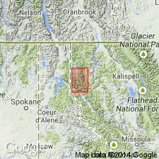
Revised in that Striped Peak formation of the Belt series underlies the newly named Libby formation of the Belt series in the Libby quad, Lincoln Co, MT in the Northern Rocky Mountain region. Geologic map. Correlation chart. Overlies Wallace formation (used in preference to Newland [formation] of the Belt). Is about 2,000 ft thick in area. Described as a homogeneous unit, dominantly dark-red to purplish sandstone and quartzite. Section on Mount Berray measured where Striped Peak consists of red and green shale interbedded with red sandstone. Algal limestone occurs about 1,000+ ft above base on Mount Berray. Ripple marks, sun cracks, and cross-beds common. Of pre-Cambrian age.
Source: GNU records (USGS DDS-6; Denver GNULEX).

- Usage in publication:
-
- Striped Peak Formation*
- Modifications:
-
- Overview
- AAPG geologic province:
-
- Northern Rocky Mountain region
Summary:
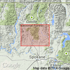
Is the basal formation of the Missoula Group of the Belt Supergroup in the WA, ID and adjacent parts of MT, an area that lies in the Northern Rocky Mountain region. Overlies Wallace Formation of the middle Belt carbonate and underlies Libby Formation of Missoula Group. Correlated with Miller Peak Formation and Bonner Quartzite of the Missoula, Alberton, and St. Regis areas, MT. Correlated with Snowslip, Shepard, and Mount Shields Formations, and Bonner Quartzite of Glacier National Park, and the Whitefish Range, MT. Correlation chart. Precambrian age.
Source: GNU records (USGS DDS-6; Denver GNULEX).
- Usage in publication:
-
- Striped Peak Formation*
- Modifications:
-
- Age modified
- AAPG geologic province:
-
- Idaho Mountains province
Summary:
Age of the Striped Peak Formation is [everywhere] revised from Precambrian to: Middle Proterozoic.
Source: GNU records (USGS DDS-6; Menlo GNULEX).
For more information, please contact Nancy Stamm, Geologic Names Committee Secretary.
Asterisk (*) indicates published by U.S. Geological Survey authors.
"No current usage" (†) implies that a name has been abandoned or has fallen into disuse. Former usage and, if known, replacement name given in parentheses ( ).
Slash (/) indicates name conflicts with nomenclatural guidelines (CSN, 1933; ACSN, 1961, 1970; NACSN, 1983, 2005, 2021). May be explained within brackets ([ ]).