- Usage in publication:
-
- Seymour beds*
- Modifications:
-
- Original reference
- Dominant lithology:
-
- Clay
- AAPG geologic province:
-
- Bend arch
- Permian basin
Summary:
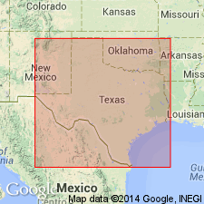
Pg. 181-190. Seymour beds. Unstratified beds of sandy clay, few feet to 50 feet thick, in Baylor and Knox Counties. Overlies Permian red beds. Often at base beds of sandy pebbles cemented into solid masses by lime.
[Named from town of Seymour, Baylor Co., central northern TX.]
Source: US geologic names lexicon (USGS Bull. 896, p. 1963).
- Usage in publication:
-
- Seymour formation*
- Modifications:
-
- Principal reference
- Dominant lithology:
-
- Clay
- Sand
- Conglomerate
- AAPG geologic province:
-
- Bend arch
- Palo Duro basin
- Permian basin
Summary:
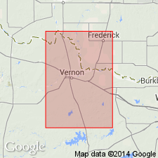
Pg. 9. Seymour formation. In Odell Sand Hills, Wilbarger County [Texas], composed of discontinuous layers of sandy clay, sandy caliche, medium- to very coarse-grained sand, and pebbles that range in diameter from about an eighth of an inch to slightly more than an inch; the beds of pebbles and coarse-grained sand range in thickness from about 1 foot to 85 feet and are, in general, near base of formation. Unconformably overlies Permian rocks. Type locality stated.
Type locality: between Brazos and Wichita Rivers in Baylor and Knox Cos., central northern TX.
Source: US geologic names lexicon (USGS Bull. 1200, p. 3541-3542).
- Usage in publication:
-
- Seymour Formation
- Modifications:
-
- Mapped 1:250k
- Dominant lithology:
-
- Sand
- Gravel
- Clay
- AAPG geologic province:
-
- Bend arch
Summary:
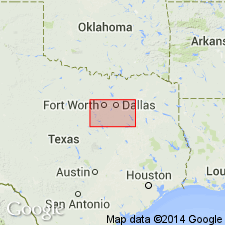
Pamphlet [p. 1]. Seymour Formation. Sand, gravel, and clay. Separately mapped as (1) thin deposits, too thin to support much timber, thickness 1 to 10 feet; (2) thick deposits, thick enough to support dense growth of post oak, thickness 10 to 80 feet, restricted to north side of Clear Fork of Brazos River, probably represents ancient channel deposits of the Clear Fork; (3) limestone gravel, mostly pebbles deposited by northward-flowing, high-gradient streams, thickness 5 to 40 feet. Unconformably overlies Cretaceous and older rocks. Age is Pleistocene.
Mapped in Jones, Shackelford, Taylor, and Throckmorton Cos., central northern TX.
Source: Publication.
- Usage in publication:
-
- Seymour Formation
- Modifications:
-
- Mapped 1:250k
- Dominant lithology:
-
- Sand
- Gravel
- AAPG geologic province:
-
- Bend arch
- Palo Duro basin
- Permian basin
Summary:
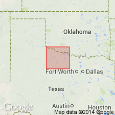
Seymour Formation. Mostly sand with gravel at base. Thickness 10 to 75 feet, thickest at Rochester. Contains fresh-water mollusks; Lava Creek B Volcanic Ash (Pearlette family), unmapped, of middle Pleistocene age exposed near Benjamin. Unconformably overlies Cretaceous and older rocks. Age is Pleistocene.
Separated into thick and thin deposits; mapped in Baylor, Foard, Haskell, Knox, Wilbarger Cos., northern TX.
Source: Publication.
- Usage in publication:
-
- Seymour Formation
- Modifications:
-
- Revised
- AAPG geologic province:
-
- Palo Duro basin
- Permian basin
Summary:
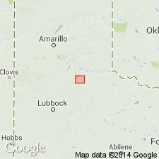
Newly assigned as the oldest of three named formations and some unnamed deposits of the Paducah Group (new) in the eastern and southern Rolling Plains of TX, Palo Duro and Permian basins. Is older than the Good Creek Formation, newly assigned to the Paducah Group. Of Irvingtonian, Pleistocene age. Stratigraphic chart.
Source: GNU records (USGS DDS-6; Denver GNULEX).
For more information, please contact Nancy Stamm, Geologic Names Committee Secretary.
Asterisk (*) indicates published by U.S. Geological Survey authors.
"No current usage" (†) implies that a name has been abandoned or has fallen into disuse. Former usage and, if known, replacement name given in parentheses ( ).
Slash (/) indicates name conflicts with nomenclatural guidelines (CSN, 1933; ACSN, 1961, 1970; NACSN, 1983, 2005, 2021). May be explained within brackets ([ ]).

