- Usage in publication:
-
- Santa Anna branch bed
- Modifications:
-
- Original reference
- Dominant lithology:
-
- Clay
- Coal
- Limestone
- Sandstone
- Shale
- AAPG geologic province:
-
- Bend arch
- Llano uplift
Summary:
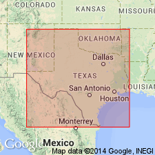
Pg. 387, 420. Santa Anna branch bed in Cisco division. Bluish clay, gray shaly sandy clay, a little coal in places, and some thin limestone and sandstone strata. Thickness 100 to 150 feet. Top member of Cisco division [Cisco is 2nd from top of 5 Carboniferous divisions of Cummins, 1891]. Fossils. Age is Pennsylvanian.
[Probably named from Santa Anna Branch, Coleman Co., Colorado River region, central TX.]
Source: Publication; US geologic names lexicons (USGS Bull. 896, p. 1921; USGS Bull. 1200, p. 3461).

- Usage in publication:
-
- Santa Anna Branch shale [member]
- Modifications:
-
- Revised
- AAPG geologic province:
-
- Bend arch
Summary:
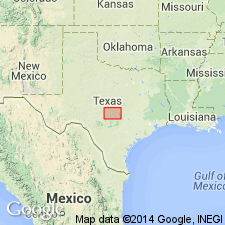
"Santa Anna Branch Bed" of Cisco division (of Drake, 1893) is here revised--assigned as Santa Anna Branch shale [member] of newly named Putnam formation of Cisco group (revised) in the Colorado River Valley, north-central TX on Bend arch. Not present in the Brazos River Valley. In Brazos River Valley Putnam is divided into following members (ascending): unnamed shale and thin limestone; and Coleman Junction limestone. In Colorado River Valley members are (ascending): Santa Anna Branch shale; and Coleman Junction limestone. "The Santa Anna Branch Bed," as described by Drake (1893) at his "type locality" along Santa Anna Branch [Coleman Co, TX on Bend arch], corresponds almost exactly to the section of the Putnam below the Coleman Junction limestone as measured south of Santa Anna [Section I, p. 182]. Therefore although it is possible in some of Drake's other sections that he has included in the bottom of his Santa Anna Branch Bed yellow limestones equivalent to lentils at the top of underlying Moran formation, the Santa Anna Branch is regarded as essentially equivalent to the strata between the Coleman Junction limestone and the yellow limestone strata at the top of Moran formation. Measured sections. Stratigraphic chart. Of Pennsylvanian age.
Source: GNU records (USGS DDS-6; Denver GNULEX).

- Usage in publication:
-
- Santa Anna Branch Shale
- Modifications:
-
- Areal extent
- AAPG geologic province:
-
- Bend arch
Summary:
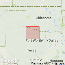
Santa Anna Branch Shale mapped as topmost of seven formations of Cisco Group in the southwestern part of the mapped area, north-central TX. Present in eastern Throckmorton and extreme western Young Cos, on Bend arch. Overlies Sedwick Formation of Cisco; underlies Coleman Junction Formation of Albany Group (revised). Is equivalent to lower part of Nocona Formation (first used) of Wichita Group and upper part of Archer City Formation (first used) of Bowie Group (first used)--Nocona and Archer City are used in the northeastern part of the mapped area (generally, north of the Salt Fork of the Brazos River as far as the Red River, the northern limit of the map sheet). Consists of mudstone, shale, and sandstone. Is mostly mudstone and shale, gray, tan, maroon, thick bedded, large-scale intertonguing of color variations locally; a few thin sandstone lentils and sheets, very fine grained, locally calcareous. Thickness is 170-190 ft. Locally faulted in southeastern Throckmorton Co. Separately mapped are an unnamed sandstone and an unnamed limestone. Age is Wolfcamp (Early Permian). Geologic map.
Source: GNU records (USGS DDS-6; Denver GNULEX).
For more information, please contact Nancy Stamm, Geologic Names Committee Secretary.
Asterisk (*) indicates published by U.S. Geological Survey authors.
"No current usage" (†) implies that a name has been abandoned or has fallen into disuse. Former usage and, if known, replacement name given in parentheses ( ).
Slash (/) indicates name conflicts with nomenclatural guidelines (CSN, 1933; ACSN, 1961, 1970; NACSN, 1983, 2005, 2021). May be explained within brackets ([ ]).

