- Usage in publication:
-
- Sanders Group
- Modifications:
-
- Named
- Dominant lithology:
-
- Limestone
- AAPG geologic province:
-
- Illinois basin
Summary:
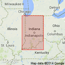
Sanders Group is here defined in Indiana as including all rocks above base of Leesville Member of Harrodsburg Limestone of Stockdale (1929) and below top of Salem Limestone of Cumings (1901). Overlies Borden Group as modified in this report and underlies Blue River Group. Thus Sanders Group contains Salem Limestone and upper part of Harrodsburg Limestone of Hopkins and Siebenthal (1897). Thicknesses: 145 ft along Ohio River; 110 ft in central Washington Co.; and 165 ft in southern Monroe Co..
Source: GNU records (USGS DDS-6; Reston GNULEX).

- Usage in publication:
-
- Sanders Group
- Modifications:
-
- Biostratigraphic dating
- AAPG geologic province:
-
- Illinois basin
Summary:
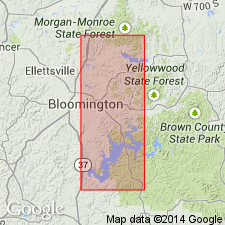
Occurrence of two key brachiopod species in the Ramp Creek Formation and Harrodsburg Limestone of the Sanders Group in south-central IN indicates that boundary between the Osagean and Meramecian Series lies in the lower part of the Ramp Creek Formation. MARGINIRUGUS MAGNUS (Meek and Worthen), an Osagean index fossil is found in the lower part of the Ramp Creek. WARSAWIA LATERALIS (Hall), a Meramecian index fossil also occurs in the lower part of the Ramp Creek and in the lower part of the overlying Harrodsburg.
Source: GNU records (USGS DDS-6; Reston GNULEX).

- Usage in publication:
-
- Sanders Group*
- Modifications:
-
- Overview
- AAPG geologic province:
-
- Illinois basin
Summary:
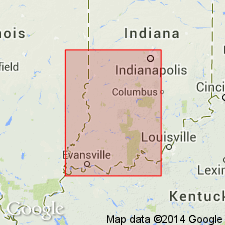
Used as Mississippian Sanders Group in IN. Includes only upper (Valmeyeran) part of the group consisting of Harrodsburg Limestone and Salem Limestone. Authors follow Droste and Carpenter (1990, Indiana State Department of Natural Resources, Geological Survey Bulletin 62).
Source: GNU records (USGS DDS-6; Reston GNULEX).
For more information, please contact Nancy Stamm, Geologic Names Committee Secretary.
Asterisk (*) indicates published by U.S. Geological Survey authors.
"No current usage" (†) implies that a name has been abandoned or has fallen into disuse. Former usage and, if known, replacement name given in parentheses ( ).
Slash (/) indicates name conflicts with nomenclatural guidelines (CSN, 1933; ACSN, 1961, 1970; NACSN, 1983, 2005, 2021). May be explained within brackets ([ ]).

