The National Geologic Map Database is migrating to a new infrastructure. We apologize for any service disruptions during this process.
|
|---|


- Usage in publication:
-
- Rushmere Member*
- Modifications:
-
- Named
- Dominant lithology:
-
- Sand
- AAPG geologic province:
-
- Atlantic Coast basin
Summary:
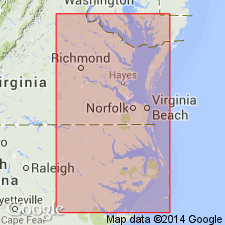
Named as member of Yorktown Formation. Named for community of Rushmere, Isle of Wight Co., eastern VA. Occurs in eastern VA, including southern end of Delmarva Peninsula, and in northeastern NC. Consists of blue-gray, fine, well sorted, shelly sand containing some phosphatic sand and glauconite. Coarse sand and pebbles present near lower contact. Thickness is as much as 4.8 m at outcrop. Overlaps Sunken Meadow Member (new) with apparently conformable contact in its entire extent except in area north of Rappahannock River in Lancaster Co., VA. In Greensville Co., VA, and Halifax Co., NC, Rushmere rests directly on saprolitized granite; in Martin Co., NC, overlies Upper Cretaceous sand; in Craven Co., overlies Oligocene limestone or Castle Hayne Formation where solution and erosion has removed Oligocene. Evidence exists of a diastem between Sunken Meadow and Rushmere. Conformably overlain by Morgarts Beach Member (new); in places, members grade into each other. Report includes generalized geologic map, correlation chart, and fossil lists. Shares same molluscan fossil assemblage as Morgarts Beach and Moore House Members (too numerous to list here). Age is early Pliocene.
Source: GNU records (USGS DDS-6; Reston GNULEX).
- Usage in publication:
-
- Rushmere Member
- Modifications:
-
- Areal extent
- AAPG geologic province:
-
- Atlantic Coast basin
Summary:
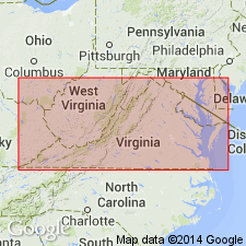
"Rushmere and Morgarts Beach Members of the Yorktown represent the transgressive and regressive stages of the most extensive transgression in the Pliocene and Pleistocene series." The Rushmere crops out from the Rappahannock River in VA to the Tar River in NC. Along the western margin of the outcrop belt, the Rushmere directly overlies crystalline rocks. Over most of its extent in VA it overlies the lower Pliocene Sunken Meadow Member of the Yorktown or the upper Miocene Eastover Formation. Along the western half of the Norfolk arch, unit overlies Cretaceous deltaic sands, and to the south, (in the Albemarle embayment) it overlies the upper Miocene Eastover, lower and middle Miocene Pungo River Formation, lower Paleocene Beaufort Formation, or Cretaceous deposits. Contact with the overlying Morgarts Beach Member is gradational. Age is late Pliocene.
Source: GNU records (USGS DDS-6; Reston GNULEX).
- Usage in publication:
-
- Rushmere Member*
- Modifications:
-
- Biostratigraphic dating
- Overview
- AAPG geologic province:
-
- Atlantic Coast basin
Summary:
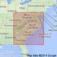
Although Duplin and Raysor Formations probably include sediments deposited during several cycles, the cycles presently cannot be differentiated either by paleontologic analysis or stratigraphic position. In southeastern GA, fossils consistent with Zone PL3 of Berggren (1973) are equivalent wholly or in part to Duplin and Raysor Formations, to Rushmere Member of upper part of Yorktown Formation in southeastern VA and northeastern NC (numerous references and L.W. Ward, Virginia Museum of Natural History, 1990, written commun.), and to Jackson Bluff Formation of extreme northern FL. Figure 6 shows these equivalent relationships. Duplin Formation, used in southeastern NC and northeastern SC, is assigned late early and late Pliocene age. Raysor Formation, used in southeastern SC and all of GA, is assigned late Pliocene age. Jackson Bluff Formation, and Rushmere and Morgarts Beach Members of Yorktown Formation are assigned late Pliocene age.
Source: GNU records (USGS DDS-6; Reston GNULEX).
- Usage in publication:
-
- Rushmere Member
- Modifications:
-
- Revised
- AAPG geologic province:
-
- Atlantic Coast basin
Summary:
Author states that the single Yorktown transgressive-regressive cycle model endorsed by many works, including Campbell and others (1975) and Ward and Blackwelder (1980) is now untenable. Consequently the members proposed by Ward and Blackwelder based on that model are in need of revision. The Rushmere, Morgarts Beach, and Moore House Members are not lithostratigraphic units. Their characteristic sediment types recur frequently through the Yorktown section. They are non-coherent when examined against the Krantz (1991) oxygen isotope model. They are mappable only if restricted to the definitions of their stratotype sections. Only the Sunken Meadow is unchanged in this report. "The Rushmere Member stratotype section narrowly defines the K-4 (Krantz, 1991) regression. The lithostratigraphic concept of the Rushmere Member should be restricted to that part of the Yorktown section actually represented by the stratotype."
Source: GNU records (USGS DDS-6; Reston GNULEX).
For more information, please contact Nancy Stamm, Geologic Names Committee Secretary.
Asterisk (*) indicates published by U.S. Geological Survey authors.
"No current usage" (†) implies that a name has been abandoned or has fallen into disuse. Former usage and, if known, replacement name given in parentheses ( ).
Slash (/) indicates name conflicts with nomenclatural guidelines (CSN, 1933; ACSN, 1961, 1970; NACSN, 1983, 2005, 2021). May be explained within brackets ([ ]).