- Usage in publication:
-
- Romeroville Sandstone
- Modifications:
-
- First used
- Dominant lithology:
-
- Sandstone
- Siltstone
- AAPG geologic province:
-
- Palo Duro basin
- Sierra Grande uplift
Summary:
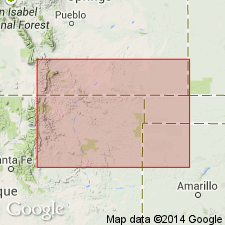
First published use as the upper formation of the Dakota Group. Named for Romeroville, San Miguel Co, NM in the Palo Duro basin. Type section measured [but described in an earlier report as part of Dakota] on northern highway cut at Romeroville Gap. Overlies Pajarito Formation, newly assigned as the middle formation of the Dakota Group. Underlies lower member of Graneros Shale. In Union Co, NM on the Sierra Grande uplift, excellent exposures of this sandstone found at Clayton Lake south of the Dry Cimarron River; is poorly exposed in the Dry Cimarron area where it reaches a maximum thickness of 8 m consisting of laminar, planar cross-bedded and bioturbated, orange-gray to yellow-gray quartzarenite and minor gray siltstone. Pajarito-Romeroville contact placed at highest siltstone, mudstone, or shale beneath Romeroville quartzarenite. Romeroville-Graneros contact placed at base of bentonitic shale above Romeroville quartzarenite. Correlation chart. Represents the onset of a transgressive marine phase of the Greenhorn cycle. Cretaceous age [assignment relative to stages of the Cretaceous not given]. These rocks were formerly unnamed or assigned to Dakota restricted. Measured sections.
Source: GNU records (USGS DDS-6; Denver GNULEX).

- Usage in publication:
-
- Romeroville Sandstone
- Modifications:
-
- Reference
- Overview
- AAPG geologic province:
-
- Palo Duro basin
Summary:
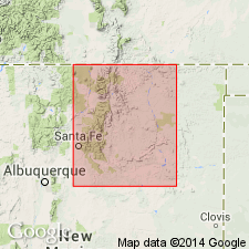
Is the upper formation of Dakota Group, disconformably above Pajarito Formation of Dakota and beneath lower member of Graneros Shale. Type section at Romeroville Gap, east-facing I-25 cut (UTM 478,550 E.; 3,931,200 N.), reference section at Montezuma Gap between Montezuma and Los Vigiles (UTM 475,400 E.; 3,945,150 N.), and subsurface reference section (an E-log) between 5146 to 5158 ft in the W. J. Gourley #2 Vermejo well (sec 16, T30N, R19E), all in Colfax Co, NM in the Las Vegas-Raton basin, described. Is 3.5 m thick at type where it consists of mostly orange to gray, very fine to medium grained, subangular to subround, well-sorted sandstone (quartzarenite) and orange to brown conglomerate with a very fine to coarse grained, subangular to subround, poorly sorted quartz sand matrix. Is 3.2 m thick at Montezuma Gap where it consists of gray to black, very coarse to very fine grained, subround, well to moderately sorted sandstone with several thin dark-gray carbonaceous shale interbeds. Is never more than 9 m thick. Represents ravinement and onset of a new transgressive system tract in northeast NM. Occurs as a thin and sporadic unit, probably deposited during a rapid rise in sea level in latest Albian, Early Cretaceous time.
Source: GNU records (USGS DDS-6; Denver GNULEX).
For more information, please contact Nancy Stamm, Geologic Names Committee Secretary.
Asterisk (*) indicates published by U.S. Geological Survey authors.
"No current usage" (†) implies that a name has been abandoned or has fallen into disuse. Former usage and, if known, replacement name given in parentheses ( ).
Slash (/) indicates name conflicts with nomenclatural guidelines (CSN, 1933; ACSN, 1961, 1970; NACSN, 1983, 2005, 2021). May be explained within brackets ([ ]).

