- Usage in publication:
-
- Point Pleasant beds
- Modifications:
-
- Named
- Dominant lithology:
-
- Limestone
- Shale
- AAPG geologic province:
-
- Cincinnati arch
Summary:
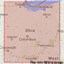
Named as lowest formation in the Cincinnati group. Probably named for exposures at Point Pleasant, Clermont Co., southern OH. No type locality discussed. Consists of massive blue limestone interbedded with concretion-bearing shale. Lighter in color than upper part of Cincinnati group. Thickness is 50 ft. Upper contact determined with difficulty; overlain by River Quarry beds; underlain in borehole cuttings by Calciferous sandrock.
Source: GNU records (USGS DDS-6; Reston GNULEX).
- Usage in publication:
-
- Point Pleasant limestone
- Modifications:
-
- Revised
- AAPG geologic province:
-
- Appalachian basin
Summary:
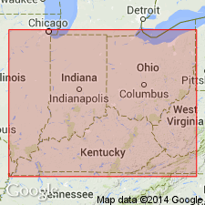
Point Pleasant designated Point Pleasant limestone.
Source: GNU records (USGS DDS-6; Reston GNULEX).
- Usage in publication:
-
- Point Pleasant formation
- Modifications:
-
- Revised
- AAPG geologic province:
-
- Appalachian basin
Summary:
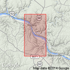
Point Pleasant is designated Point Pleasant formation.
Source: GNU records (USGS DDS-6; Reston GNULEX).
- Usage in publication:
-
- Point Pleasant Tongue*
- Modifications:
-
- Overview
- AAPG geologic province:
-
- Cincinnati arch
Summary:
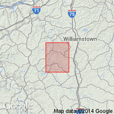
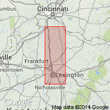
Point Pleasant Tongue of Clays Ferry Formation. Interbedded limestone and shale. Limestone is two types: medium- to coarse-grained fossil fragmental limestone in even to wavy beds as much as 2 ft thick and micrograined limestone in even beds as much as 5 inches thick. Shale is calcareous and silty and sparsely fossiliferous; occurs in beds 1 to 18 inches thick. Fossils include brachiopods, trilobites, bryozoans, crinoids, and gastropods. Base not exposed; overlain by Kope Formation.
Source: GNU records (USGS DDS-6; Reston GNULEX).
- Usage in publication:
-
- Point Pleasant Tongue*
- Modifications:
-
- Revised
- AAPG geologic province:
-
- Appalachian basin
Summary:
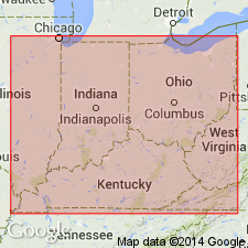
Point Pleasant Formation reduced in rank to Point Pleasant Tongue of Clays Ferry Formation in Kentucky.
Source: GNU records (USGS DDS-6; Reston GNULEX).
- Usage in publication:
-
- Point Pleasant Formation
- Modifications:
-
- Revised
- AAPG geologic province:
-
- Cincinnati arch
Summary:
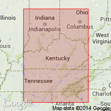
1.2 m of strata within the Point Pleasant Formation of OH and KY containing two to three impure K-bentonite beds is here informally named the Bear Creek K-bentonite zone. The Bear Creek beds occur as two lithologies: a biotite-rich rhythmite and a burrow fill with biotite-rich sediment. Thickness of the rhythmites ranges from 0.15 m to 0.46 m. Burrows range from 0.01 m to 0.03 m thick. Zone occurs 12.5 to 13.7 m above the Lexington-Point Pleasant contact and is assigned to the Mohawkian (Shermanian) Stage.
Source: GNU records (USGS DDS-6; Reston GNULEX).
- Usage in publication:
-
- Point Pleasant Tongue*
- Modifications:
-
- Overview
- Age modified
- AAPG geologic province:
-
- Cincinnati arch
Summary:
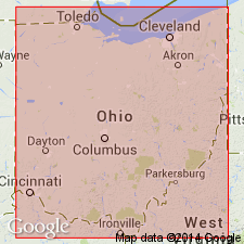
The Point Pleasant Tongue represents the Clays Ferry Formation of KY in southwestern OH. Consists of interbedded limestone and shale of nearly equal proportions. Thickness is 100 feet. Overlies the Lexington Limestone and underlies the Kope Formation. The environment is interpreted to be shallow water, high energy marine. The Point Pleasant is of Middle and Late Ordovician (Shermanian and Edenian) age.
Source: GNU records (USGS DDS-6; Reston GNULEX).
- Usage in publication:
-
- Point Pleasant Formation
- Modifications:
-
- Overview
- AAPG geologic province:
-
- Appalachian basin
Summary:
Authors suggest that the interval from the top of the relatively clean limestone of the Trenton (Curdsville Member of the Lexington Limestone) to the base of the predominantly shale strata of the basal Cincinnati group (Kope Formation) be called the Point Pleasant Formation in the subsurface of OH. In northwestern OH, the Point Pleasant ranges in thickness from 0 in Sandusky and Mercer Cos to approximately 200 ft on the eastern edge of the study area. Contacts with both the underlying Trenton Limestone and the overlying Kope Formation are gradational. Unit consists of interbedded dark argillaceous limestone, brown to black calcareous shales and brachiopod coquina layers. Relative amount of limestone decreases toward the top of the formation and the shale becomes light to dark gray. "The rocks of the Clays Ferry Formation, the Point Pleasant Tongue of the Clays Ferry Formation, and the Logana and Grier Members of the Lexington Limestone, as defined by Cressman (1973) appear to be stratigraphically equivalent to the upper Trenton in northwestern OH and are herein called the Point Pleasant Formation."
Source: GNU records (USGS DDS-6; Reston GNULEX).
- Usage in publication:
-
- Point Pleasant Formation*
- Modifications:
-
- Age modified
- AAPG geologic province:
-
- Appalachian basin
Summary:
Age of Point Pleasant Formation in OH is Late Ordovician. Middle Ordovician sediments are assigned to the Trenton Limestone.
Source: GNU records (USGS DDS-6; Reston GNULEX).
For more information, please contact Nancy Stamm, Geologic Names Committee Secretary.
Asterisk (*) indicates published by U.S. Geological Survey authors.
"No current usage" (†) implies that a name has been abandoned or has fallen into disuse. Former usage and, if known, replacement name given in parentheses ( ).
Slash (/) indicates name conflicts with nomenclatural guidelines (CSN, 1933; ACSN, 1961, 1970; NACSN, 1983, 2005, 2021). May be explained within brackets ([ ]).

