- Usage in publication:
-
- Papoose Lake member*
- Modifications:
-
- Named
- Dominant lithology:
-
- Limestone
- Dolomite
- AAPG geologic province:
-
- Great Basin province
Summary:
Pg. C-101 (fig. 1872), C-103. Papoose Lake member, lower member of Bonanza King formation in Nevada Test Site. Bonanza King formation consists of limestone and dolomite, parts of which are silty and sandy. Thickness of Papoose Lake member is about 2,700 feet. Underlies Banded Mountain member (new) of Bonanza King formation; overlies Jangle limestone member of Cadiz formation. Age is Middle Cambrian.
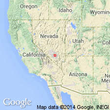
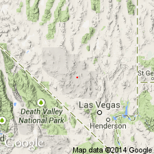
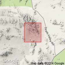
Named for the playa, 9 mi east of Banded Mountain, Nye Co., southern NV.
Source: GNU records (USGS DDS-6; Menlo GNULEX); US geologic names lexicon (USGS Bull. 1350, p. 554).

- Usage in publication:
-
- Papoose Lake Member*
- Modifications:
-
- Revised
- AAPG geologic province:
-
- Great Basin province
Summary:
Comprises 3 subunits. About lower fifth is distinctive dark-gray limestone thinly interbedded and interlaminated with slightly coarser grained medium-gray limestone. Basal subunit equivalent to unit A of upper part of Johnson and Hibbard's (1957) Yucca Flat Formation. Overlying subunit is well-bedded laminated to thin-bedded light- to medium-gray limestone with minor dolomite and several thin zones containing brownish-weathering siltstone laminae. Upper 2/3's is heterogeneous; much of it is well-bedded light- to medium-gray thick-bedded dolomite and limestone. Total thickness is about 2160 ft. Overlies Carrara Formation which name replaces Latham Shale, Chambless Limestone, and Cadiz Formation for entire transitional sequence between quartzite of Lower Cambrian Wood Canyon Formation and carbonate of Bonanza King Formation. Papoose Lake Member is Middle Cambrian age.
Source: GNU records (USGS DDS-6; Menlo GNULEX).

- Usage in publication:
-
- Papoose Lake Member*
- Modifications:
-
- Areal extent
- AAPG geologic province:
-
- Great Basin province
Summary:
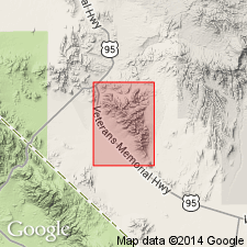
Papoose Lake Member of Bonanza King Formation geographically extended into report area [southern Avawatz Mountains, northeastern Mojave Desert region, CA]. Age given as Cambrian.
Source: GNU records (USGS DDS-6; Menlo GNULEX).

- Usage in publication:
-
- Papoose Lake Member*
- Modifications:
-
- Areal extent
- AAPG geologic province:
-
- Great Basin province
Summary:
Papoose Lake Member of Bonanza King Formation geographically extended into report area [Bare Mountain, Nye Co, NV]. Age shown as Cambrian.
Source: GNU records (USGS DDS-6; Menlo GNULEX).
For more information, please contact Nancy Stamm, Geologic Names Committee Secretary.
Asterisk (*) indicates published by U.S. Geological Survey authors.
"No current usage" (†) implies that a name has been abandoned or has fallen into disuse. Former usage and, if known, replacement name given in parentheses ( ).
Slash (/) indicates name conflicts with nomenclatural guidelines (CSN, 1933; ACSN, 1961, 1970; NACSN, 1983, 2005, 2021). May be explained within brackets ([ ]).

