The National Geologic Map Database is migrating to a new infrastructure. We apologize for any service disruptions during this process.
|
|---|


- Usage in publication:
-
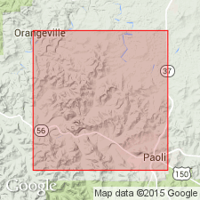
- Paoli limestone
- Modifications:
-
- Named
- Dominant lithology:
-
- Limestone
- AAPG geologic province:
-
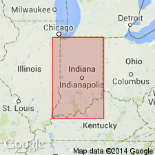
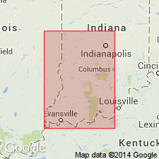
- Illinois basin
Summary:
Named Paoli limestone for Paoli, Orange Co., IN. Consists of 60 to 90 feet of massive, close-textured limestone, slightly broken at the top by beds of calcareous shale, and near the middle by included chert nodules; generally the ground mass is lithographic. Underlain by Lost River chert; overlain by first Kaskaskia sandstone. Assigned to St. Louis group.
Source: GNU records (USGS DDS-6; Reston GNULEX).
- Usage in publication:
-
- Paoli limestone
- Modifications:
-
- Revised
- Dominant lithology:
-
- Oolite
- AAPG geologic province:
-
- Illinois basin
Summary:
Basal contact of Paoli limestone (defined by Elrod, 1899) raised from top of Lost River chert to top of Ste. Genevieve limestone. Composed of dark gray to nearly white oolite. Overlain by Mooretown sandstone. Is basal formation of Chesterian series in Indiana.
Source: GNU records (USGS DDS-6; Reston GNULEX).
- Usage in publication:
-
- Paoli Limestone*
- Modifications:
-
- Overview
- AAPG geologic province:
-
- Illinois basin
Summary:
Present usage of Paoli Limestone in KY. Paoli described as light-olive-gray to light-gray, sublithographic to medium-grained, dense, in part oolitic, locally phosphatic limestone. Generally thick- to very thick bedded, massive to blocky, ledge-forming. Fossils include diminutive PENTREMITES spp., and crinoid debris, TALAROCRINUS spp., small brachiopods, and horn corals. Thickness ranges from 0 to 50 ft. Underlain by Ste. Genevieve Limestone; unconformably overlain by Mooretown Formation [Bethel Formation]. Basal contact tends to be illusive because no distinctive change in lithology occurs. Base is located above the highest occurrence of PLATYCRINITES PENICILLUS and below the lowest TALAROCRINUS sp. Silicified breccia beds (Bryantsville Breccia Bed) often occur at top of underlying Ste. Genevieve.
Source: GNU records (USGS DDS-6; Reston GNULEX).
- Usage in publication:
-
- Paoli Limestone
- Modifications:
-
- Areal extent
- Not used
- AAPG geologic province:
-
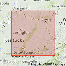
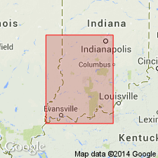
- Cincinnati arch
Summary:
Lower part of interval of limestone called Paoli-Beaver Bend by McFarlan and Walker (1956) named Miller Knob Member of Slade Formation in eastern KY. Name Paoli rejected for use in area of report (eastern KY).
Source: GNU records (USGS DDS-6; Reston GNULEX).

- Usage in publication:
-
- Paoli Limestone
- Modifications:
-
- Overview
- AAPG geologic province:
-
- Illinois basin
Summary:
Present (1986) usage of Paoli Limestone in Indiana. Paoli Limestone comprises the rocks between the Ste. Genevieve Limestone (below) and the Bethel Formation. Includes rocks at base formerly assigned to the Aux Vases Sandstone, which is no longer recognized in Indiana. Upper part composed of thin to thick-bedded skeletal or oolitic limestone; lower part is skeletal and micritic limestone and shale. Sandstone occurs in lowermost part. Commonly ranges in thickness from 20 to 35 ft in outcrop to 65 ft in subsurface. Occurs in outcrop from Ohio River northward to west-central IN. Topmost formation of Blue River Group.
Source: GNU records (USGS DDS-6; Reston GNULEX).
- Usage in publication:
-
- Paoli Limestone
- Modifications:
-
- Revised
- AAPG geologic province:
-
- Illinois basin
Summary:
Usage of the Blue River Group in Indiana (Shaver and others, 1986) is here revised. This new nomenclature is now considered official IN State usage. Both in the subsurface and in outcrop, divided into (ascending) St. Louis, Ste. Genevieve, and Paoli Limestones. In this study Paoli Limestone rather than the name Renault Formation is adopted for use in the subsurface of Indiana. Aux Vases and Renault, previously formations in the subsurface, now regarded as members of Paoli Limestone, replacing Popcorn and Shetlerville Members of previous surface usage. Yankeetown and Downeys Bluff Members overlie the Aux Vases and Renault.
Source: GNU records (USGS DDS-6; Reston GNULEX).
- Usage in publication:
-
- Paoli Limestone*
- Modifications:
-
- Overview
- AAPG geologic province:
-
- Illinois basin
Summary:
Used as Mississippian (Chesterian) Paoli Limestone of Blue River Group in IN. Includes (ascending) Aux Vases, Renault, Yankeetown, and Downeys Bluff Members. Authors follow usage of Droste and Carpenter (1990).
Source: GNU records (USGS DDS-6; Reston GNULEX).
For more information, please contact Nancy Stamm, Geologic Names Committee Secretary.
Asterisk (*) indicates published by U.S. Geological Survey authors.
"No current usage" (†) implies that a name has been abandoned or has fallen into disuse. Former usage and, if known, replacement name given in parentheses ( ).
Slash (/) indicates name conflicts with nomenclatural guidelines (CSN, 1933; ACSN, 1961, 1970; NACSN, 1983, 2005, 2021). May be explained within brackets ([ ]).