

- Usage in publication:
-
- Orr formation*
- Modifications:
-
- Named
- Dominant lithology:
-
- Limestone
- Shale
- AAPG geologic province:
-
- Great Basin province
Summary:
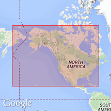
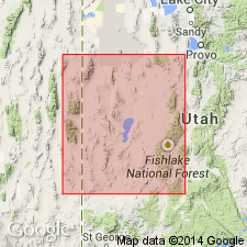
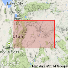
Named for Orr Ridge, a spur extending eastward from the main mass of Notch Peak on south side of Weeks Canyon, House Range, Millard Co, UT, also designated the type locality, in the Great Basin province. Composed of gray slightly arenaceous limestone and shale 1,825 ft thick at type. Overlies Weeks formation; underlies Notch Peak formation. Contains Upper Cambrian fossils.
Source: GNU records (USGS DDS-6; Denver GNULEX).
- Usage in publication:
-
- Orr Formation
- Modifications:
-
- Revised
- AAPG geologic province:
-
- Great Basin province
Summary:
Revised in that unit overlies newly named Wah Wah Summit Formation in Wah Wah, southern House and Cricket Ranges, western UT, Great Basin province. Late Cambrian age.
Source: GNU records (USGS DDS-6; Denver GNULEX).
- Usage in publication:
-
- Orr Formation*
- Modifications:
-
- Overview
- Revised
- Dominant lithology:
-
- Limestone
- Shale
- AAPG geologic province:
-
- Great Basin province
Summary:
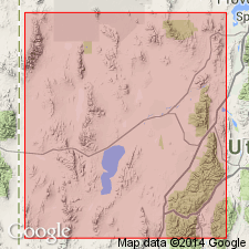
Type section designated and measured in SE1/4 sec 28, T18S, R13W on northeast side of Orr Ridge for Orr and for its newly named members: Big Horse Limestone, Candland Shale, and Sneakover Limestone Member. Reference section designated near Lawson Cove Reservoir, northern Wah Wah Mountains in SW1/4 sec 29, T24S, R14W, and for Orr and its Steamboat Pass Member (new). Cannot be traced into central UT. Divided in western UT into: Big Horse Limestone (new), Candland Shale (new), Johns Wash Limestone (reduced in stratigraphic rank), Corset Spring Shale (reduced in stratigraphic rank), Corset Spring Shale (reduced in stratigraphic rank), and Sneakover Limestone (new) Members in House Range, Great Basin province, where it overlies Weeks Limestone and underlies Notch Peak Limestone conformably. Divided in western UT in Wah Wah Mountains into: Big Horse Limestone, Steamboat Pass Shale (new), and Sneakover Limestone Member where it overlies Wah Wah Summit Formation and underlies Notch Peak Formation. Is of Late Cambrian age. Correlates with: Hicks Formation of Deep Creek Range, UT; Straight Canyon Formation of Dugway Range, UT; and Opex Formation of East Tintic Mountains, UT. Correlates with: Lincoln Peak, Johns Wash, Corset Spring, and Notch Peak Formations of the southern Snake Range, NV.
Source: GNU records (USGS DDS-6; Denver GNULEX).
- Usage in publication:
-
- Orr Formation*
- Modifications:
-
- Revised
- AAPG geologic province:
-
- Great Basin province
Summary:
Sneakover Limestone Member, upper member of Orr Formation underlies the Hellnmaria Member, which is one of three newly-named members of the Notch Peak Formation, in Millard Co, UT in the Great Basin province. Is of Late Cambrian (Franconian) age. Correlation chart. Upper contact easy to select. Sneakover is a silty, medium-bedded, ledge-forming lime-mudstone with phosphatic brachiopods and trilobites, whereas basal Notch Peak forms massive cliffs and is barren of shelly fossils.
Source: GNU records (USGS DDS-6; Denver GNULEX).
For more information, please contact Nancy Stamm, Geologic Names Committee Secretary.
Asterisk (*) indicates published by U.S. Geological Survey authors.
"No current usage" (†) implies that a name has been abandoned or has fallen into disuse. Former usage and, if known, replacement name given in parentheses ( ).
Slash (/) indicates name conflicts with nomenclatural guidelines (CSN, 1933; ACSN, 1961, 1970; NACSN, 1983, 2005, 2021). May be explained within brackets ([ ]).