The National Geologic Map Database is migrating to a new infrastructure. We apologize for any service disruptions during this process.
|
|---|


- Usage in publication:
-
- Orangeville shales
- Modifications:
-
- Original reference
- Dominant lithology:
-
- Shale
- AAPG geologic province:
-
- Appalachian basin
Summary:
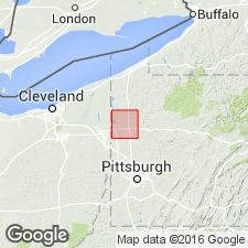
Orangeville shales named. Composed of a group of shales, prevailingly blue, but often rusty or reddish brown on exposed surfaces, always more or less argillaceous, seldom exhibiting sandy layers more than 6 in. thick, and containing considerable quantities of scattered iron-ore balls. Is lowest surface formation in Mercer Co., PA. About 75 ft thick at Orangeville, near State line, where most of it is exposed. Underlies Sharpsville sandstone.
Source: GNU records (USGS DDS-6; Reston GNULEX).
- Usage in publication:
-
- Orangeville shale*
- Modifications:
-
- Revised
- AAPG geologic province:
-
- Appalachian basin
Summary:
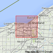
Cuyahoga formation raised to group rank in its typical area, and its subdivisions (ascending) Orangeville shale, Sharpsville sandstone, and Meadville shale are raised to formation rank. In Cleveland district, OH, Orangeville is very homogeneous except that it carries a fairly persistent sandstone member, the Aurora, from 6 to 10 ft thick, 10 ft or less above base. This bed is absent in some sections, as at Berea. The few ft of shale below this sandstone is on the horizon of Sunbury shale of central and southern OH. In Cleveland district, this shale zone is not easily separable from Cuyahoga beds. Thickness about 125 ft. In some areas, underlies Sharon conglomerate.
Source: GNU records (USGS DDS-6; Reston GNULEX).
- Usage in publication:
-
- Orangeville shale*
- Modifications:
-
- Revised
- AAPG geologic province:
-
- Appalachian basin
Summary:
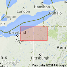
Orangeville shale of Cuyahoga group. Orangeville, at its type locality on Pennsylvania-Ohio State line, consists of about 75 feet of gray to brown hard semifissile clay shale containing a few thin flagstones. Traced eastward into vicinity of Titusville, the flags in the Orangeville increase in number, and the Orangeville merges into Sharpsville sandstone. In northeastern Ohio, the Orangeville has a basal carbonaceous shale member, the Sunbury, which can be traced throughout Ohio. In Cuyahoga and Geauga Counties, northeastern Ohio, Aurora sandstone and Chardon sandstone members are present. Age is Mississippian.
Source: US geologic names lexicon (USGS Bull. 1200, p. 2843-2844).
- Usage in publication:
-
- Orangeville shale*
- Modifications:
-
- Revised
- AAPG geologic province:
-
- Appalachian basin
Summary:
Following members are recognized in report area: Sunbury, Aurora siltstone, Chardon siltstone, Bartholomew siltstone (new), and Hungry Run sandstone (new). Overlies Shellhammer Hollow formation (new).
Source: GNU records (USGS DDS-6; Reston GNULEX).
- Usage in publication:
-
- Orangeville Shale*
- Modifications:
-
- Age modified
- AAPG geologic province:
-
- Appalachian basin
Summary:
Age of Orangeville Shale of Cuyahoga Group changed from Mississippian to Early Mississippian.
Source: GNU records (USGS DDS-6; Reston GNULEX).
- Usage in publication:
-
- Orangeville Shale Member
- Modifications:
-
- Revised
- AAPG geologic province:
-
- Appalachian basin
Summary:
In PA, the Cuyahoga has traditionally been given group rank and subdivided into three formations: Orangeville Shale, Sharpsville Sandstone, and Meadville Shale. Because of limited mappability, the subdivisions are herein regarded as members of the Cuyahoga Formation, which is practically all shale in the study area.
Source: GNU records (USGS DDS-6; Reston GNULEX).
For more information, please contact Nancy Stamm, Geologic Names Committee Secretary.
Asterisk (*) indicates published by U.S. Geological Survey authors.
"No current usage" (†) implies that a name has been abandoned or has fallen into disuse. Former usage and, if known, replacement name given in parentheses ( ).
Slash (/) indicates name conflicts with nomenclatural guidelines (CSN, 1933; ACSN, 1961, 1970; NACSN, 1983, 2005, 2021). May be explained within brackets ([ ]).