- Usage in publication:
-
- Oasis Formation*
- Modifications:
-
- Named
- Biostratigraphic dating
- Dominant lithology:
-
- Limestone
- Dolomite
- AAPG geologic province:
-
- Great Basin province
Summary:
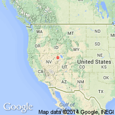
Named derived from small village on HWY 80, Cobra 7.5' quad, 30 km northwest of type section. Type section designated as exposures southeast of Silver Zone Pass, sec.22 T35N R68E, West Morris Basin 7.5' quad in central Toano Range, Elko Co, NV. Is 145-m-thick sequence of light-gray recrystallized limestone and bluish-gray dolomite. Overlies Shafter Formation (new). Underlies Dunderberg Shale. CREPICEPHALUS Assemblage Zone fauna occur between 7 and 10 m above base of unit at type. Overlying Dunderberg contains APHELASPIS Assemblage Zone fauna. Thus Oasis Formation is considered early Late Cambrian in age.
Source: GNU records (USGS DDS-6; Menlo GNULEX).
For more information, please contact Nancy Stamm, Geologic Names Committee Secretary.
Asterisk (*) indicates published by U.S. Geological Survey authors.
"No current usage" (†) implies that a name has been abandoned or has fallen into disuse. Former usage and, if known, replacement name given in parentheses ( ).
Slash (/) indicates name conflicts with nomenclatural guidelines (CSN, 1933; ACSN, 1961, 1970; NACSN, 1983, 2005, 2021). May be explained within brackets ([ ]).

