- Usage in publication:
-
- Neylandville marl*
- Modifications:
-
- Biostratigraphic dating
- AAPG geologic province:
-
- East Texas basin
Summary:
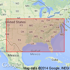
Is basal formation of Navarro group. Overlies Taylor marl. Underlies Nacatoch sand of Navarro group. Is shown (on fig. 1) to correlate with Saratoga chalk in AR and with Mount Laurel sand in NJ. Biostratigraphic dating on basis of the Maestrichtian echinoid HEMIASTER WETHERBYI De Loriol recorded from the Neylandville at USGS locality 15523, 2.5 mi air line south of Ben Hur, Limestone Co, TX in East Texas basin. Age is early Maestrichtian (Late Cretaceous). Division of the Maestrichtian into three parts (early, middle, and late) is arbitrary. It signifies merely relative position.
Source: GNU records (USGS DDS-6; Denver GNULEX).

- Usage in publication:
-
- Neylandville Formation
- Modifications:
-
- Mapped 1:250k
- Dominant lithology:
-
- Clay
- AAPG geologic province:
-
- East Texas basin
Summary:
Neylandville Formation. Clay, calcareous, silty, sandy, medium-gray; weathers light-gray, forms somewhat irregular topography; scattered marine megafossils. Thickness 752 feet, feathers out eastward. Lies above Marlbrook Marl and below Navarro Group, undivided. Age is Late Cretaceous.
[Mapped in central western part of map sheet, btw. North Sulphur and South Sulphur Rivers, in Delta and Hunt Cos., northeastern TX.]
Source: Publication.

- Usage in publication:
-
- Neylandville Formation
- Modifications:
-
- Areal extent
- AAPG geologic province:
-
- East Texas basin
- Gulf Coast basin
Summary:
Neylandville Formation. Lies above Marlbrook Marl ("upper Taylor marl") and below Kemp Clay. Age is Late Cretaceous.
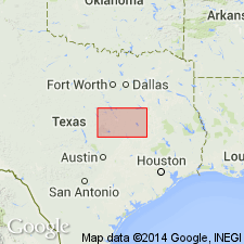
Not separately mapped. (Neylandville and Marlbrook [undifferentiated] mapped in Falls, Hill, Limestone, McLennan, Milam, and Navarro Cos., eastern TX.)
Source: Publication.

- Usage in publication:
-
- Neylandville Formation
- Modifications:
-
- Mapped 1:250k
- Dominant lithology:
-
- Clay
- Sand
- AAPG geologic province:
-
- East Texas basin
- Ouachita folded belt
Summary:
Neylandville Formation. Clay, calcareous, silty, sandy, sand content increases upward, medium gray; weathers light gray, forms irregular topography. Thickness 125+/- feet. Lies above Marlbrook Marl ("upper Taylor marl") and below Nacatoch Sand. Age is Late Cretaceous.
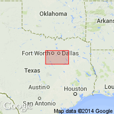
[Mapped in Collin, Hunt, and Rockwall Cos., eastern TX.]
Source: Publication.

- Usage in publication:
-
- Neylandville Formation
- Modifications:
-
- Mapped 1:250k
- Dominant lithology:
-
- Clay
- AAPG geologic province:
-
- East Texas basin
- Ouachita folded belt
Summary:
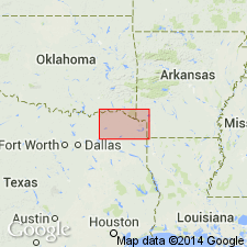
Pamphlet [p. 2]. Neylandville Marl. Clay, medium-gray, weathers to light-gray, calcareous, silty, sandy; forms irregular topography; marine megafossils scarce. Thickness approximately 75 feet. Lies below Navarro Group and above Marlbrook Marl. Age is Late Cretaceous.
[Mapped in southeastern corner of map sheet, in Hunt and Collins Cos., northeastern TX.]
Source: Publication.
For more information, please contact Nancy Stamm, Geologic Names Committee Secretary.
Asterisk (*) indicates published by U.S. Geological Survey authors.
"No current usage" (†) implies that a name has been abandoned or has fallen into disuse. Former usage and, if known, replacement name given in parentheses ( ).
Slash (/) indicates name conflicts with nomenclatural guidelines (CSN, 1933; ACSN, 1961, 1970; NACSN, 1983, 2005, 2021). May be explained within brackets ([ ]).

