

- Usage in publication:
-
- Shields Formation
- Modifications:
-
- Named
- Dominant lithology:
-
- Siltstone
- Sandstone
- Quartzite
- Shale
- AAPG geologic province:
-
- Northern Rocky Mountain region
Summary:
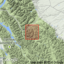
Lower formation of Kintla Group of Belt Supergroup named for exposures along ridge between Mount Shields and Blacktail Mountain, latitude 48 degrees 17 minutes north, longitude 113 degrees 29 minutes west (type section), Flathead Co, MT in the Northern Rocky Mountain region. Is composed of thin-bedded bright-red and maroon siltstone, sandstone, quartzite, and shale. Has black hematite staining, salt casts, oscillation ripple bedding, and mud cracks throughout. Is 2,551 ft thick at type, where it conformably underlies medium-bedded quartzites of the Red Peak Quartzite; the lower contact is covered. Elsewhere lower contact placed where gray, calcareous and dolomitic Shepard Formation grades into red and maroon siltstones of the Shields. Is a Precambrian unit.
Source: GNU records (USGS DDS-6; Denver GNULEX).
- Usage in publication:
-
- Shields Formation
- Modifications:
-
- Reference
- AAPG geologic province:
-
- Northern Rocky Mountain region
Summary:
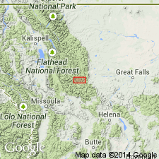
Name has been applied to all rocks in the Precambrian Belt Supergroup above the carbonate (Siyeh Formation of Glacier National Park or Helena Formation of Helena area). These same rocks were designated Camp Creek Series by Walcott in 1906, but that name has been little used and is abandoned in favor of Missoula Group in this report. The Camp Creek section is designated a reference section [but section not described] for the Missoula. The reference section is located along crest of the ridge parallel to and northwest of Camp Creek in secs 22, 28, and 33, T20N, R12W, Lewis and Clark Range, Powell Co, MT in Northern Rocky Mountain region where following formations of the Missoula are exposed (ascending order): Snowslip, Shepard, and Shields Formations, Bonner Quartzite, McNamara and Garnet Range Formations. Geologic map.
Source: GNU records (USGS DDS-6; Denver GNULEX).

- Usage in publication:
-
- Mount Shields Formation*
- Modifications:
-
- Overview
- AAPG geologic province:
-
- Northern Rocky Mountain region
Summary:
Rocks formerly assigned to Marsh Formation (abandoned) are part of the Snowslip, Shepard, and Mount Shields Formations of Missoula Group of the Precambrian Belt Supergroup in the Northern Rocky Mountain region. See figure 4 for correlation with the Purcell Supergroup of Alberta and British Columbia, Canada.
Source: GNU records (USGS DDS-6; Denver GNULEX).

- Usage in publication:
-
- Mount Shields Formation*
- Modifications:
-
- Named
- Dominant lithology:
-
- Siltstone
- Sandstone
- AAPG geologic province:
-
- Northern Rocky Mountain region
Summary:
Shields Formation of Childers (1963) renamed Mount Shields Formation of Missoula Group of Belt Supergroup in the Sun River Canyon area, in Northern Rocky Mountain region, because the name Shields is also used for a Precambrian formation in TN. Type section of Shields on a ridge between Mount Shields and Blacktail Mountain, lat 48 deg 17' N, long 113 deg 29' W, Flathead Co, MT, retained as type section for Mount Shields. Name Mount Shields also replaces use of red sandstone and red siltstone members in the upper part of the Hoadley Formation (abandoned) of Deiss (1943) and Mudge (1966) in the Sun River Canyon area. Mapped along west side of area from T20 to 21N, R9W, Lewis and Clark and Teton Cos. Geologic map. Correlation chart. Divided into a lower red sandstone member 600 to 1,100 ft thick and upper red siltstone member 800 to 1,000 ft thick. Lower member gradational with underlying Shepard Formation of Belt though transition zone as much as 100 ft thick. Lower member consists of thin dark red-brown, fine to very fine grained micaceous arkose sandstone beds interbedded with arkosic siltstone and silty dolomicrite. Upper member underlies Bonner Quartzite of Belt, a contact regarded as a disconformity, and consists of dark red-brown to gray-red, very thin bedded, finely micaceous siltstone and claystone; salt casts abundant. Precambrian age.
Source: GNU records (USGS DDS-6; Denver GNULEX).
- Usage in publication:
-
- Mount Shields Formation*
- Modifications:
-
- Paleomagnetics
- AAPG geologic province:
-
- Northern Rocky Mountain region
Summary:
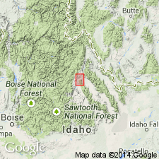
Polarity zonation and direction indicate that the upper Swauger Quartzite and Lawson Creek Formation of ID correlate with the upper Mount Shields Formation, Bonner Quartzite, and lower McNamara Formation of MT; all are in Northern Rocky Mountain region. Mount Shields assigned to the Proterozoic Y (previously Precambrian Y), the age designation for rocks 1600 to 900 m.y. old.
Source: GNU records (USGS DDS-6; Denver GNULEX).
For more information, please contact Nancy Stamm, Geologic Names Committee Secretary.
Asterisk (*) indicates published by U.S. Geological Survey authors.
"No current usage" (†) implies that a name has been abandoned or has fallen into disuse. Former usage and, if known, replacement name given in parentheses ( ).
Slash (/) indicates name conflicts with nomenclatural guidelines (CSN, 1933; ACSN, 1961, 1970; NACSN, 1983, 2005, 2021). May be explained within brackets ([ ]).