- Usage in publication:
-
- Morrow series
- Modifications:
-
- Revised
- AAPG geologic province:
-
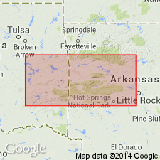
- Arkoma basin
Summary:
Pg. 93. Referred to as Morrow series.
Source: US geologic names lexicon (USGS Bull. 1200, p. 2605-2607).
- Usage in publication:
-
- Morrow subseries
- Modifications:
-
- Revised
- AAPG geologic province:
-
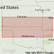
- Arkoma basin
Summary:
Pg. 11-13. Referred to as Morrow subseries. Rocks of Morrow age are exposed in narrow belt along most of boundary between Mississippian and Pennsylvanian beds in northeastern Oklahoma but are not known to extend into Kansas. Unlike development of these deposits in type region, near Fayetteville, Arkansas, Morrow beds of Oklahoma consist almost entirely of limestone. At many places it is difficult to determine contact between limestones of Morrow age and underlying lithologically similar Pitkin limestone of Chester age. Paleontologic distinctions between these two divisions indicate that disconformity at base of Morrow strata is an important boundary. Underlies Des Moines subseries.
Source: US geologic names lexicon (USGS Bull. 1200, p. 2605-2607).
- Usage in publication:
-
- Morrow series
- Modifications:
-
- Revised
- AAPG geologic province:
-
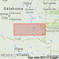
- Arkoma basin
- Ouachita folded belt
Summary:
Pg. 853, 854 (fig. 1), 857-859, 861-864, 889-912. Bendian system (period) is subdivided into two series: the older, the Pushmataha (new), and the younger, the Morrow. In southern Ouachitas, the Morrow is subdivided into (ascending) Union Valley sandstone, Round Prairie formation (new), and Barnett Hill formation (new). In frontal Ouachitas and north of Arbuckles, includes (ascending) Union Valley sandstone, Primrose formation, Limestone Gap shale (new), Wapanucka formation, and Barnett Hills formation. South of Arbuckles, includes (ascending) Hale formation (Rod Club, Overbrook, Lake Ardmore), Primrose, Limestone Gap shale, Wapanucka, and Barnett Hill. As shown on chart, the Morrow comprises most of Springer group and the Dornick Hills group. Underlies Pennsylvanian Des Moines series.
Source: US geologic names lexicon (USGS Bull. 1200, p. 2605-2607).
- Usage in publication:
-
- Morrow series
- Modifications:
-
- Revised
- AAPG geologic province:
-
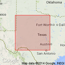
- Bend arch
- Llano uplift
Summary:
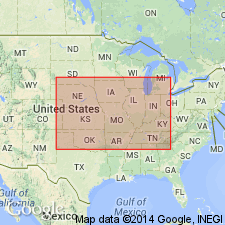
Pg. 81-87. Proposed four-fold division series classification of Pennsylvanian (R.C. Moore, 1932, (abs.) GSA Bull., v. 43, p. 279-280) does not seem adequate nor applicable. Harlton (1938) placed Stanley and Jackfork groups of "Bendian system" of southern Oklahoma in new series which he called Pushmataha with maximum aggregate thickness of more than 9,000 feet beneath 2,000 feet of beds of Morrow series. A post-Morrow and pre-Strawn series between type Marble Falls and Strawn sediments also appears necessary. Name Lampasas series is here proposed for these beds. Report includes stratigraphic chart.
Source: US geologic names lexicon (USGS Bull. 1200, p. 2605-2607).
- Usage in publication:
-
- Morrowan*
- Modifications:
-
- Revised
Summary:
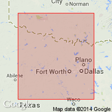
Pg. 657-706, Chart no. 6. In upward order, Midcontinent time-rock divisions of the Pennsylvanian are designated as Morrowan, Lampasas [Atokan], Desmoinesian, Missourian, and Virgilian.
Source: US geologic names lexicon (USGS Bull. 1200, p. 2605-2607).
- Usage in publication:
-
- Morrow series
- Modifications:
-
- Reference
Summary:
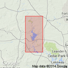
p. 140 (chart 2), 144-146. Morrow series. Chart shows classification and correlation of type section Pennsylvanian section of eastern and western Pennsylvania with co-standard sections of Appalachian and Midcontinent regions. Midcontinent region section comprises (ascending) Springer, Morrow, Lampasas, Des Moines. Missouri, and Virgil series. Springer is used in preference to Harlton's Pushmataha series. Morrow is equivalent to New River series of Appalachian region and to most of Middle Pottsville of eastern Pennsylvania. Reference section of Morrow designated.
Reference section: Ardmore basin, OK.
Source: US geologic names lexicon (USGS Bull. 1200, p. 2605-2607).
- Usage in publication:
-
- Morrow series
- Modifications:
-
- Revised
Summary:
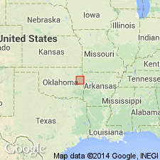
Pg. 181-186. Lampasas is not appropriate as series name because, in its type area, it is only partly exposed and because, as redefined by Cheney and others (1945) it includes beds of Des Moines age and excludes part of Marble Falls, which is post-Morrow in age. Proposed that Atoka formation be elevated to Atoka series and defined to include all beds from top of Wapanucka limestone, Morrow series, to base of Hartshorne sandstone, Des Moines series.
Source: US geologic names lexicon (USGS Bull. 1200, p. 2605-2607).
- Usage in publication:
-
- Morrow series
- Modifications:
-
- Revised
Summary:
Pg. 22-49, pls., measured sections. Morrow series. Report is a detailed study of outcrops of Morrow series of rocks in northeastern Oklahoma, in an area lying generally north and east of Arkansas River and east of Neosho (Grand) River. Morrow series is basal Pennsylvanian in this area and is considered middle Pottsville in age. The Morrow should be defined to include beds between the Pitkin formation of Chester series (Mississippian), and Atoka formation of Des Moines series, upper Pottsville.
Source: US geologic names lexicon (USGS Bull. 1200, p. 2605-2607).
- Usage in publication:
-
- Morrowan*
- Modifications:
-
- Overview
Summary:
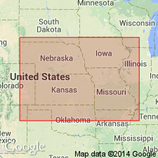
Pg. 2019. Deposits of Morrowan age are exposed in northeastern Oklahoma and are recognized in subsurface of western Kansas. In terms of fusuline zonation, Morrowan deposits are defined as belonging to zone of MILLERELLA. Probably throughout northern Midcontinent area, including Pennsylvanian deposits north of latitude of Tulsa, lower boundary of Morrowan series, where rocks of this age are present, coincides with major unconformity that separates Pennsylvanian from older systems. Upper boundary is well-marked disconformity in most places, but in parts of subsurface there is indication that Morrowan strata are limited above by a disconformity or nonconformity. Superjacent rocks seem definitely assignable to Desmoinesian series in parts of region, but in other parts post Morrowan-pre-Desmoinesian beds may be differentiated.
Source: US geologic names lexicon (USGS Bull. 1200, p. 2605-2607).
- Usage in publication:
-
- Morrowan stage
- Modifications:
-
- Revised
Summary:
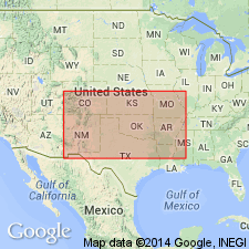
Pg. 286. Morrowan stage. Ardian series (new) comprises rocks assigned to Springeran and Morrowan stages.
Source: US geologic names lexicon (USGS Bull. 1200, p. 2605-2607).
- Usage in publication:
-
- Morrow series*
- Modifications:
-
- Overview
Bradley, W.H., 1956, Use of Series subdivisions of the Mississippian and Pennsylvanian Systems in reports by members of the U.S. Geological Survey: American Association of Petroleum Geologists Bulletin, v. 40, no. 9, p. 2284-2285.
Summary:
Pg. 2284-2285. In Midcontinent region (including Arkansas, Iowa, Kansas, Missouri, Nebraska, and Oklahoma), U.S. Geological Survey uses the following series subdivision of the Pennsylvanian: Morrow, Atoka, Des Moines, Missouri, and Virgil. Morrow is early Pennsylvanian.
Source: US geologic names lexicon (USGS Bull. 1200, p. 2605-2607).
- Usage in publication:
-
- Morrowan
- Modifications:
-
- Revised
Summary:
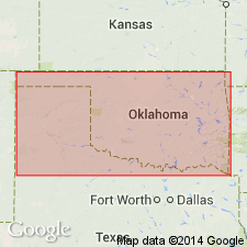
Pg. 17 (fig. 2), 41-44, pl. 1. Basal part of Atoka formation in Boktukola syncline is Morrowan; middle and upper parts are Atokan and are equivalent to the Atoka formation of frontal Ouachitas.
Source: US geologic names lexicon (USGS Bull. 1200, p. 2605-2607).
- Usage in publication:
-
- Morrowan series
- Modifications:
-
- Overview
Summary:
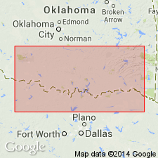
Pg. 6 (fig. 2), 18-25. Morrowan series, as used in this report, includes strata between Springeran series and Atokan series. It is identical in Ardmore area with Morrow series as defined by Cheney and others (1945). It includes maximum of about 2,000 feet of strata, from base of Primrose sandstone to a horizon above Otterville limestone and below Bostwick conglomerates. This is sequence of strata which Harlton (1956) designated Golf Course formation.
[Misprint (US geologic names lexicon, USGS Bull. 1200, p. 2607): authors are Tomlinson and McBee.]
Source: US geologic names lexicon (USGS Bull. 1200, p. 2605-2607).
For more information, please contact Nancy Stamm, Geologic Names Committee Secretary.
Asterisk (*) indicates published by U.S. Geological Survey authors.
"No current usage" (†) implies that a name has been abandoned or has fallen into disuse. Former usage and, if known, replacement name given in parentheses ( ).
Slash (/) indicates name conflicts with nomenclatural guidelines (CSN, 1933; ACSN, 1961, 1970; NACSN, 1983, 2005, 2021). May be explained within brackets ([ ]).

