

- Usage in publication:
-
- Mooretown sandstone
- Modifications:
-
- Named
- Dominant lithology:
-
- Sandstone
- Shale
- AAPG geologic province:
-
- Illinois basin
Summary:
Named Mooretown sandstone for Mooretown, Lawrence Co., IN. Consists of shale and sandstone. Ranges from 10 to 60 ft in thickness, typically about 20 ft. Underlain by Paoli limestone; overlain by Beaver Bend limestone.
Source: GNU records (USGS DDS-6; Reston GNULEX).
- Usage in publication:
-
- Mooretown sandstone member
- Modifications:
-
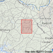
- Overview
- AAPG geologic province:
-
- Illinois basin
Summary:
Mooretown sandstone member of Renault formation occurs in north-central Kentucky overlying an unnamed limestone member [Paoli Limestone] and underlying the Beaver Bend limestone member. Thickness is irregular, up to 75 ft. Deposited on an irregular surface on underlying limestone. Composed of shale, limestone, and sandstone. Disappears from section towards the south.
Source: GNU records (USGS DDS-6; Reston GNULEX).
- Usage in publication:
-
- Mooretown sandstone
- Modifications:
-
- Not used
- AAPG geologic province:
-
- Illinois basin
Summary:
Bethel Formation used instead of Mooretown Sandstone. Bethel and Mooretown are same formation; Bethel has priority; Bethel has been used over wider area. Village of Mooretown no longer exists. Mooretown not completely exposed at type section.
Source: GNU records (USGS DDS-6; Reston GNULEX).
- Usage in publication:
-
- Mooretown Formation*
- Modifications:
-
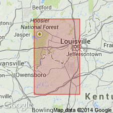
- Overview
- AAPG geologic province:
-
- Illinois basin
Summary:
One of several geologic quadrangles showing Mooretown Formation as it occurs in north-central Kentucky. Composed of sandstone, shale, and sandy limestone. Sandstone is quartzose, in beds 1 to 5 ft thick, commonly cross-bedded and ripplemarked. Sandstone occurs in channels eroded into underlying Paoli and Ste. Genevieve Limestone. Mooretown overlain by Beaver Bend Limestone. Age is Late Mississippian.
Source: GNU records (USGS DDS-6; Reston GNULEX).

- Usage in publication:
-
- Mooretown Formation
- Modifications:
-
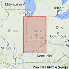
- Areal extent
- Not used
- AAPG geologic province:
-
- Illinois basin
Summary:
Name Mooretown Formation no longer recognized in Indiana by Indiana Geological Survey. Replaced by Bethel Formation, which has precedence.
Source: GNU records (USGS DDS-6; Reston GNULEX).
For more information, please contact Nancy Stamm, Geologic Names Committee Secretary.
Asterisk (*) indicates published by U.S. Geological Survey authors.
"No current usage" (†) implies that a name has been abandoned or has fallen into disuse. Former usage and, if known, replacement name given in parentheses ( ).
Slash (/) indicates name conflicts with nomenclatural guidelines (CSN, 1933; ACSN, 1961, 1970; NACSN, 1983, 2005, 2021). May be explained within brackets ([ ]).