The National Geologic Map Database is migrating to a new infrastructure. We apologize for any service disruptions during this process.
|
|---|


- Usage in publication:
-
- Minnewaste limestone*
- Modifications:
-
- First used
- Dominant lithology:
-
- Limestone
Summary:
First publication of name. Type section not given. Name is the Dakota Indian name for Cheyenne River. Nearly pure light-gray limestone about 25 ft thick for the greater part of its course. Extends from the vicinity of Cascade Springs northward to Buffalo Gap, and also present locally at the head of Bennet Canyon east of Angustora siding. One of the most extensive exposures is at the falls of the Cheyenne River. Lies above Lakota sandstone and is overlain by mudstone of Fuson formation. May be present at one point in the anticline on the east side of Old Woman Creek south of the Black Hills. Is of Early Cretaceous age.
Source: GNU records (USGS DDS-6; Denver GNULEX).
- Usage in publication:
-
- Minnewaste limestone member*
- Modifications:
-
- Revised
Summary:
Rank reduced to member status in a redefined Lakota formation. Underlies Fuson member; overlies an unnamed lower part of Lakota formation. Assigned to the Early Cretaceous.
Source: GNU records (USGS DDS-6; Denver GNULEX).
- Usage in publication:
-
- Minnewaste limestone member*
- Modifications:
-
- Reference
- Overview
- AAPG geologic province:
-
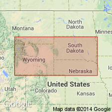
- Chadron arch
Summary:
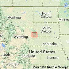
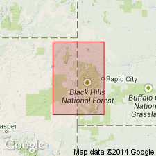
Ranges in composition from rather clean, dense, pinkish-gray limestone to calcareous sandstone; the typical rock is sandy limestone. Ranges in thickness from zero to a maximum of 80 ft; the greatest thickness was noted in a gully draining into the east side of Tepee Creek in the southeastern part of Cascade Springs quad. The reference section of redefined Lakota formation by Waage (1959, U.S. Geological Survey Bulletin 1081-B, p. 85, sec 11) is representative of the unit, and it is here suggested that this be taken as the reference section. Reference section in Fall River Canyon, NW1/4 sec 33, T7S, R6E, Hot Springs quad, Fall River Co, SD, on the Chadron arch. Is of Early Cretaceous age.
Source: GNU records (USGS DDS-6; Denver GNULEX).
- Usage in publication:
-
- Minnewaste Limestone Member*
- Modifications:
-
- Overview
- Areal extent
- AAPG geologic province:
-
- Chadron arch
Summary:
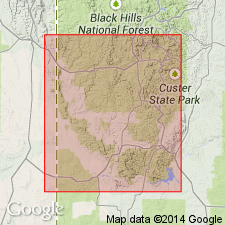
Summarizes lithologic variations and shows distribution of Minnewaste, middle of three members of Lakota Formation (ascending): Chilson, Minnewaste Limestone, and Fuson Members. Minnewaste is restricted to southern Black Hills, Fall River Co on Chadron arch--has not been recognized in western, northern, and much of eastern part of Black Hills. Locally overlies Chilson Member in southern Black Hills. In thickest part is almost pure limestone, but grades outward to sandy limestone and, toward the margins, to calcareous sandstone; highly brecciated and recemented with calcite; resists weathering, and forms a vertical cliff where exposed in the canyons. Contains freshwater sponge spicules; probably lacustrine. Assigned to the Early Cretaceous.
Source: GNU records (USGS DDS-6; Denver GNULEX).
For more information, please contact Nancy Stamm, Geologic Names Committee Secretary.
Asterisk (*) indicates published by U.S. Geological Survey authors.
"No current usage" (†) implies that a name has been abandoned or has fallen into disuse. Former usage and, if known, replacement name given in parentheses ( ).
Slash (/) indicates name conflicts with nomenclatural guidelines (CSN, 1933; ACSN, 1961, 1970; NACSN, 1983, 2005, 2021). May be explained within brackets ([ ]).