

- Usage in publication:
-
- McKenzie Canyon Limestone*
- Modifications:
-
- Named
- Dominant lithology:
-
- Limestone
- AAPG geologic province:
-
- Montana folded belt
Summary:
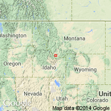
Named as the uppermost formation of Tendoy Group (new name) for exposures in McKenzie Canyon. Type section is in Bell Canyon in sec 17, T11S, R10W, Beaverhead Co, MT in the Montana folded belt province. Is composed of 140 m of gray, thin- to medium-bedded, sparsely cherty micrite, dismicrite, and pelmicrite with minor crinoidal wackestone, encrinite, pelsparite, evaporite-solution breccia, and silty dolomitic limestone. Is conformable with underlying Mission Canyon Limestone of Tendoy Group and with overlying Kibbey Sandstone of Snowcrest Range Group (new name). Is of Late Mississippian, early Meramecian age. Has a coral and conodont fauna. Was probably an intertidal and supratidal deposit. Represents a hitherto unrecognized facies belt near the shoreline of the karst plain developed on the craton after Mission Canyon time and prior to Snowcrest Range time. Measured section. Geologic maps. Composite sections. Correlation chart.
Source: GNU records (USGS DDS-6; Denver GNULEX).
- Usage in publication:
-
- McKenzie Canyon Limestone*
- Modifications:
-
- Age modified
- AAPG geologic province:
-
- Montana folded belt
Summary:
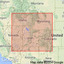
Age modified in Bell Canyon in the Tendoy Mountains, MT (Montana folded belt province) from Meramecian to Osagean and Meramecian. Modification not based on new evidence but on a reassignment of Mamet foram zone 12 to these two ages. Correlation charts.
Source: GNU records (USGS DDS-6; Denver GNULEX).
For more information, please contact Nancy Stamm, Geologic Names Committee Secretary.
Asterisk (*) indicates published by U.S. Geological Survey authors.
"No current usage" (†) implies that a name has been abandoned or has fallen into disuse. Former usage and, if known, replacement name given in parentheses ( ).
Slash (/) indicates name conflicts with nomenclatural guidelines (CSN, 1933; ACSN, 1961, 1970; NACSN, 1983, 2005, 2021). May be explained within brackets ([ ]).