- Usage in publication:
-
- Marsh shales*
- Modifications:
-
- Original reference
- Dominant lithology:
-
- Shale
- Sandstone
- AAPG geologic province:
-
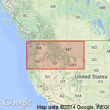
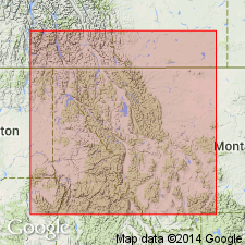
- Northern Rocky Mountain region
Summary:
Pg. 199-215. Marsh shales. Reddish shales and thick-bedded sandstones, 300 feet thick, forming top formation of Belt series in Marysville-Neihart region. Overlies Helena limestone and unconformably underlies Cambrian. Age is pre-Cambrian (Belt).
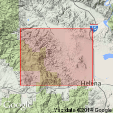
Named from Marsh Creek, north of Marysville, [Lewis and Clark Co.], Belt Mountains, southern central MT.
Source: US geologic names lexicon (USGS Bull. 896, p. 1308).

- Usage in publication:
-
- Marsh formation
- Modifications:
-
- Areal extent
- Dominant lithology:
-
- Shale
- Quartzite
- Argillite
- AAPG geologic province:
-
- Northern Rocky Mountain region
Summary:
Pg. 838-839. [Marsh formation of Missoula group.] Marsh formation overlies Helena dolomite conformably, as shown in exposures on South Park Street in town of Helena. Here, it consists of maroon mud-cracked shale (or argillite) and thin interbeds of mud-flake breccia and quartzite. It is 250 feet thick here and is overlain disconformably by Middle Cambrian Flathead quartzite. Type section is at mouth of Marsh Creek, just outside Marysville [this report] map area. Stratigraphic relations not well shown there. Barrell (1907, USGS Prof. Paper 57) ignored type section in his report on Marysville district. According to Walcott (1899), Marsh formation is 300 feet at type locality and constitutes topmost formatton of Belt terrane, and this characterization, though inadequate, has now done duty for 50 years. Formation thickens from Helena northwestward to 3,000 feet at Marysville. Here it underlies Greenhorn Mountain quartzite (new). Top of Marsh on north flank of Greenhorn Mountain is deep-maroon argillite, ripple marked and mud cracked and interbedded with thin quartzites 1 to 2 inches thick. Age is pre-Cambrian (Belt).
Source: US geologic names lexicon (USGS Bull. 1200, p. 2393-2394).

- Usage in publication:
-
- Marsh Formation†
- Modifications:
-
- Abandoned
Summary:
Abandoned. Rocks formerly assigned to Marsh are now included in three widespread mappable Precambrian formations: the Snowslip, Shepard, and Mount Shields of the Missoula Group of the Belt Supergroup, Northern Rocky Mountain region.
Source: GNU records (USGS DDS-6; Denver GNULEX).
For more information, please contact Nancy Stamm, Geologic Names Committee Secretary.
Asterisk (*) indicates published by U.S. Geological Survey authors.
"No current usage" (†) implies that a name has been abandoned or has fallen into disuse. Former usage and, if known, replacement name given in parentheses ( ).
Slash (/) indicates name conflicts with nomenclatural guidelines (CSN, 1933; ACSN, 1961, 1970; NACSN, 1983, 2005, 2021). May be explained within brackets ([ ]).

