- Usage in publication:
-
- Louisville limestone
- Modifications:
-
- Named
- Dominant lithology:
-
- Limestone
- AAPG geologic province:
-
- Cincinnati arch
Summary:
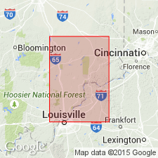
Named Louisville limestone. Argillaceous or dolomitic limestone, usually light or medium brown. "Locally or at certain horizons, however, the limestone is very white [and apparently much purer carbonate]...is much harder and will withstand...weathering better than the brown layers." Very fossiliferous. Thickness ranges from 20 to 60 ft. Overlies Waldron shale.
Source: GNU records (USGS DDS-6; Reston GNULEX).
- Usage in publication:
-
- Louisville limestone*
- Modifications:
-
- Overview
- AAPG geologic province:
-
- Cincinnati arch
Summary:
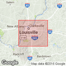
Louisville limestone is "...mostly a gray, fine-grained, thick-bedded low magnesian limestone...is highly fossiliferous...." Thickness ranges from 42 to 100 ft. Unconformably overlies Waldron shale; unconformably underlies Jeffersonville limestone of Devonian age.
Source: GNU records (USGS DDS-6; Reston GNULEX).
- Usage in publication:
-
- Louisville Limestone
- Modifications:
-
- Overview
- AAPG geologic province:
-
- Cincinnati arch
Summary:
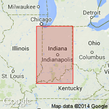
Louisville Limestone is light-colored to brown fine-grained thick-bedded argillaceous limestone and dolomitic limestone in southern IN. Characterized by many coral species. "Northward, tan to brown fine-grained thick-bedded dolomitic limestone and dolomite that has few recognizable fossils is characteristic, although mottled sublithographic facies are common as are cherty zones." Thickness ranges from less than 50 ft in south to 85 ft in north. Outcrop trends northward from near Louisville, KY, and then eastward toward the IN-OH border in the northern part of IN. Fossils suggest a middle Niagaran age, Wenlock in the British standard.
Source: GNU records (USGS DDS-6; Reston GNULEX).
- Usage in publication:
-
- Louisville Limestone*
- Modifications:
-
- Overview
- AAPG geologic province:
-
- Cincinnati arch
Summary:
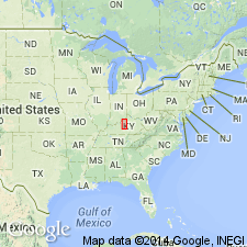
Comprehensive description of Louisville Limestone cropping out on west side of Cincinnati Arch in KY.
Source: GNU records (USGS DDS-6; Reston GNULEX).
- Usage in publication:
-
- Louisville Limestone
- Modifications:
-
- Revised
- AAPG geologic province:
-
- Cincinnati arch
Summary:
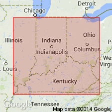
The Louisville Limestone at its type locality in north-central KY and in southern IN is here divided into three newly named members (ascending): Big Rock, Shanks Quarry, and Cross Hill. The Big Rock (40 ft thick) includes 10 ledges, the lower 7 of which are not exposed at the Louisville section studied by Butts (1915). A composite stratotype for the Louisville is here designated and consists of the three localities of its members. The Shanks Quarry, (40 ft thick) includes 11 ledges, and the Cross Hill (10 ft thick) includes only 2 ledges. Ledge terminology follows that of the early quarrymen. The precise paraconformity between the Louisville and the overlying Jeffersonville has been determined based on agglutinate foraminifers and the guide fossil INAURIS TUBULATA. The missing section of the Louisville varies from a few feet in its type area to 45 ft in eastern Jefferson Co., KY, and southeastern Clark Co., IN, and to as much as 80 ft in Scott Co., IN.
Source: GNU records (USGS DDS-6; Reston GNULEX).
For more information, please contact Nancy Stamm, Geologic Names Committee Secretary.
Asterisk (*) indicates published by U.S. Geological Survey authors.
"No current usage" (†) implies that a name has been abandoned or has fallen into disuse. Former usage and, if known, replacement name given in parentheses ( ).
Slash (/) indicates name conflicts with nomenclatural guidelines (CSN, 1933; ACSN, 1961, 1970; NACSN, 1983, 2005, 2021). May be explained within brackets ([ ]).

