- Usage in publication:
-
- Lookout sandstone*
- Modifications:
-
- Named
- Dominant lithology:
-
- Sandstone
- Shale
- Conglomerate
- AAPG geologic province:
-
- Appalachian basin
Summary:
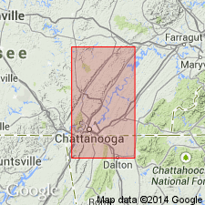
Name Lookout sandstone of Pottsville group introduced in this report for exposures on Lookout Mountain, northeastern AL and northwestern GA. Unit is composed of argillaceous shale or fire clay, sandy shale, and sandstone with 10 to 70 ft of conglomerate at top. Thickness 50 to 600 ft. In thicker portions contains at least two coal seams. Basal formation of Coal Measures. Overlies Bangor limestone and underlies Walden sandstone. Equivalent to Millstone grit of Smith. Age is Pennsylvanian.
Source: GNU records (USGS DDS-6; Reston GNULEX).
- Usage in publication:
-
- Lookout sandstone*
- Modifications:
-
- Revised
- AAPG geologic province:
-
- Appalachian basin
Summary:
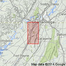
Lookout sandstone divided into two members, Gizzard below and Sewanee above. Underlies Whitwell shale; overlies Pennington shale.
Source: GNU records (USGS DDS-6; Reston GNULEX).
- Usage in publication:
-
- Lookout sandstone
- Modifications:
-
- Not used
- AAPG geologic province:
-
- Appalachian basin
Summary:
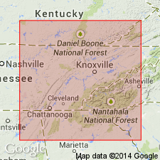
Though terms Lookout and Walden were extensively applied in TN for a time, they have been replaced by term Lee, extended from VA.
Source: GNU records (USGS DDS-6; Reston GNULEX).
- Usage in publication:
-
- Lookout Sandstone*
- Modifications:
-
- Areal extent
- Overview
- AAPG geologic province:
-
- Appalachian basin
Summary:
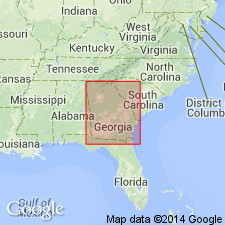
Name Lookout Sandstone and its Gizzard and Sewanee Members, not used in this report. Johnson's (1946) nomenclature is based on a miscorrelation and his Lookout Sandstone is not the same as that defined by Hayes (1892). A new nomenclature is defined here for northwest GA that consists of two formations and seven members. Gizzard Formation contains three members: Raccoon Mountain and Warren Point Members, replacements for the Lookout, and the Signal Point Shale. Crab Orchard Mountains Formation consists of four members: the Sewanee, Whitwell Shale, Newton Sandstone, and Vandever.
Source: GNU records (USGS DDS-6; Reston GNULEX).
- Usage in publication:
-
- Lookout Sandstone
- Modifications:
-
- Overview
- AAPG geologic province:
-
- Appalachian basin
Summary:
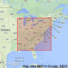
Lookout Sandstone used on GA State map. Following earlier nomenclature, unit is divided into Gizzard and overlying Sewanee.
Source: GNU records (USGS DDS-6; Reston GNULEX).
- Usage in publication:
-
- Lookout Formation*, Sandstone*
- Modifications:
-
- Areal extent
- Revised
- AAPG geologic province:
-
- Appalachian basin
Summary:
Lookout Formation or Lookout Sandstone is used only in GA. Equivalent to Gizzard Group and overlying Sewanee Conglomerate of Crab Orchard Mountains Group in adjacent areas of TN. Overlying Walden Sandstone is abandoned herein.
Source: GNU records (USGS DDS-6; Reston GNULEX).
For more information, please contact Nancy Stamm, Geologic Names Committee Secretary.
Asterisk (*) indicates published by U.S. Geological Survey authors.
"No current usage" (†) implies that a name has been abandoned or has fallen into disuse. Former usage and, if known, replacement name given in parentheses ( ).
Slash (/) indicates name conflicts with nomenclatural guidelines (CSN, 1933; ACSN, 1961, 1970; NACSN, 1983, 2005, 2021). May be explained within brackets ([ ]).

