

- Usage in publication:
-
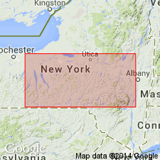
- Kalkberg limestone
- Modifications:
-
- Named
- Dominant lithology:
-
- Limestone
- AAPG geologic province:
-
- Appalachian basin
Chadwick, G.H., 1908, Revision of "the New York series": Science, new series, v. 28, p. 346-348.
Summary:
Named Kalkberg limestone for the local Dutch designation of the Helderbergian ridge; Kalkberg meaning lime hill. Used for unit above New Scotland or below Coeymans, and carrying a mixed fauna. It is highly developed and excellently silicified on Catskill Creek, Greene Co., where the beds show numerous thin parallel seams of black flint nodules. Age is Early Devonian.
Source: GNU records (USGS DDS-6; Reston GNULEX).
- Usage in publication:
-
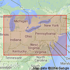
- Kalkberg Limestone
- Modifications:
-
- Revised
- AAPG geologic province:
-
- Appalachian basin
Summary:
A bentonite in the Kalkberg at Cherry Valley, NY, first described by Rickard (1962) is here identified as Bed A of the newly named Bald Hill Bentonite Beds (type locality in central PA). All three of the beds (A,B,C) occur within the middle member of the Kalkberg in NY. Elsewhere Beds A and B are found within the Corriganville or correlative New Scotland, and Bed C within the overlying Mandata Formation.
Source: GNU records (USGS DDS-6; Reston GNULEX).
- Usage in publication:
-
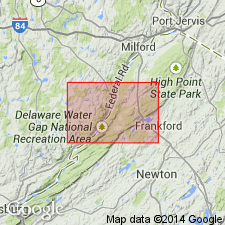
- Kalkberg Limestone
- Modifications:
-
- Overview
- AAPG geologic province:
-
- Appalachian basin
Summary:
Kalkberg Limestone not separately mapped in study area, but is discussed in text. Replaces Stormville Member of Coeymans Formation northeast of Wallpack Center, NJ. Kalkberg here is a medium-bedded, medium-gray, medium-grained silty limestone with lenses and nodules of black chert. Southwest of Wallpack Center, the Kalkberg Limestone grades into the Shawnee Island Member. Age is Early Devonian.
Source: GNU records (USGS DDS-6; Reston GNULEX).
- Usage in publication:
-
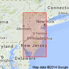
- Kalkberg Limestone*
- Modifications:
-
- Age modified
- Biostratigraphic dating
- Areal extent
Summary:
Age of Kalkberg Limestone refined to early Lochkovian. Contains conodont ICRIODUS WOSCHMIDTI, which restricts formation to earliest Lochkovian. Kalkberg extends into NJ only as far southwest as Lake Maskenozha quad (Epstein and others, 1967).
Source: GNU records (USGS DDS-6; Reston GNULEX).
For more information, please contact Nancy Stamm, Geologic Names Committee Secretary.
Asterisk (*) indicates published by U.S. Geological Survey authors.
"No current usage" (†) implies that a name has been abandoned or has fallen into disuse. Former usage and, if known, replacement name given in parentheses ( ).
Slash (/) indicates name conflicts with nomenclatural guidelines (CSN, 1933; ACSN, 1961, 1970; NACSN, 1983, 2005, 2021). May be explained within brackets ([ ]).